From Santa Maria Maggiore reach Malesco and then take the road for the Loana Valley as far as Fondo li Gabbi (1246 m – 4088 ft) where the paved road ends in a car park. Leaving the car here or on the dirt road below, take the dirt road that starts from the paved car park (M14 signs) and that, slightly uphill, reaches the head of the valley.
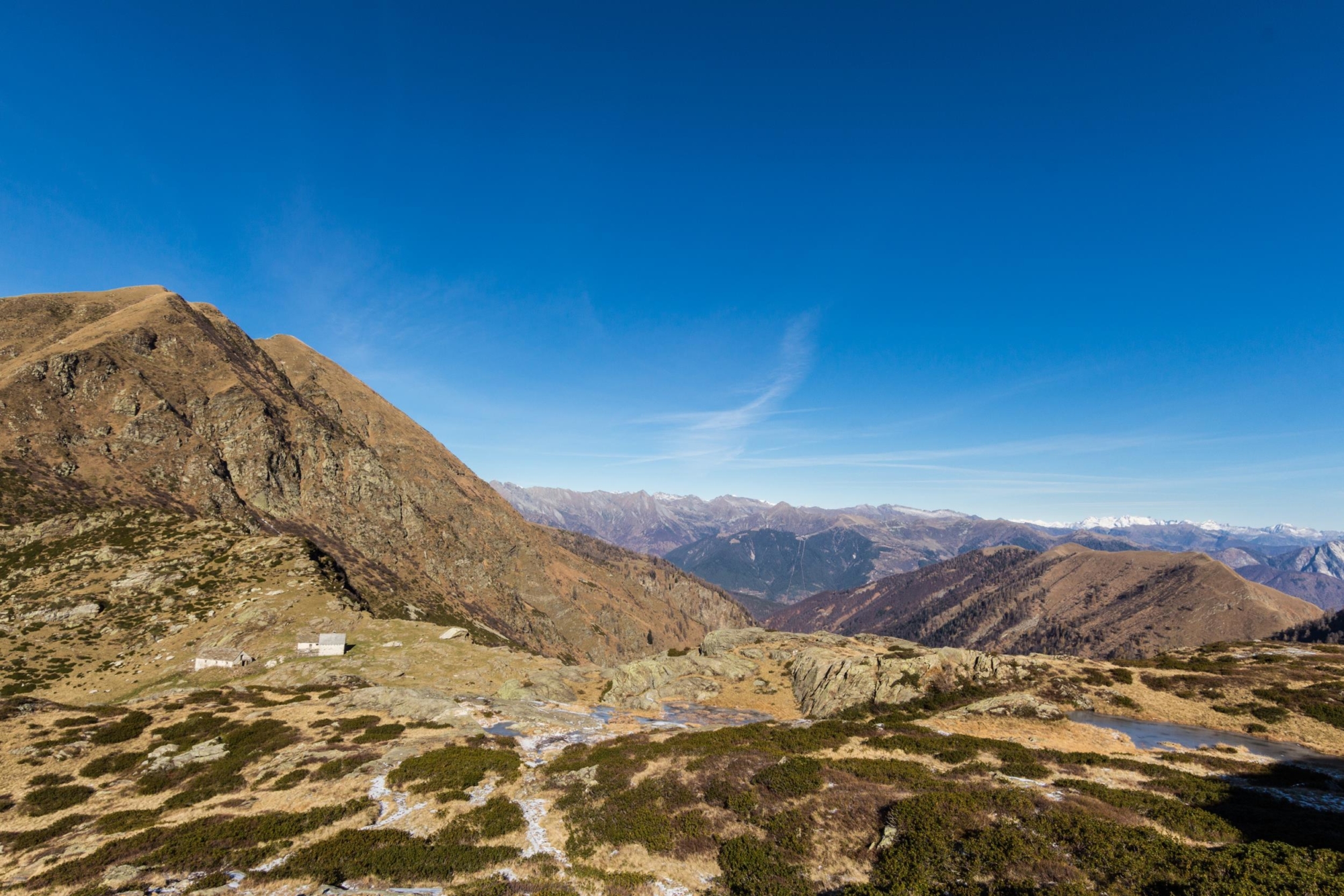
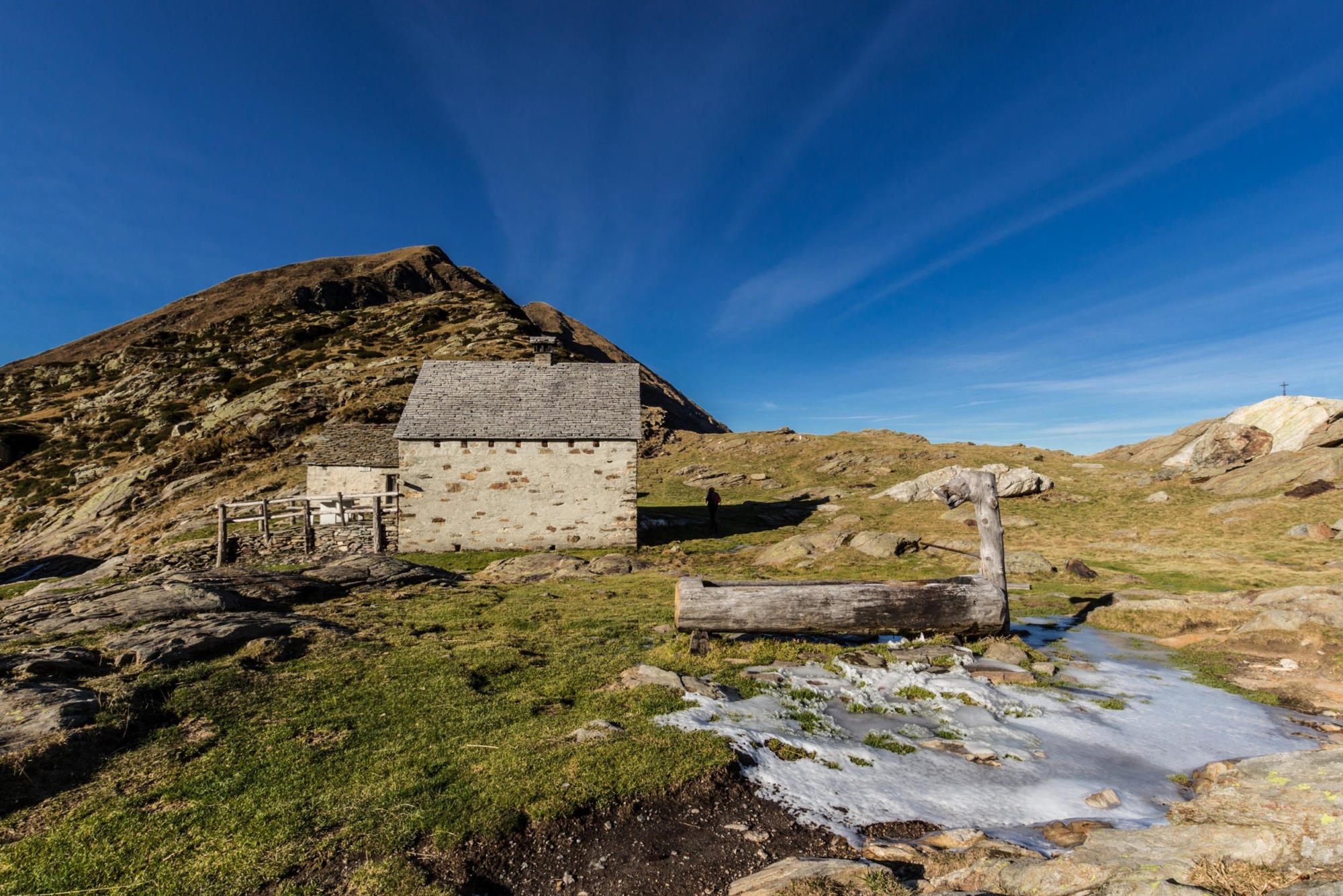
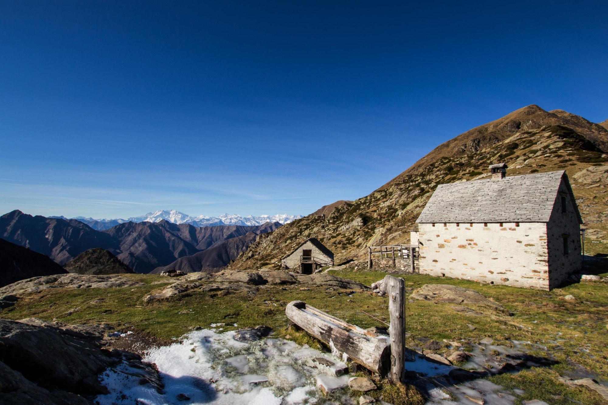
Crossing the stream, the road becomes a mule track and begins to climb first towards the Fornaci (ancient lime kilns recently renovated) and then towards the upper part of the valley. Here the ascent is constant with frequent zigzags and fairly steep slopes up to Alpe Cortenuovo (1790 m – 5873 ft) and then after a short traverse to Alpe Scaredi (1841 m – 6040 ft). You are at the main gateway to the Val Grande National Park from the north. Here there’s a large camp used by hikers as a stop for refreshments or overnight for entrance to the park.
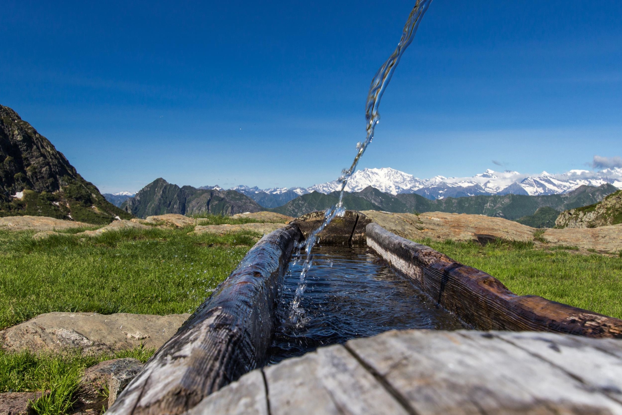
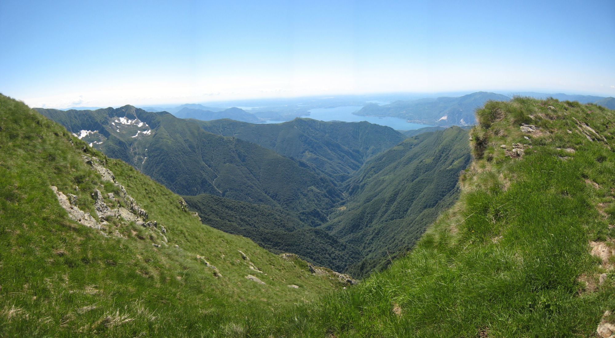
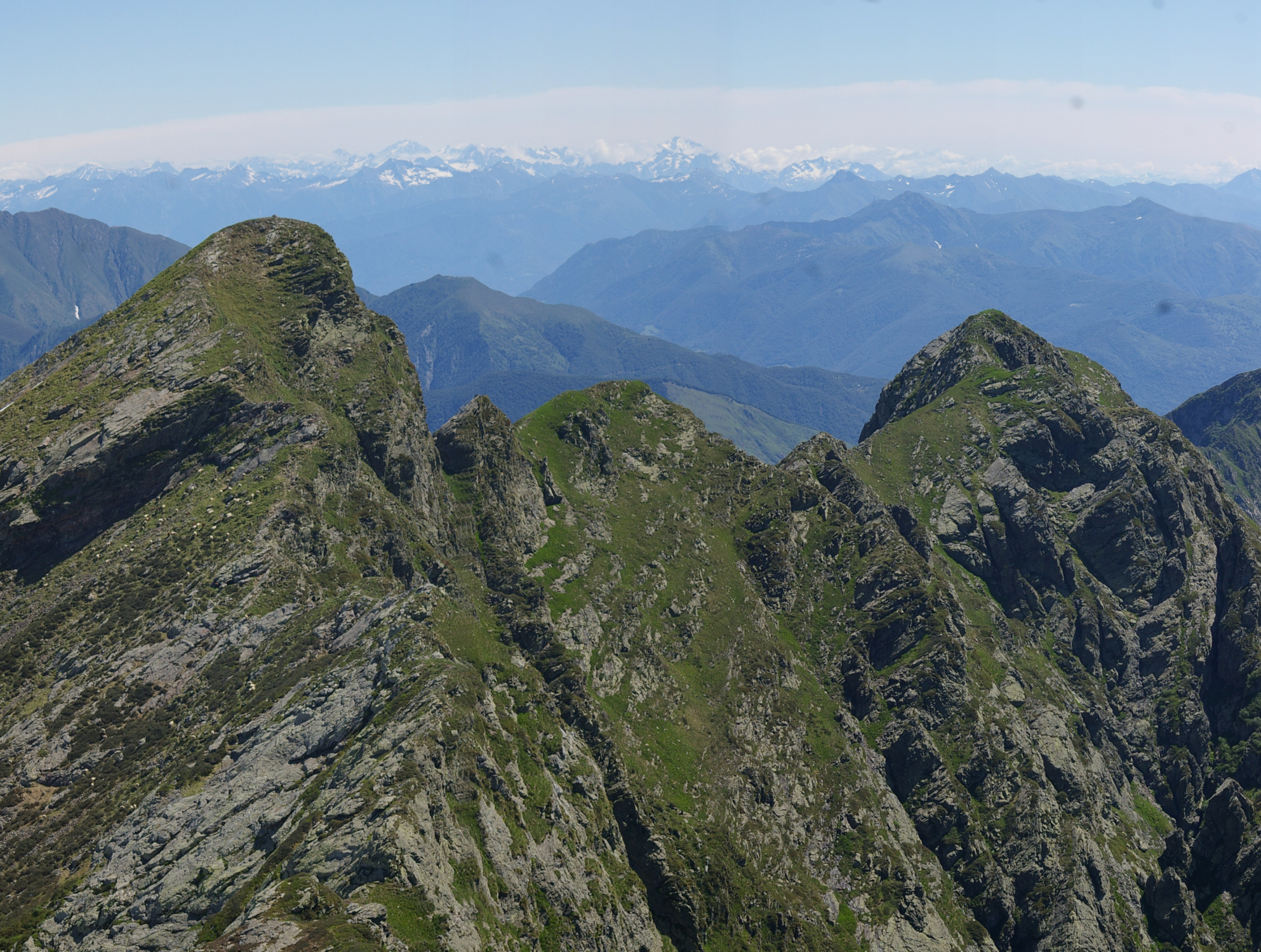
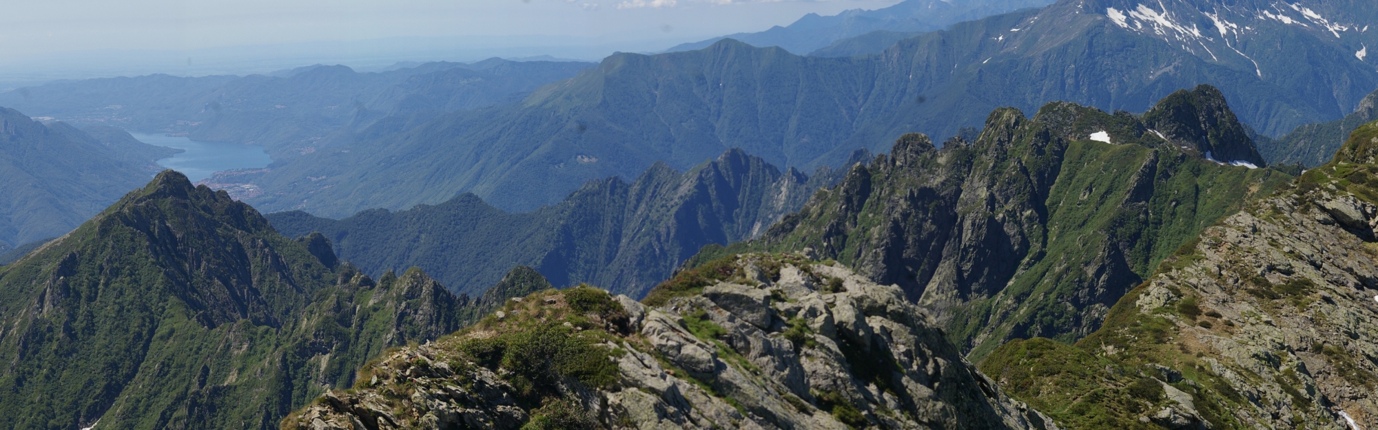
The view is truly wonderful: the deep valley to the west covered with woods leads to the heart of the Val Grande up to the climb to the Colma di Premosello. In the background, Monte Rosa and the over 4000 m (13,000 ft) peaks towards the Canton of Valais; in front, to the south, Monte Laurasca and Cimone di Cortechiuso. The area is huge and you’ll find space for picnics, as well as a fountain with water. In bad weather the camp has a lounge with a table, benches and a wood burning stove.
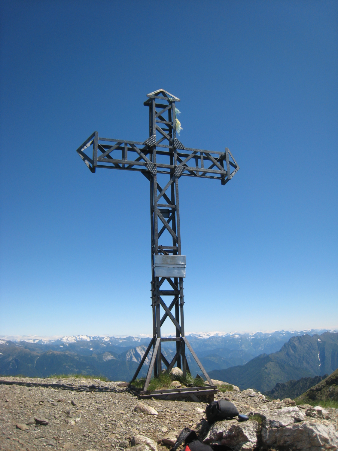
Alpe Scaredi alone can be considered the arrival point of a hike, but the fittest hikers can choose to continue to Laurasca summit.
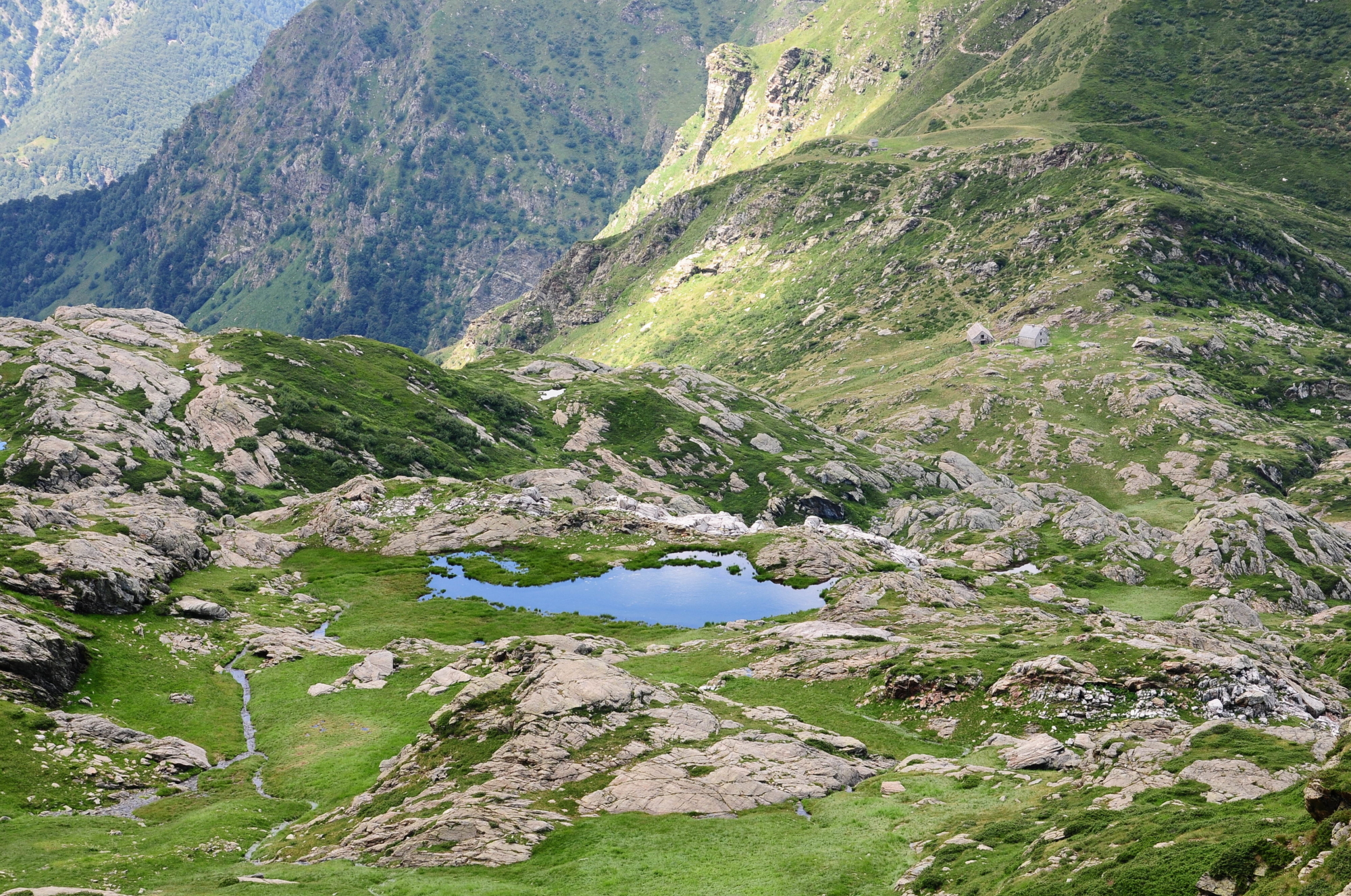
From the refuge, continue in a southerly direction and, after the fountain, take the path that goes slightly down until you reach the other side of the valley where it begins to climb with short bends. The route passes through rocky outcrops and small mountain lakes to a more decisive slope with wide hairpin bends. You reach a junction: on the left the path continues (in this section it joins the historic Sentiero Bove) towards Bocchetta di Cortechiuso and the Valle Cannobina and on the right towards Pizzo Laurasca and Bocchetta di Campo (P17).
After a short stretch the path forks: to the right, along the flat towards Bocchetta di Scaredi and the Bocchetta di Campo Refuge, to the left uphill towards Pizzo Laurasca. The path (M14d) is clear and signposted, but it’s rather steep and some stretches of the trail, along which there is a lot of dirt and stones, must be approached with care (two sections with chains make the most exposed route easier).