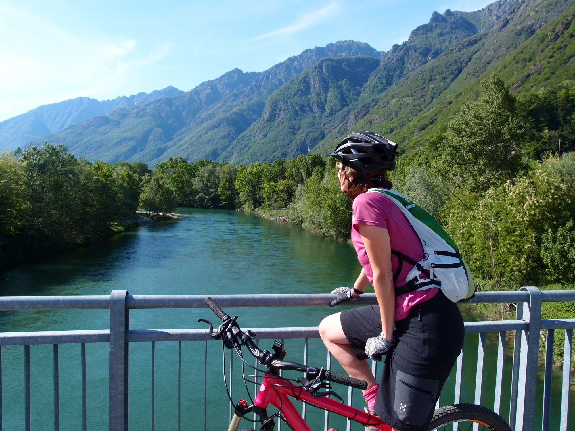
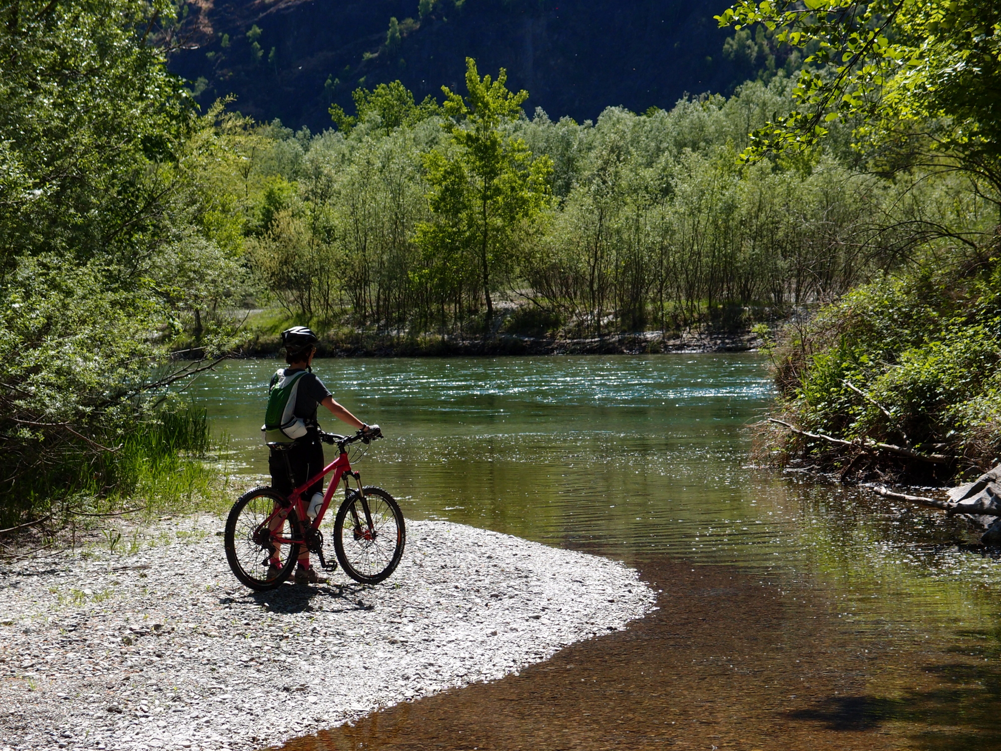
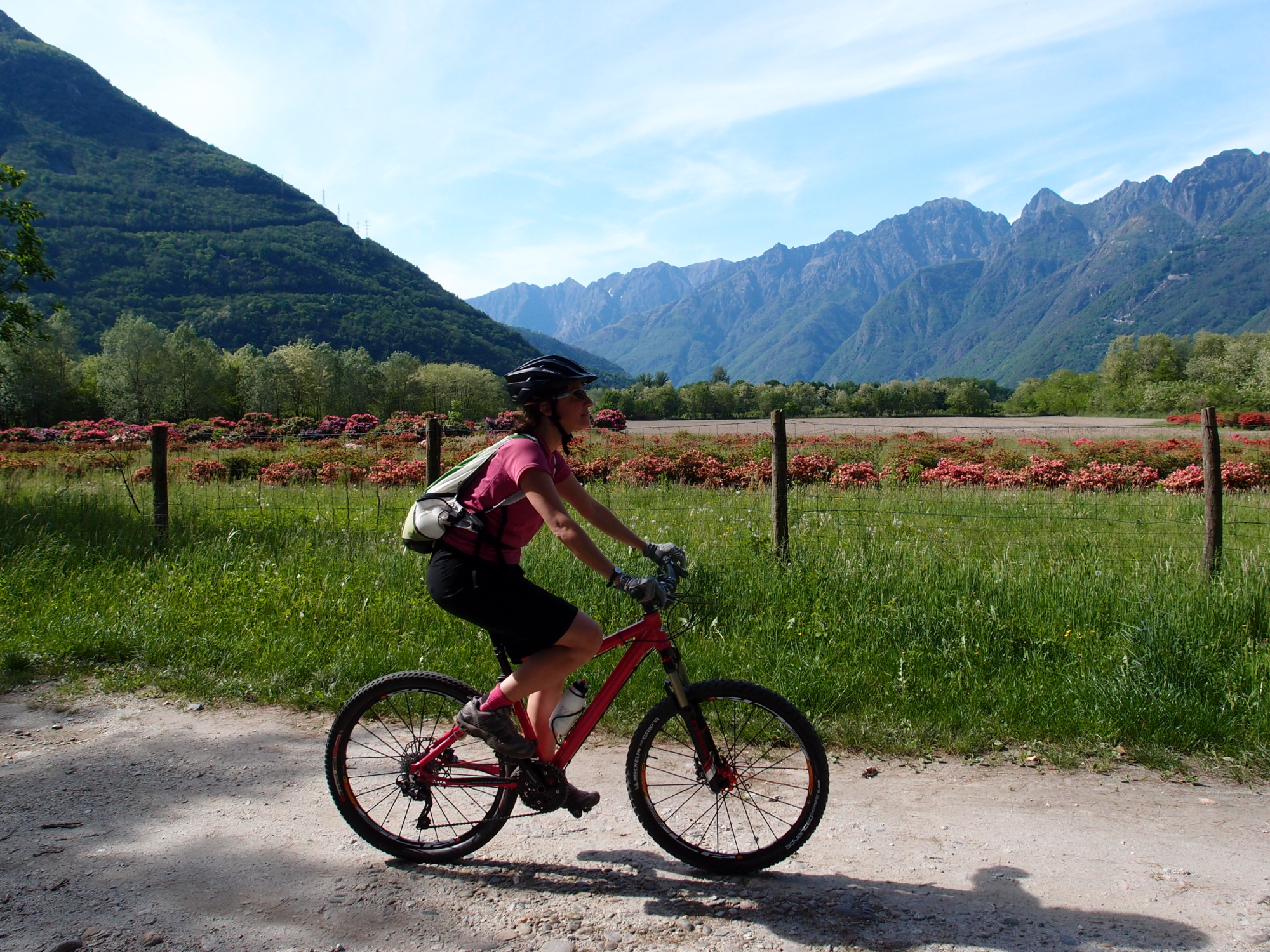
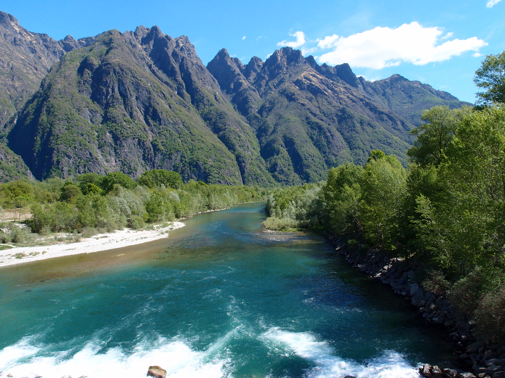
From the centre of Ornavasso, take the road bridge over the Rio San Carlo and then descend towards the sports ground. From here, cross the Toce River thanks to a modern cycle and pedestrian bridge and then turn right via a pleasant cycle path along the left bank of the Toce. The surroundings are very evocative. The banks of the river are home to luscious vegetation that in places opens up, allowing you to glimpse the flower cultivations around Lake Maggiore.
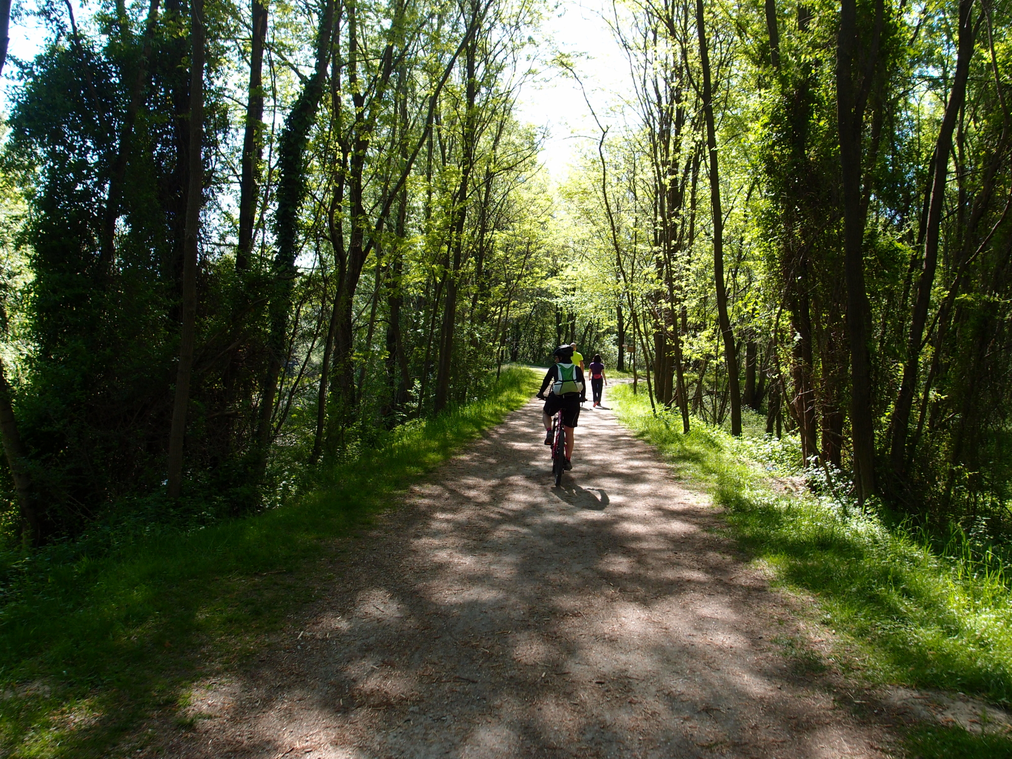
Pass the junction for the Mergozzo sports field and reach the end of the cycle path, near the former incinerator. From here, turn left and take the provincial road from Mergozzo. Then turn right and, paying attention to traffic, follow the paved road for about 500 metres (1/3 mile) and turn right again onto a wide path that leads below the Ossola highway, where you will find the beautiful network of pedestrian and off-road cycle routes (dirt tracks) in the Fondotoce Special Nature Reserve. The cycle path continues along the Toce River until it reaches the Fondotoce camping area. A short detour along the path is recommended to reach the stunning beach on Lake Maggiore. The trail then continues alongside the reed bed (it’s worth going as far as the observatory) and the canal that connects Lake Mergozzo with Lake Maggiore, and then reaches the large Fondotoce roundabout and the “Casa della Resistenza” (the House of the Resistance). From here, a cycle path along the road takes you back to Verbania Pallanza FS Railway Station.