Hiking – A trip around Croveo
Difficulty
Easy
Period
Spring / Summer / Autumn

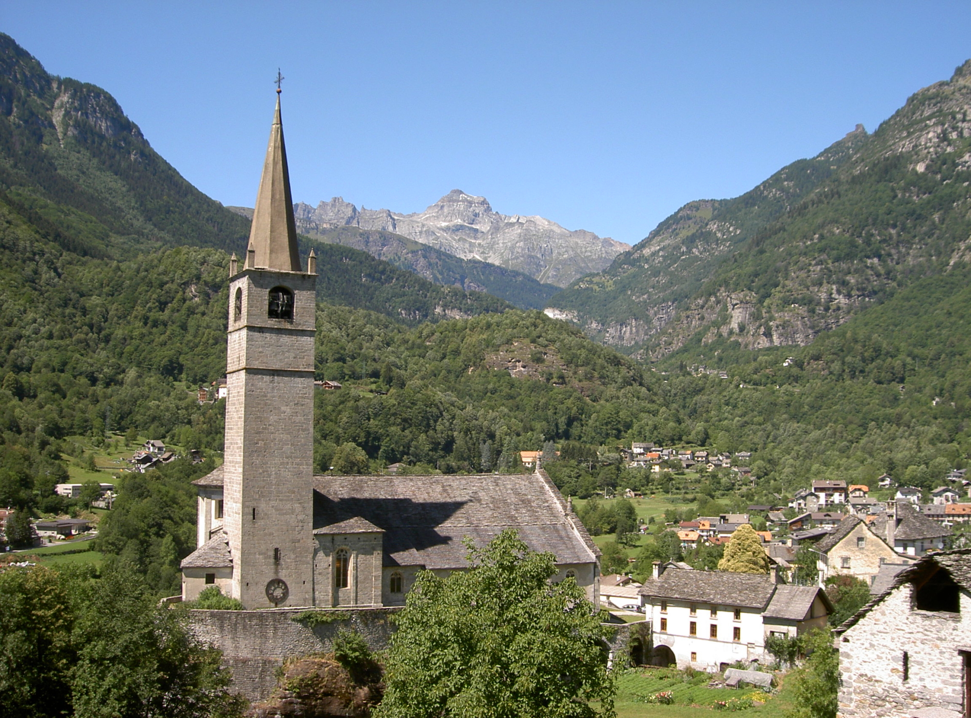
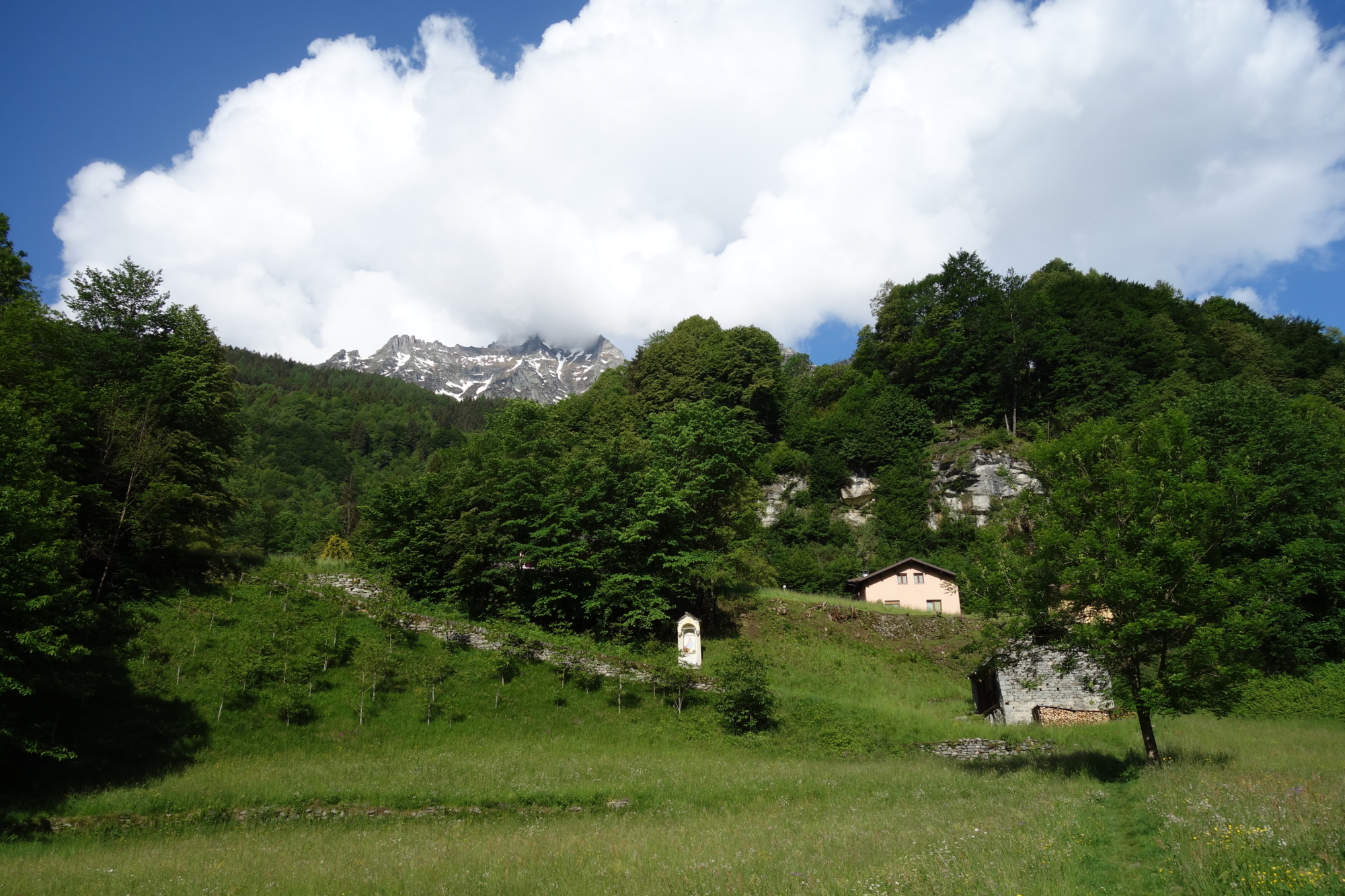
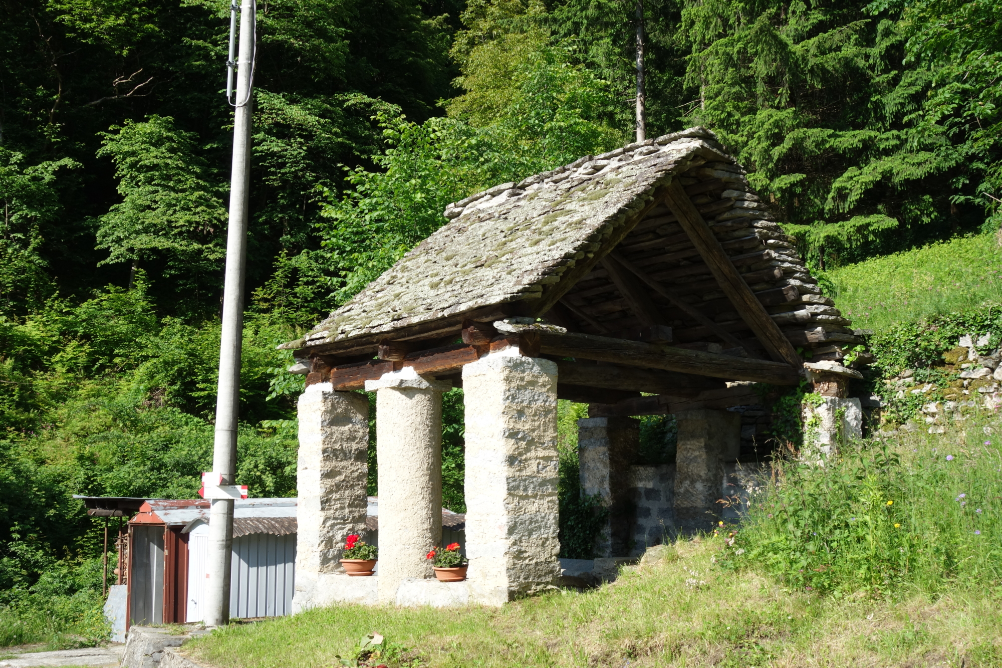
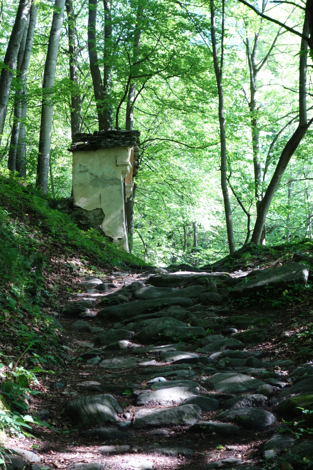
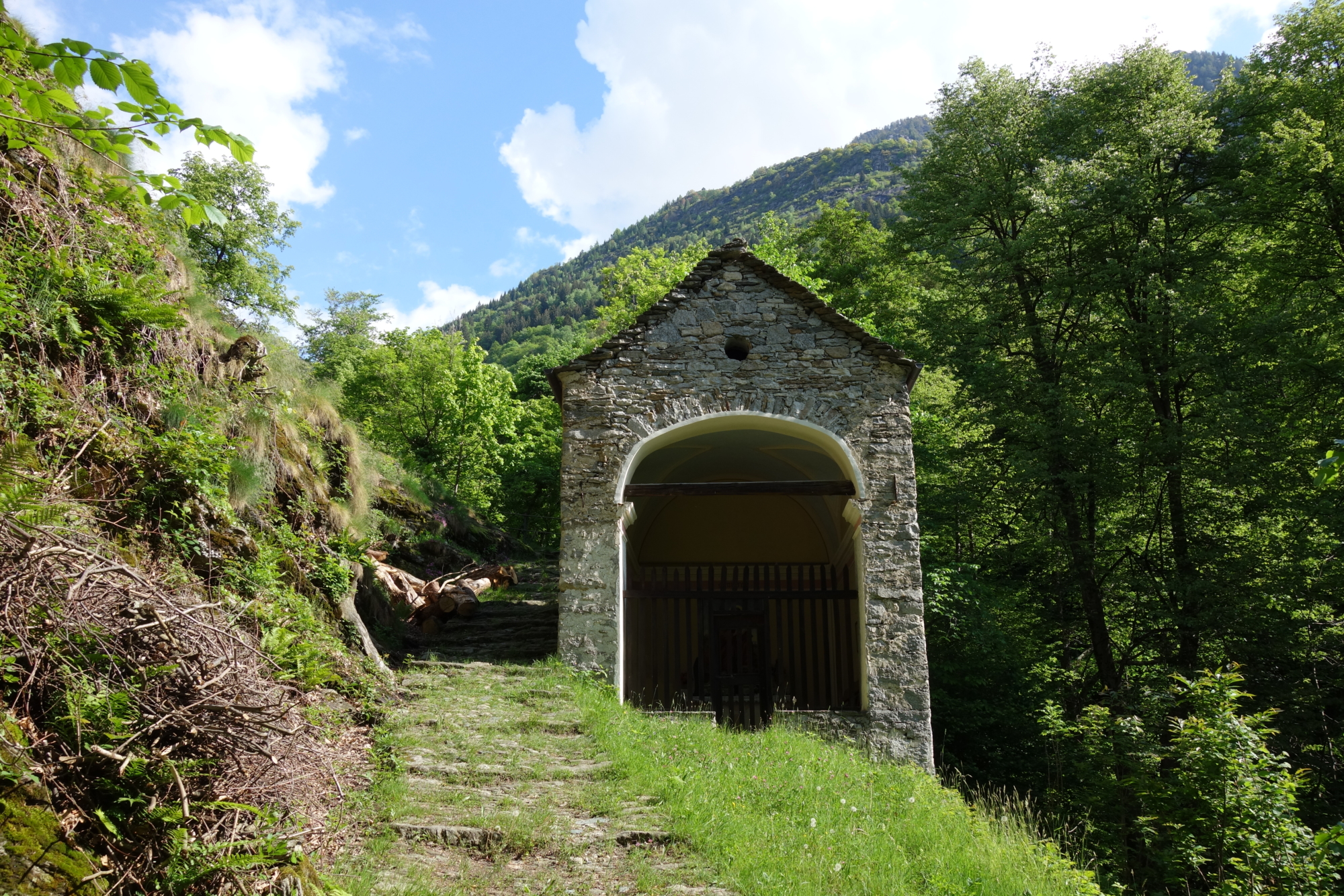
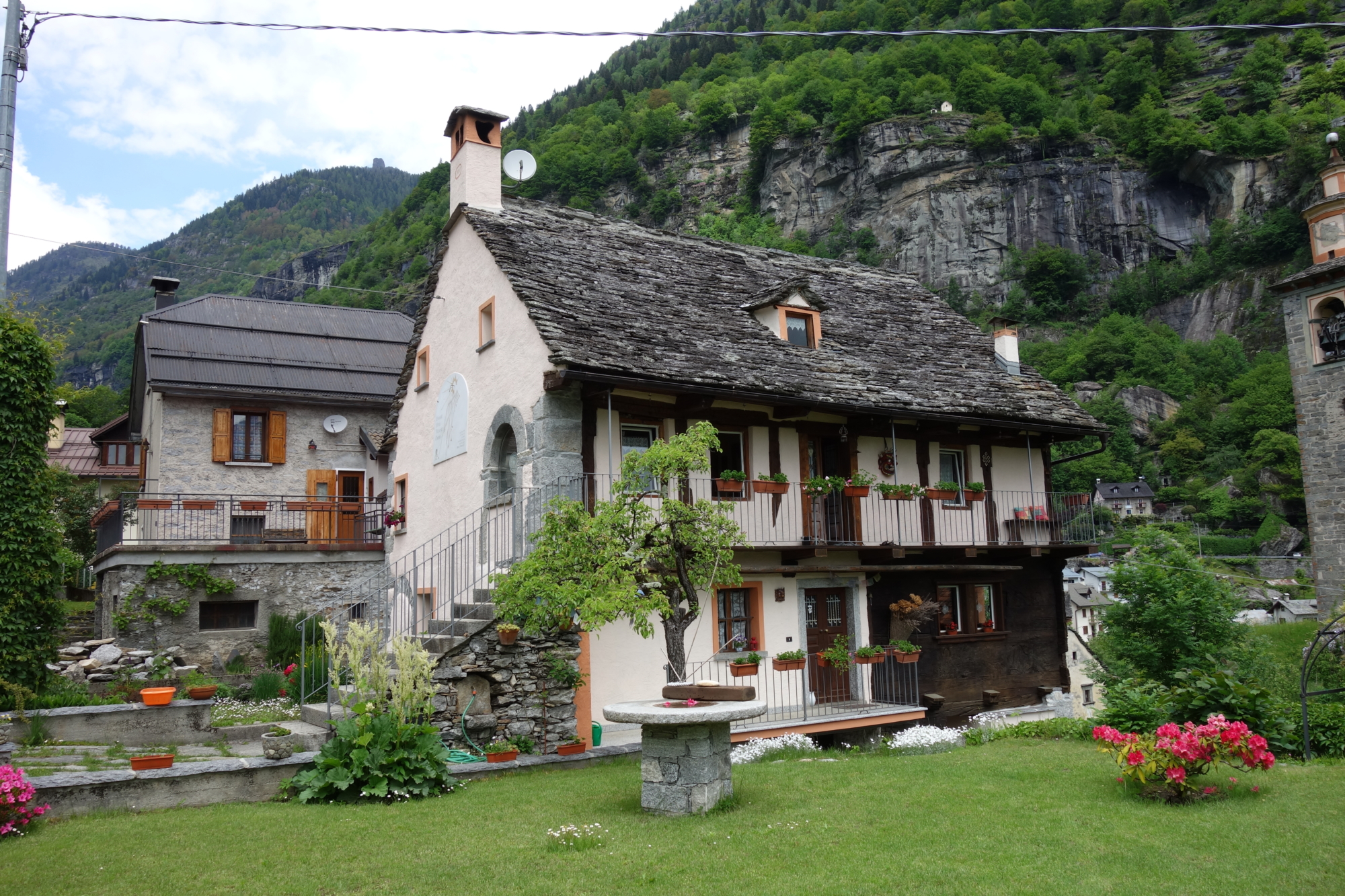
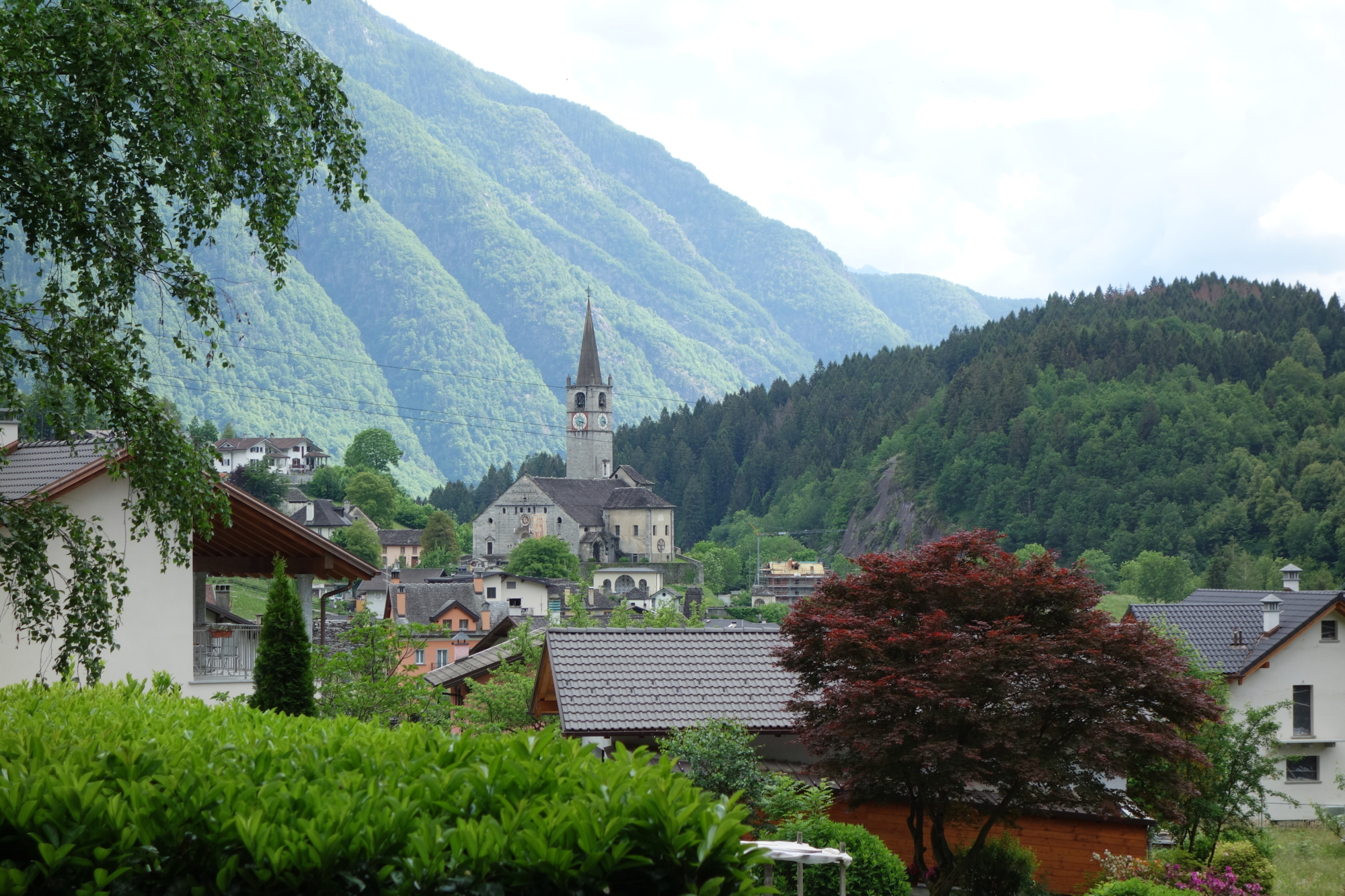
This short route leads to the discovery of picturesque corners of the Antigorio Valley, where nature, history and man’s age-old work intertwine. Just before Baceno, the historic road to the Arbola Pass (H00) begins, which has allowed intense trade between the Devero Valley and the Binn Valley over the centuries. To facilitate the passage of beasts of burden, a mule track was carved into the rock: a path that now offers extremely impressive views, thanks to the work of rivers and streams giving rise to spectacular gorges and potholes, with Croveo being particularly famous for such features. The small centre of the Antigorio Valley is sadly famous also for the numerous cases of witch trials, today evoked through a very heartfelt and well-attended event. Croveo still has 12th-century houses in its historic centre (period of colonisation of the Walser populations), an ancient press and important evidence of 16th-century rural architecture.

Description

From the bus stop in Baceno (or from the car parks in the centre, if you arrive by car), continue on foot to the sports ground. After passing the chapel at the junction for Uriezzo, turn left for the mule track that leads to the Oratory of Graglia and from here you reach the old wash house, from which the mule track marked H00 starts. Once you reach the Caldaie di Croveo (Boilers of Croveo), you turn to cross the village, admiring the old houses and the lever press. Once you reach the main square in the village, continue along the paved road to the junction for Uresso/Baceno marked H00a and this path will take you back to the centre of Baceno.

Useful info

Italian Alpine Club (CAI) site identification code

Sector H “Routes” – IH01

Useful info

Domodossola FS International Railway Station (from Bern and Milan). From the BUS terminal, take the Formazza Valley bus route, getting off in Baceno.
Contact details: Municipality of Baceno
CAI contact details: Formazza Section

Difficulty

Easy. Be careful on the first uphill stretch as the footpath is not very well-trodden.

Lenght

5 km

Ascent

213 m

Total duration

1 hr 35 min

Recommended equipment

Walking boots.

Signage

H00 – H00a – H00b

Reference map(s)

Map no. 12 scale 1:25,000 of the Geo4Map/CAI
Digital maps on the following apps: ViewRanger – Avenza Maps

Historic, artistic and cultural value
Value of traditional and peasant life
Natural value
Ideal for
Everybody
You will discover
Nature
Sport
Guide to itineraries and useful info
Ideal for
Everybody
You will discover
Nature
Sport
Guide to itineraries and useful info
Choose your
mountain guide
IAT di Crodo
Via Bagni, 20 28862 Crodo (VB) See map
Choose your
tour or nature guide

You might also be interested in...