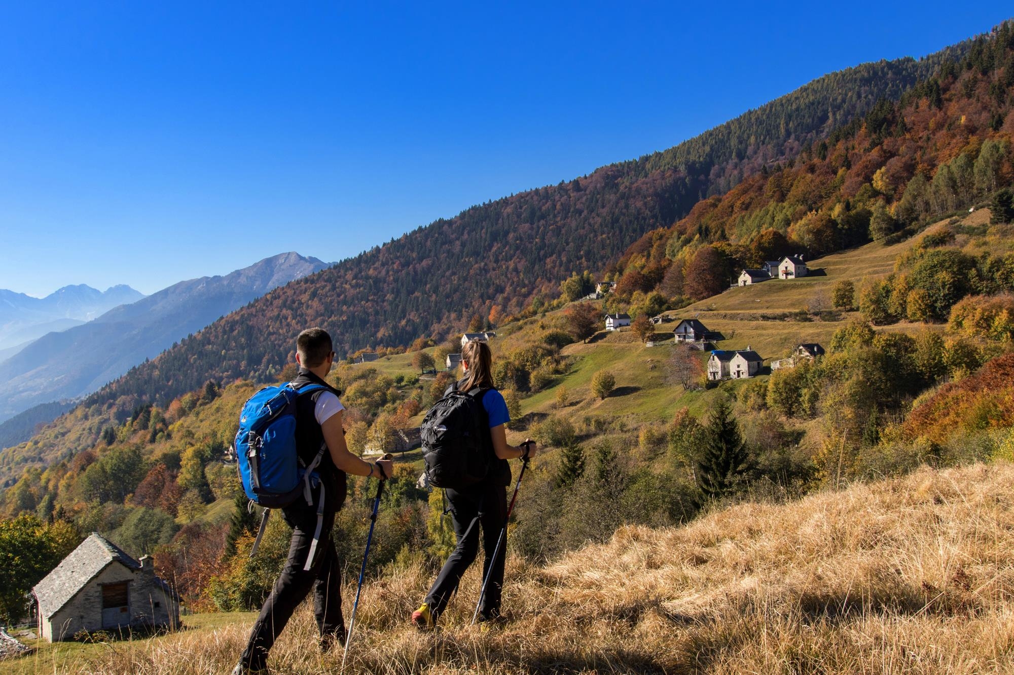
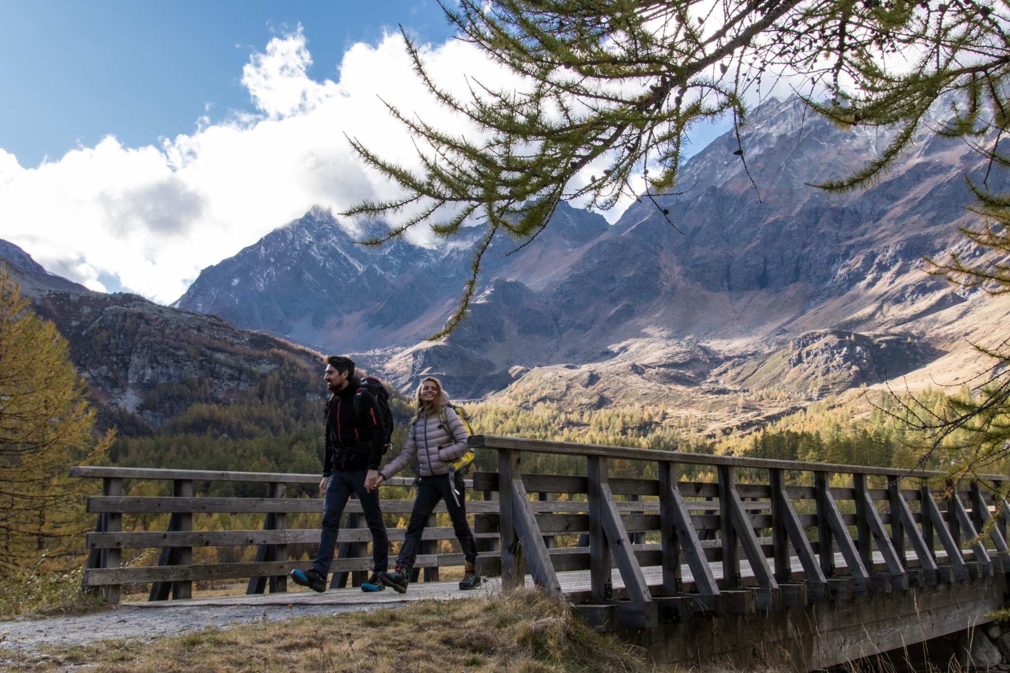
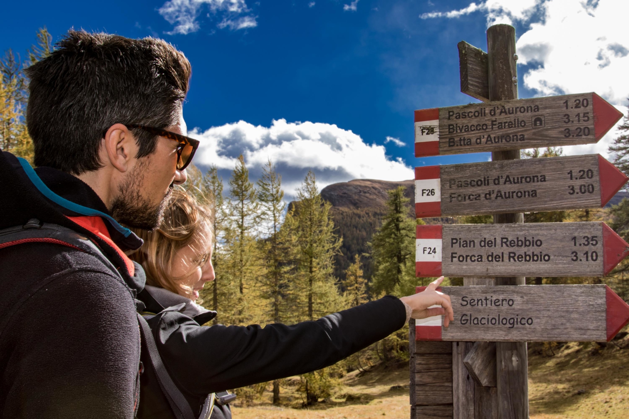
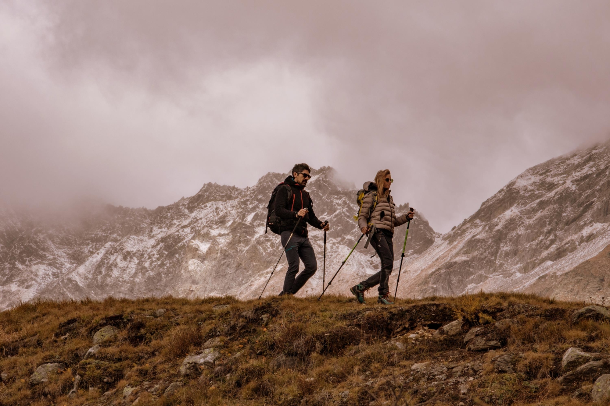
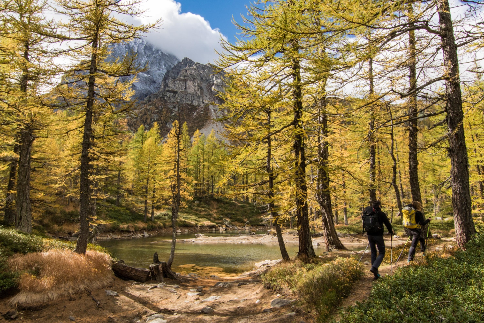
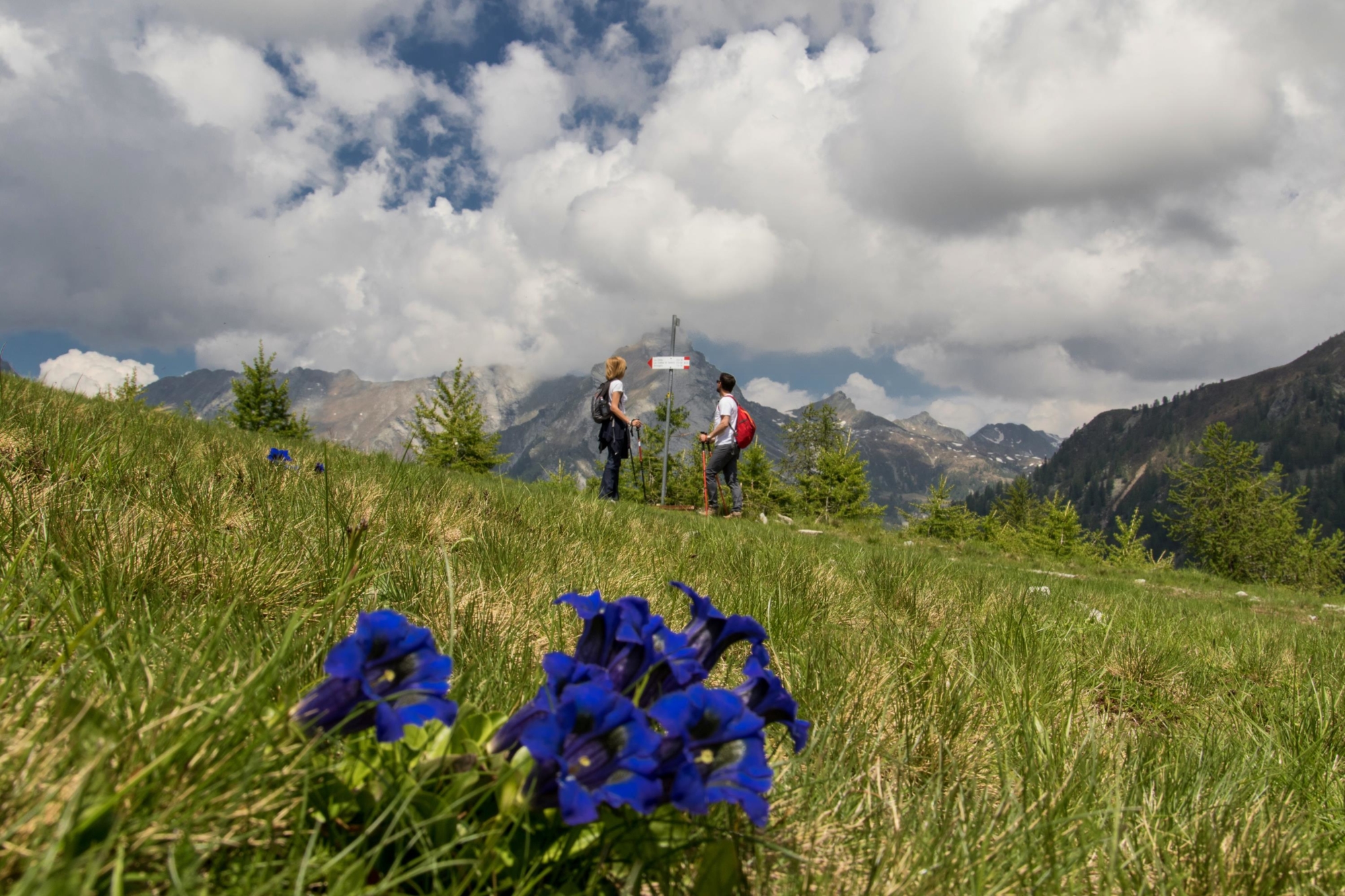
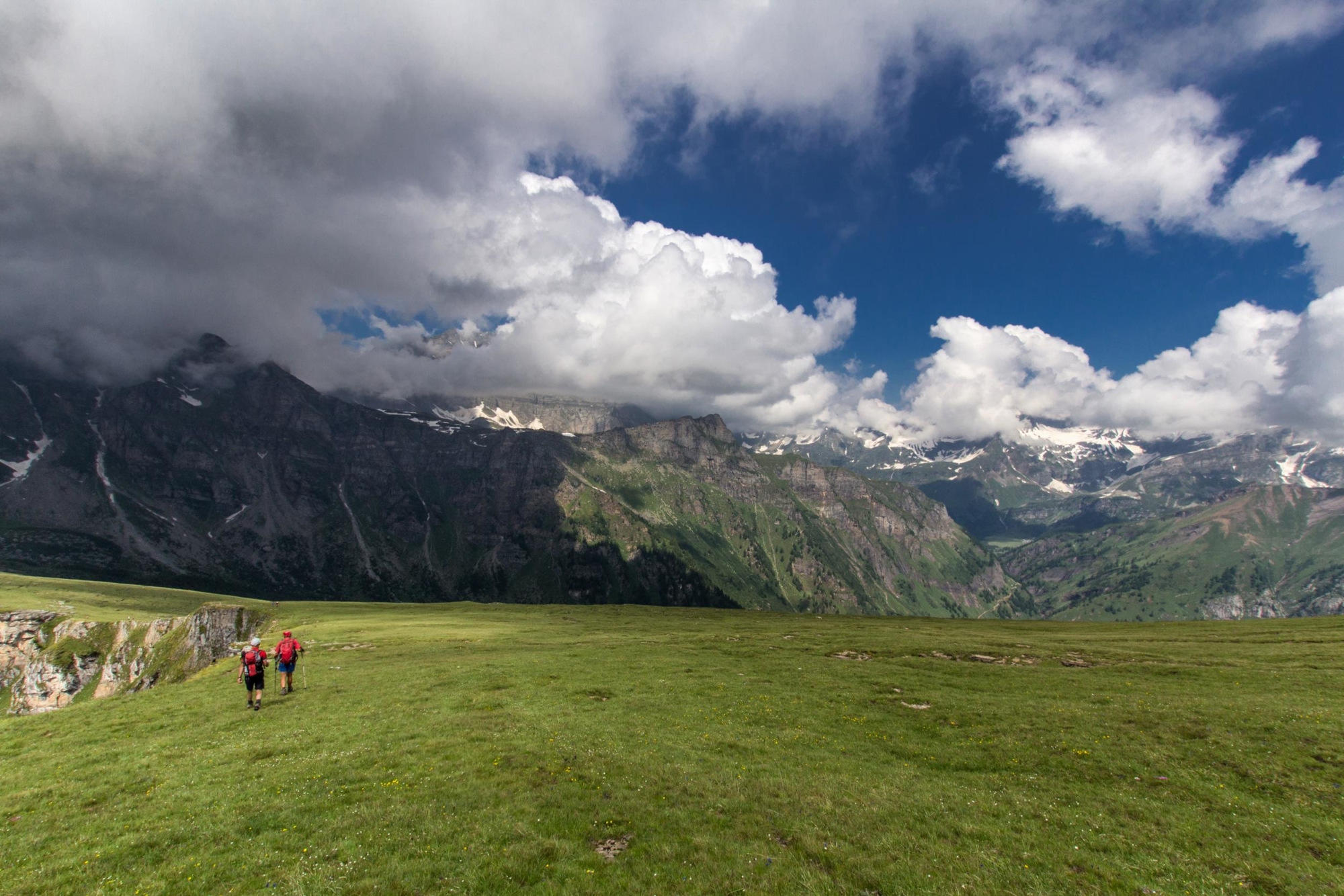
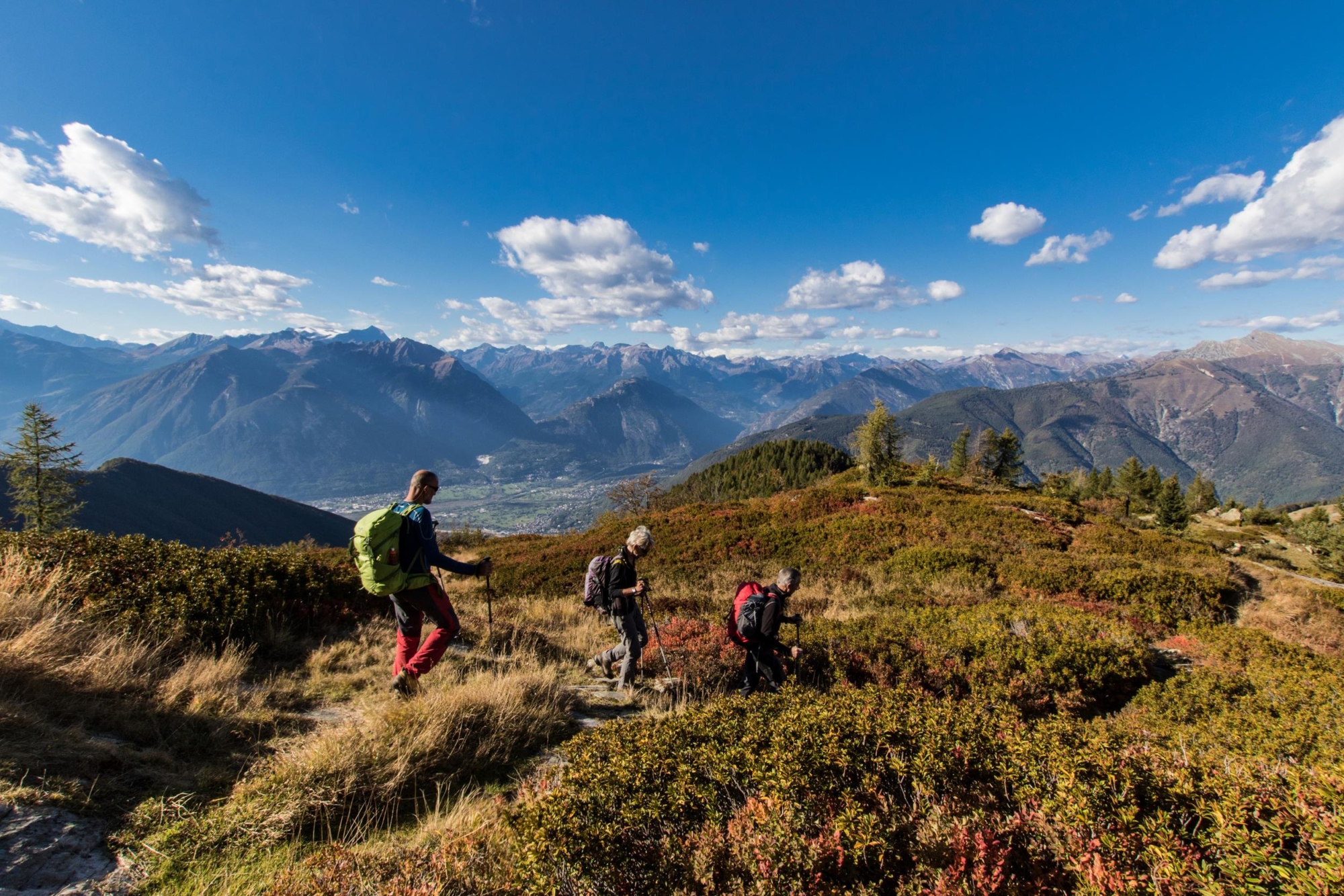
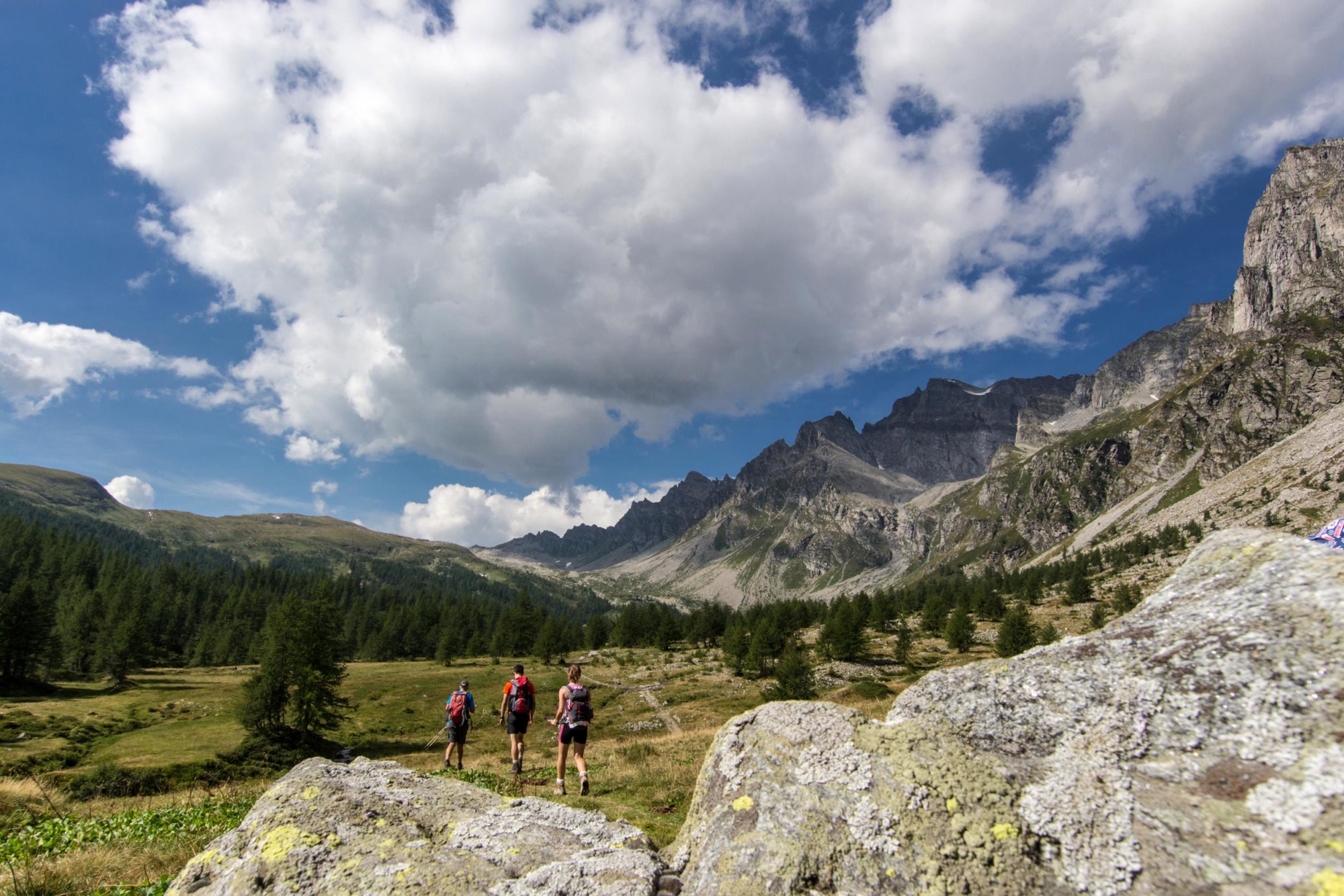
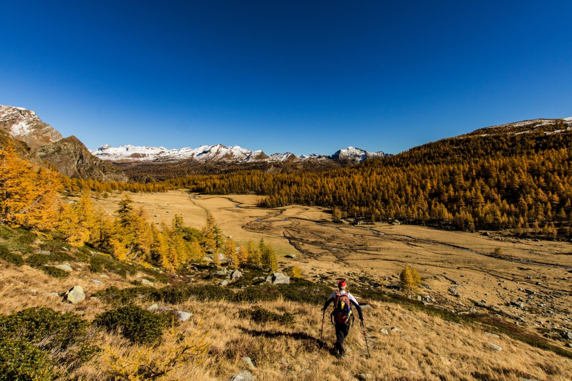
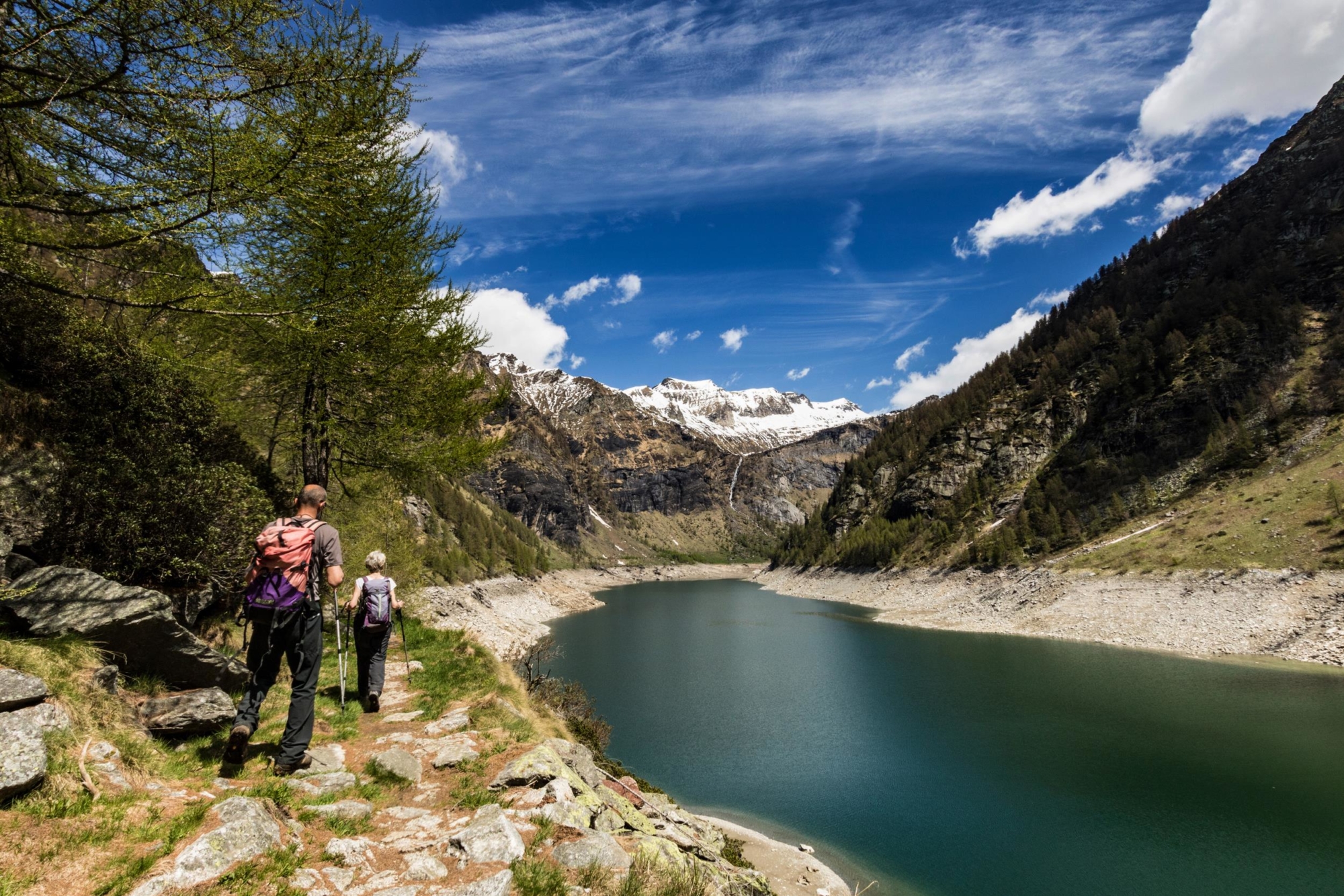
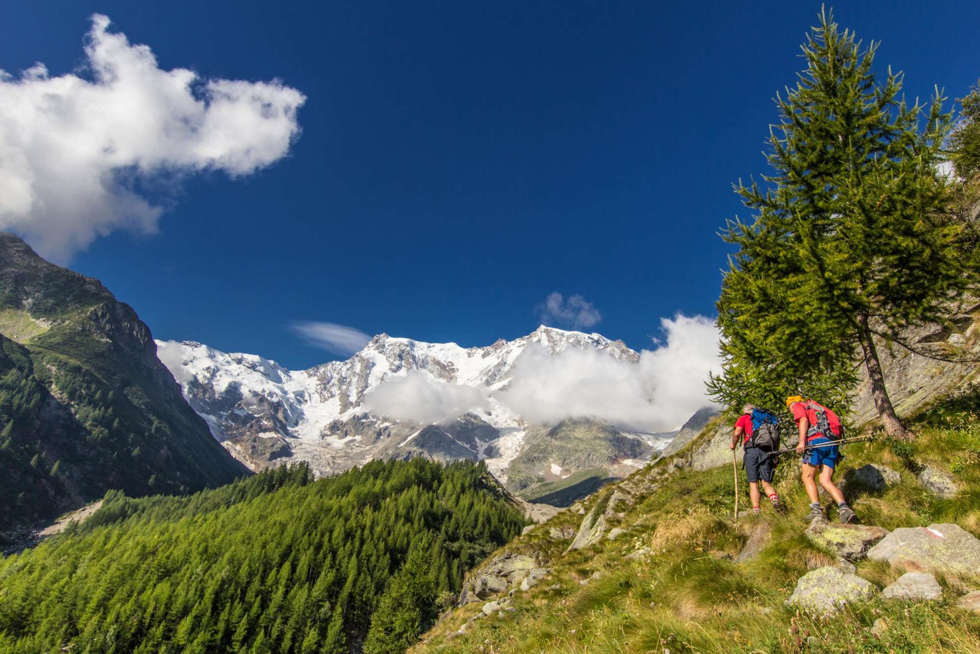
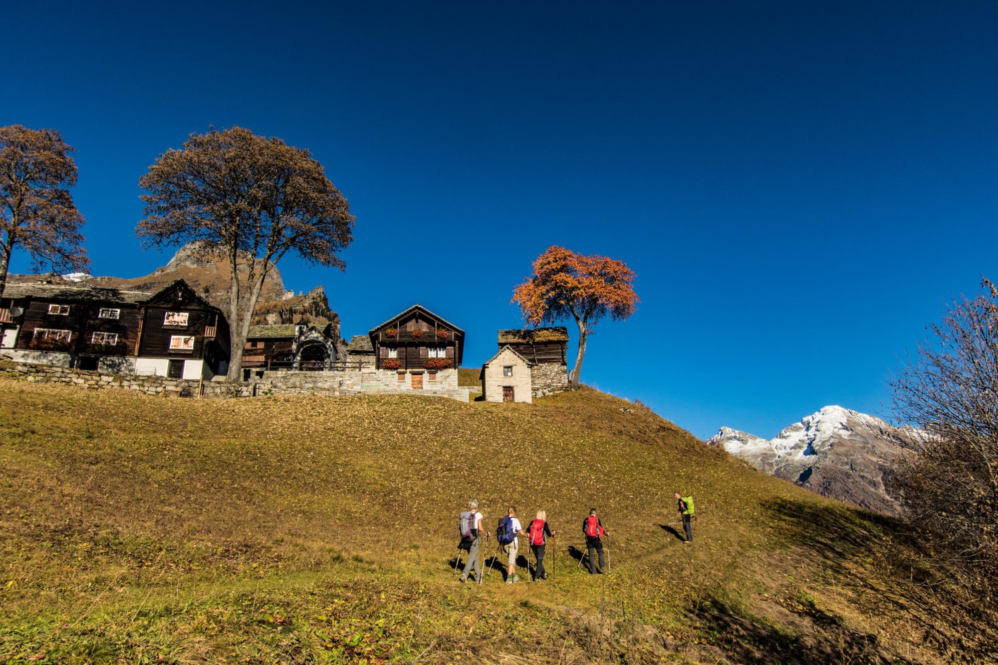
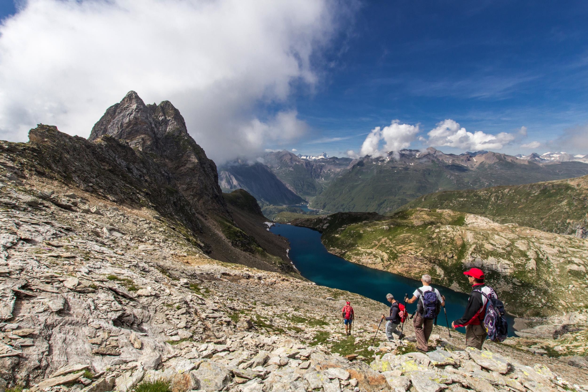
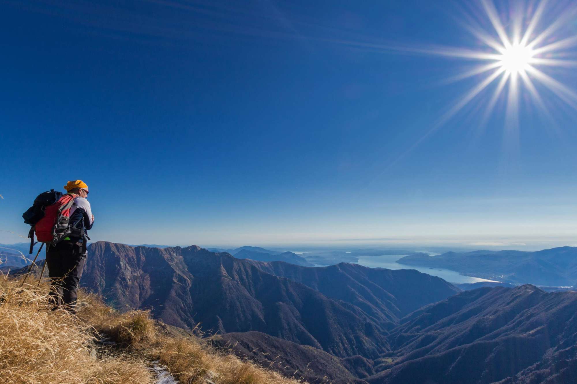
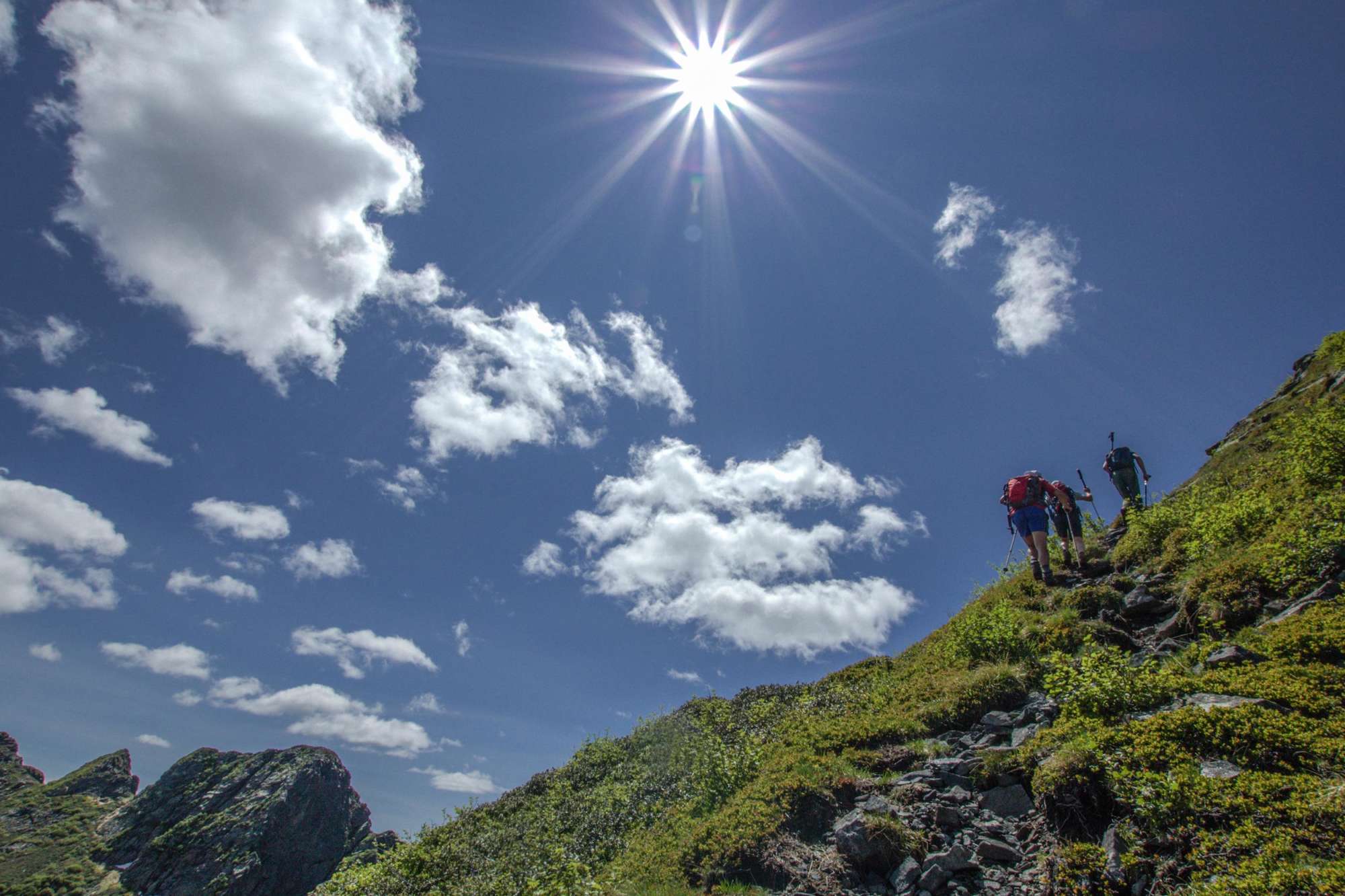
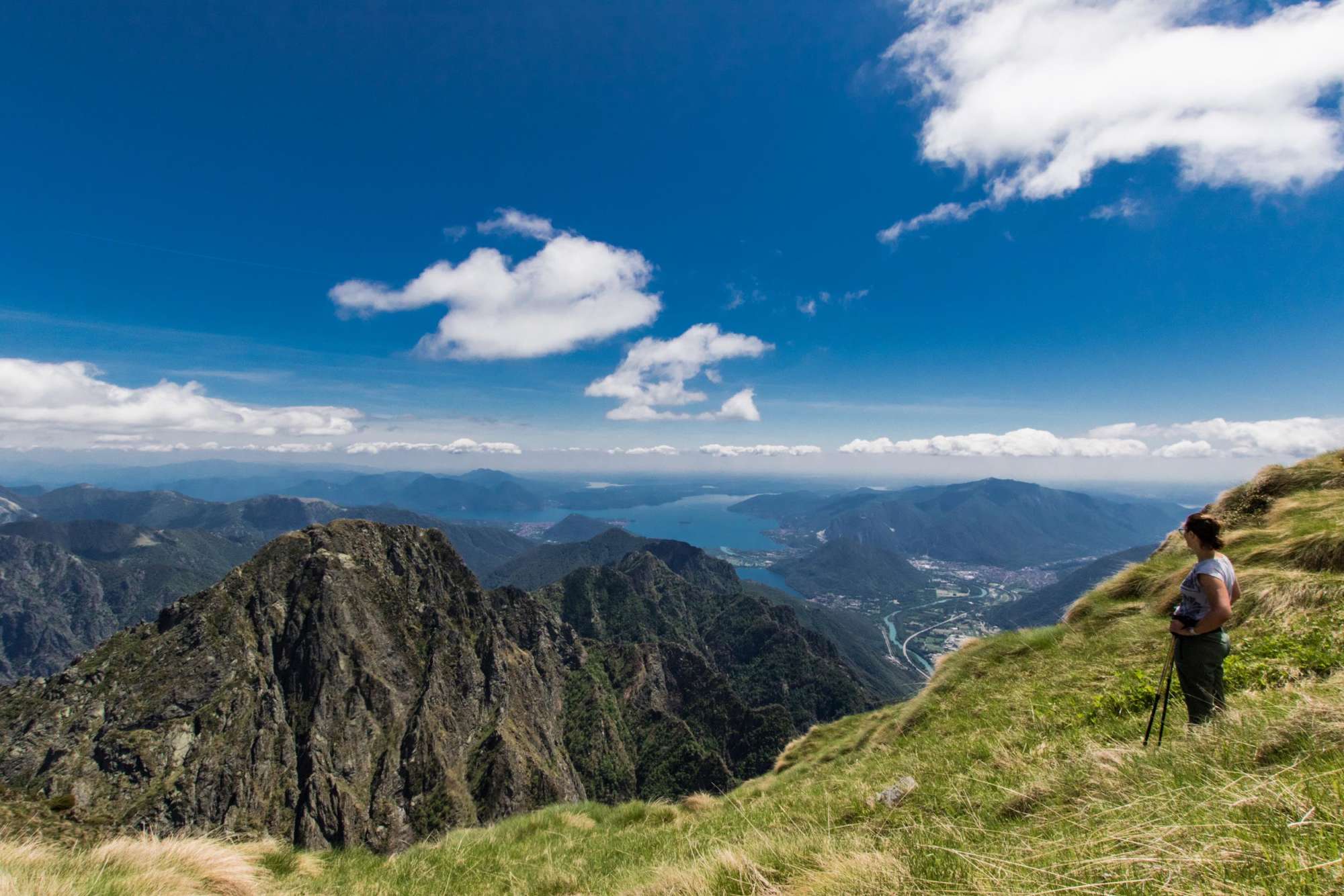
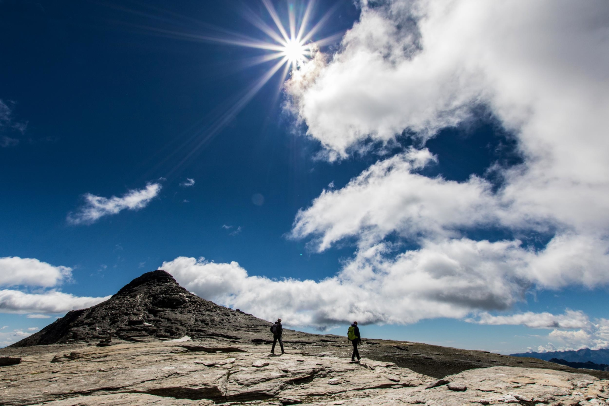
The trekking routes marked by VisitOssola with the valuable collaboration of the East Monte Rosa Sections of the Italian Alpine Club allow you to discover the scenic beauty and unique features of the Ossola Valleys. Each suggested hiking route presents information about the route, its cultural and natural excellence and accommodation.
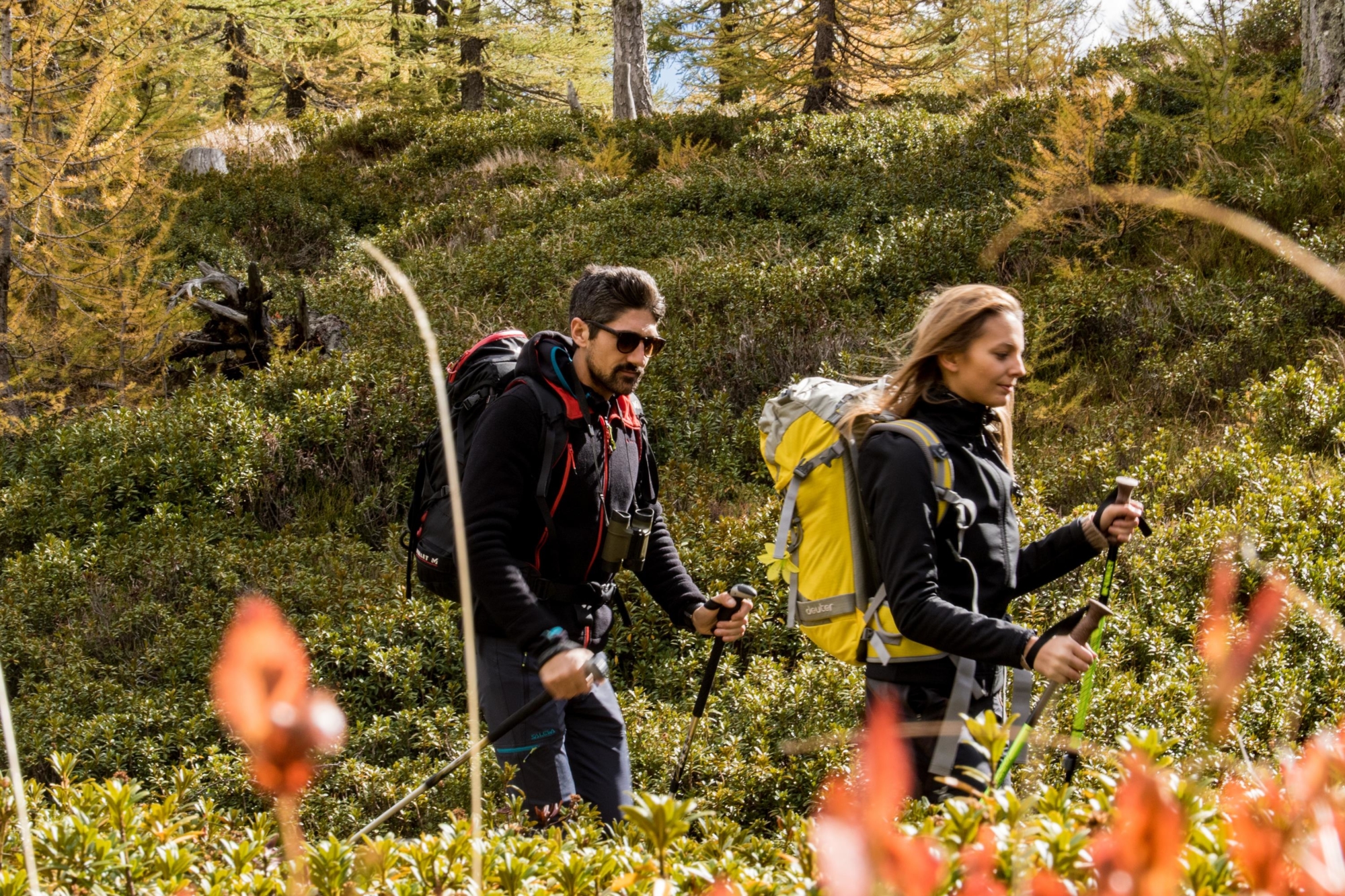
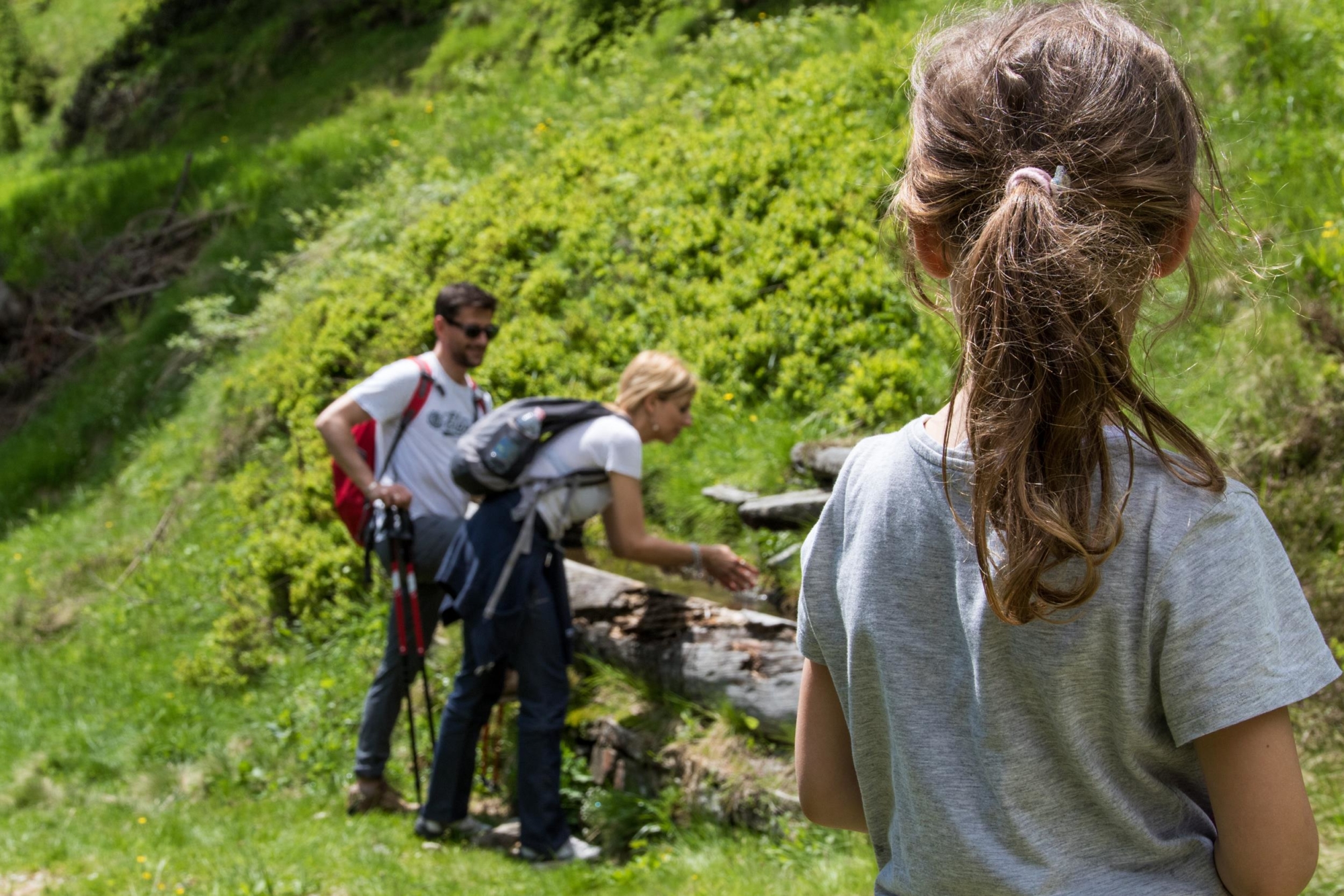
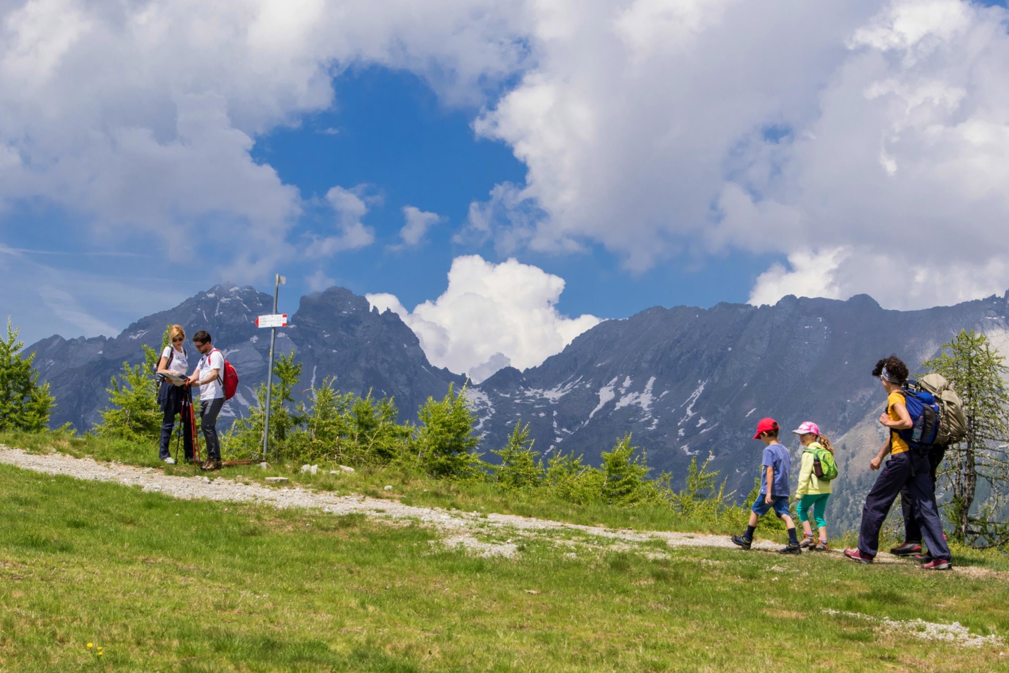
Marking, maintaining and making people aware of these routes is part of a project by the Italian Alpine Club. The routes marked can also be undertaken for educational purposes, to bring young people closer to nature, history and local traditions, creating a harmonious relationship between man and environment.
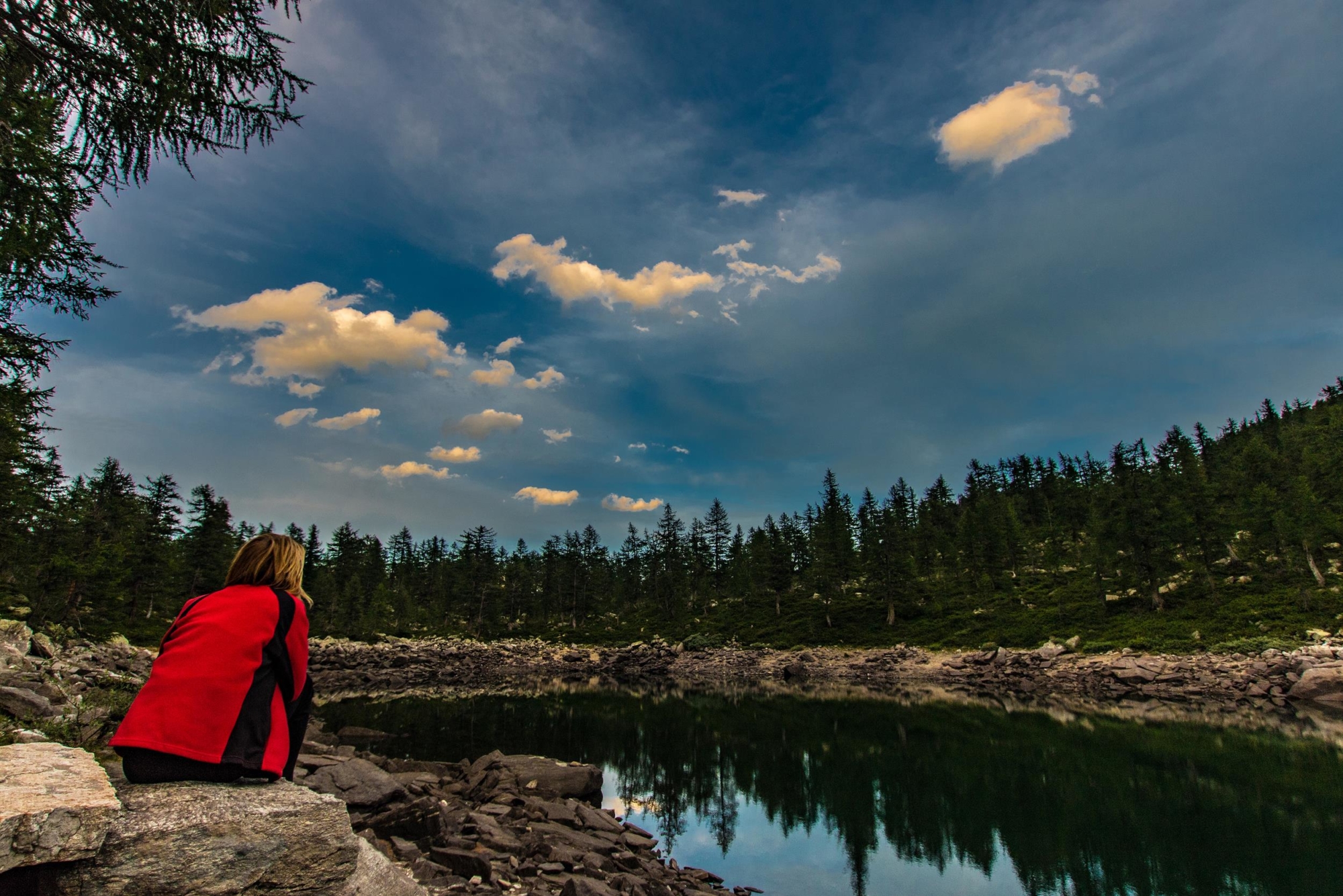
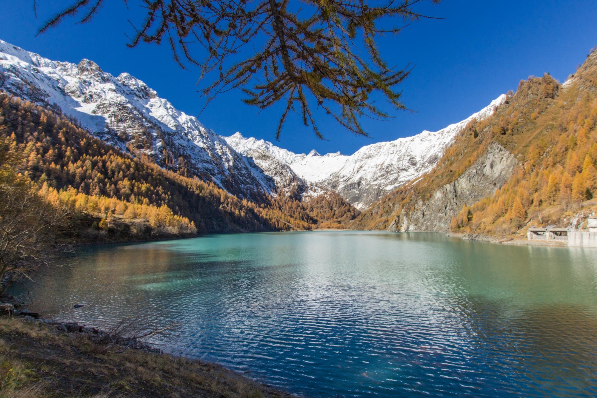
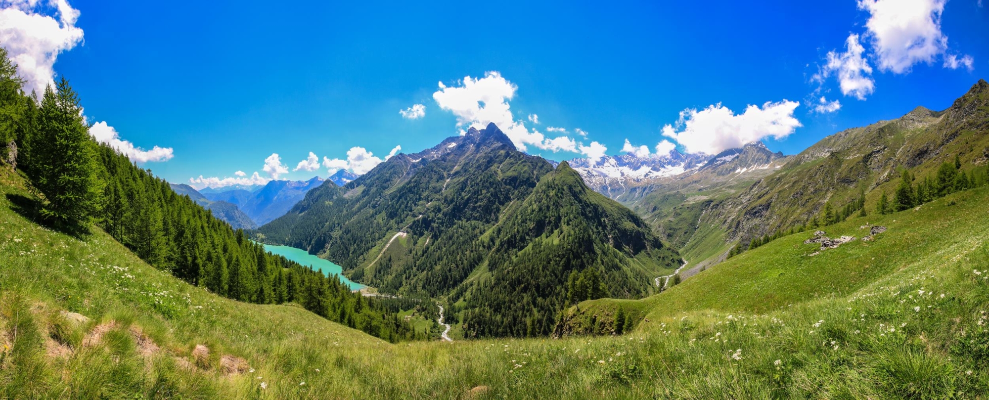
Ossola Valley includes some important protected areas: the Val Grande National Park, the Protected Areas of Alpe Veglia, Devero and the Alta Valle Antrona, the Sacred Mount Calvary of Domodossola, which is a UNESCO World Heritage Site, the WWF Oasis of Pian dei Sali and Bosco Tenso, the Monte Rosa Wildlife Oasis and some SPA (Special Protection Areas).
But the Ossola Valley is also rich in important historical and artistic testimonies: archaeological traces, historical archives, art collections, religious buildings, well-preserved rural nuclei, clear examples of Alpine architecture, testimonies of material culture, and ancient communication routes that run from the bottom of the valley to the extreme mountain slopes.