Hiking – Around Alpe Devero and Crampiolo
Difficulty
Easy
Period
Spring / Summer / Autumn

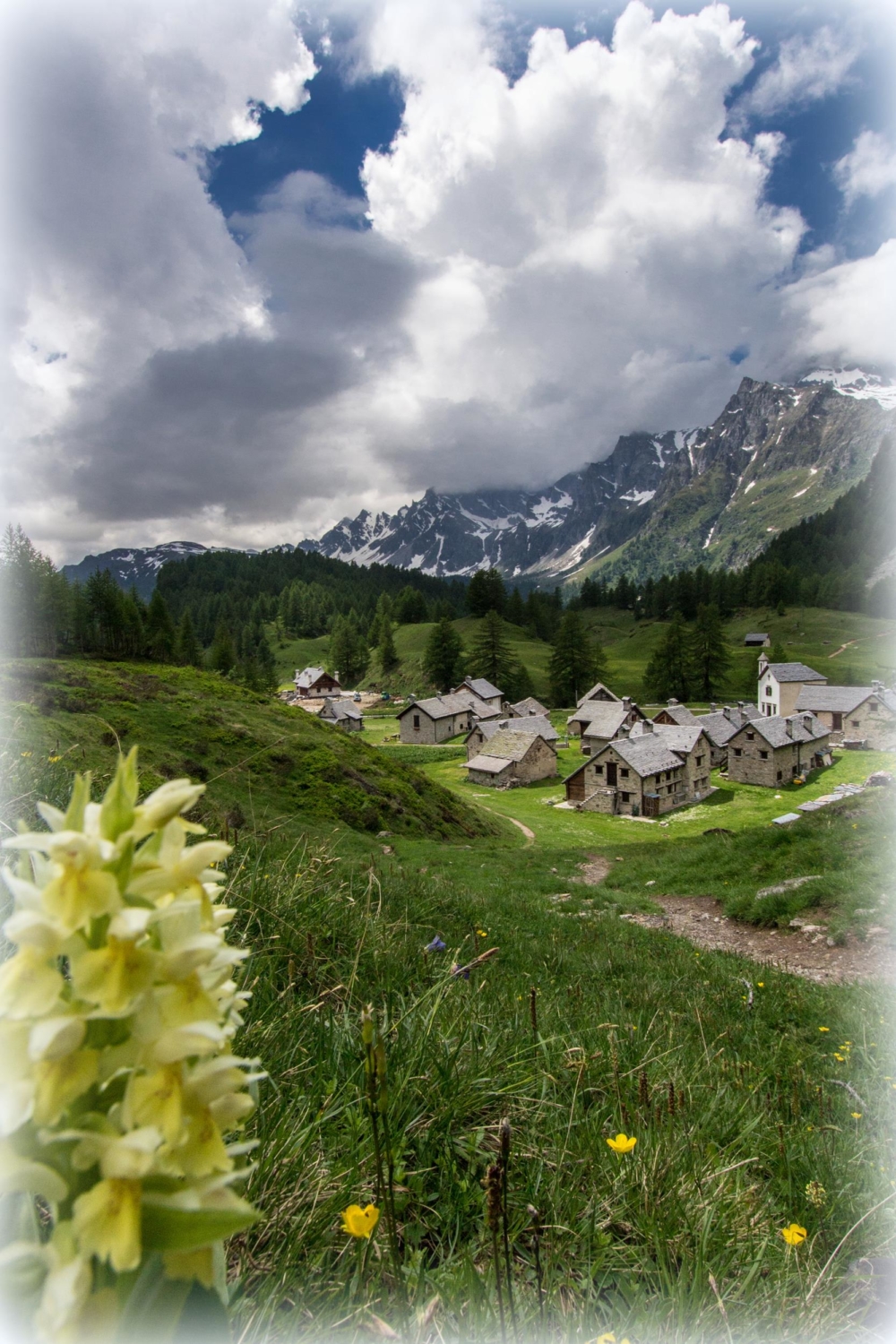
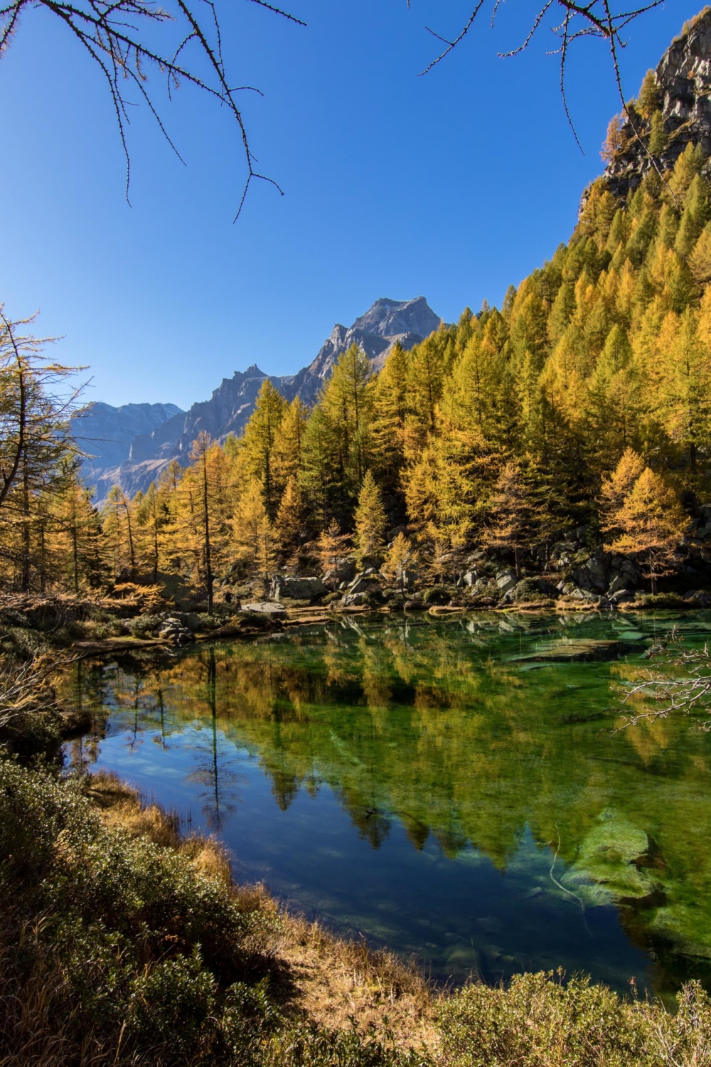
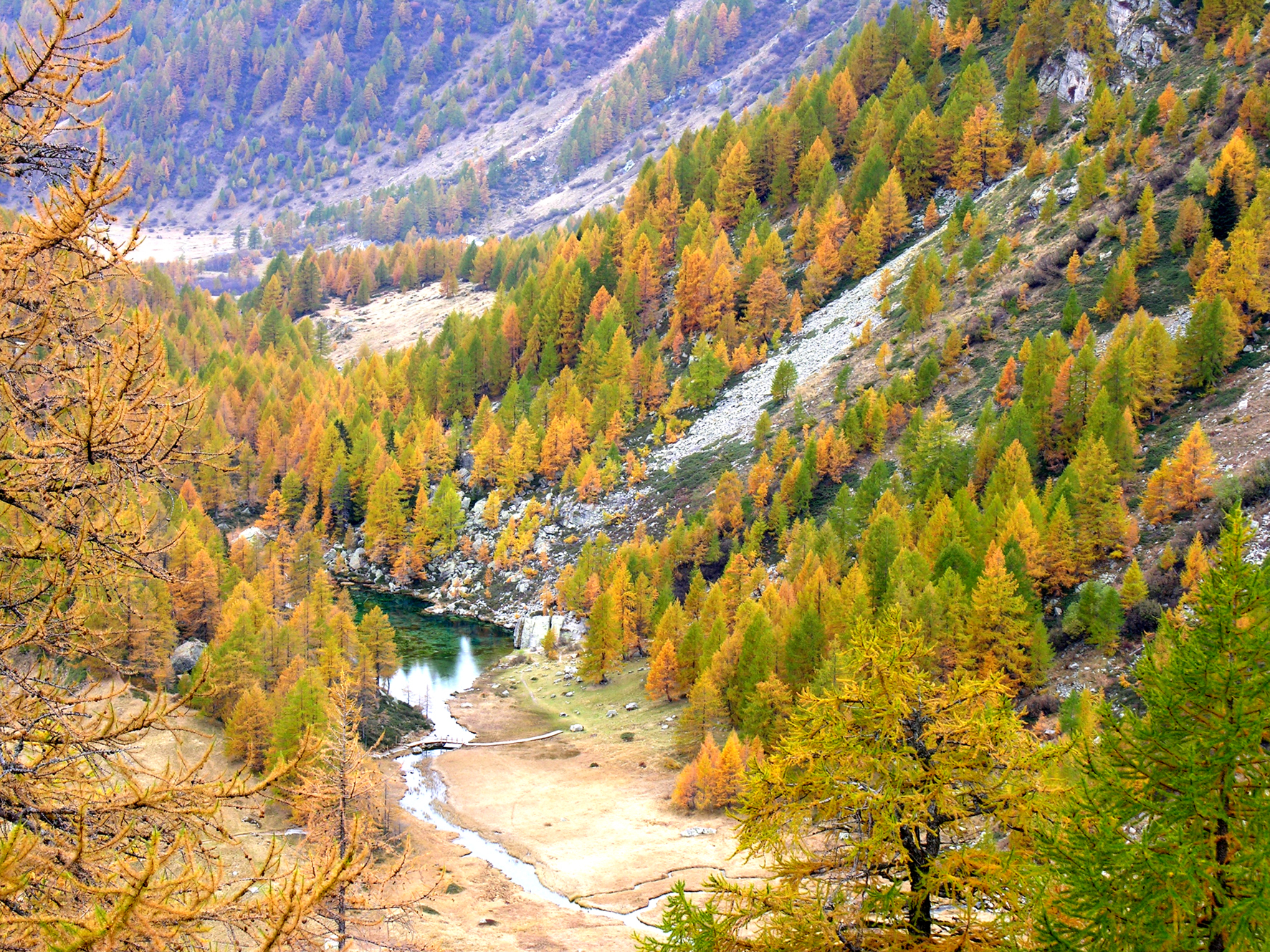
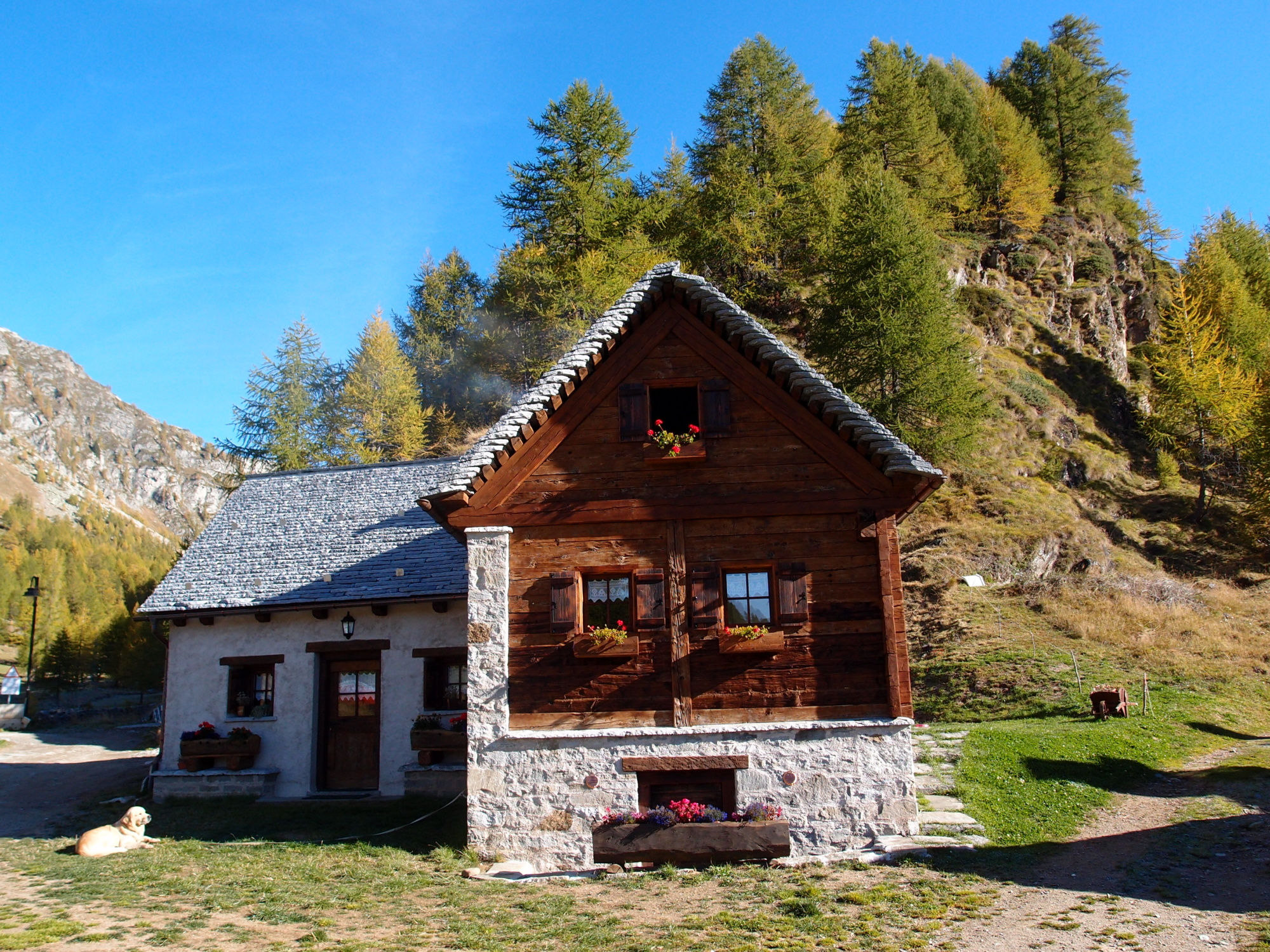
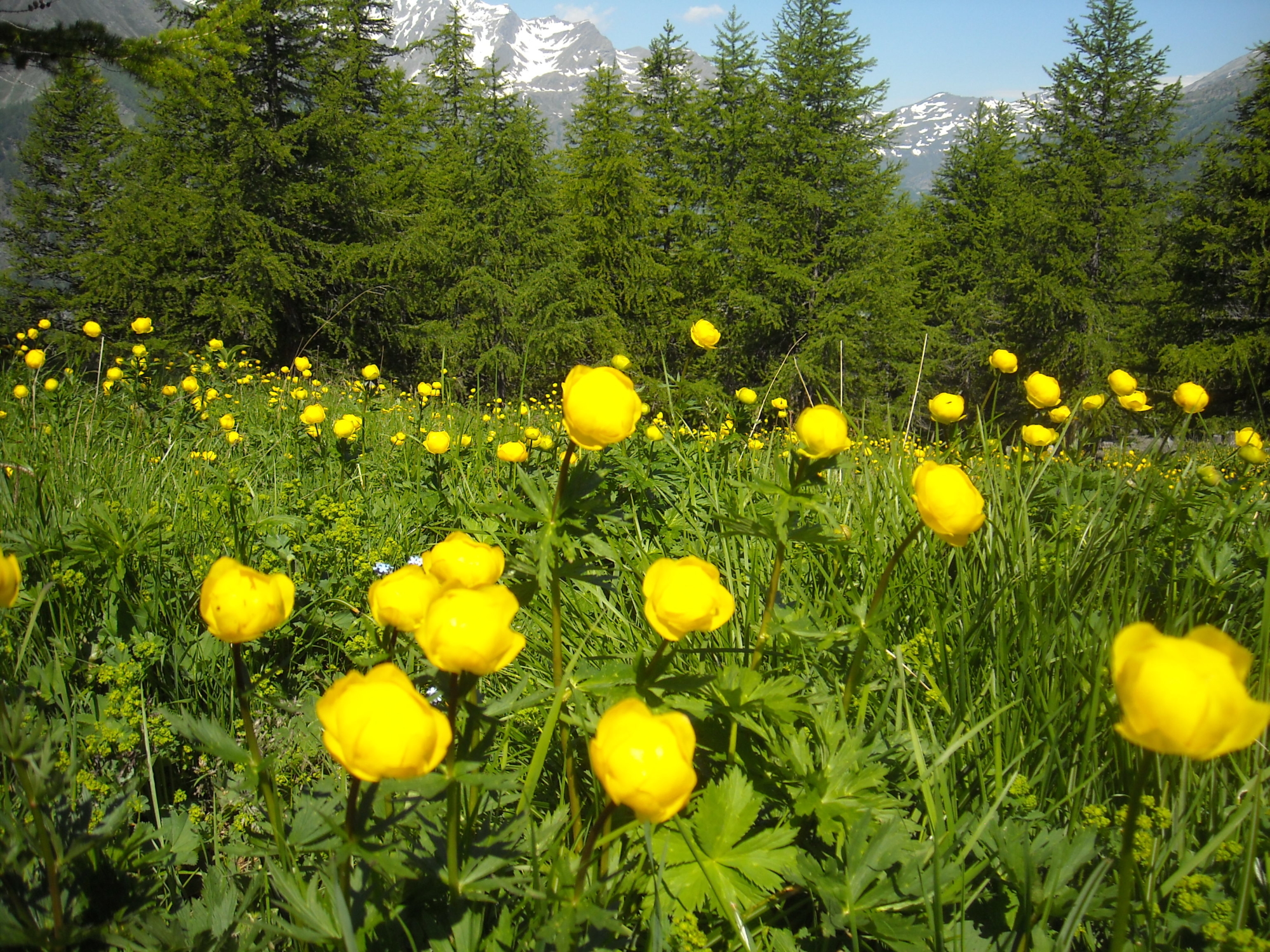
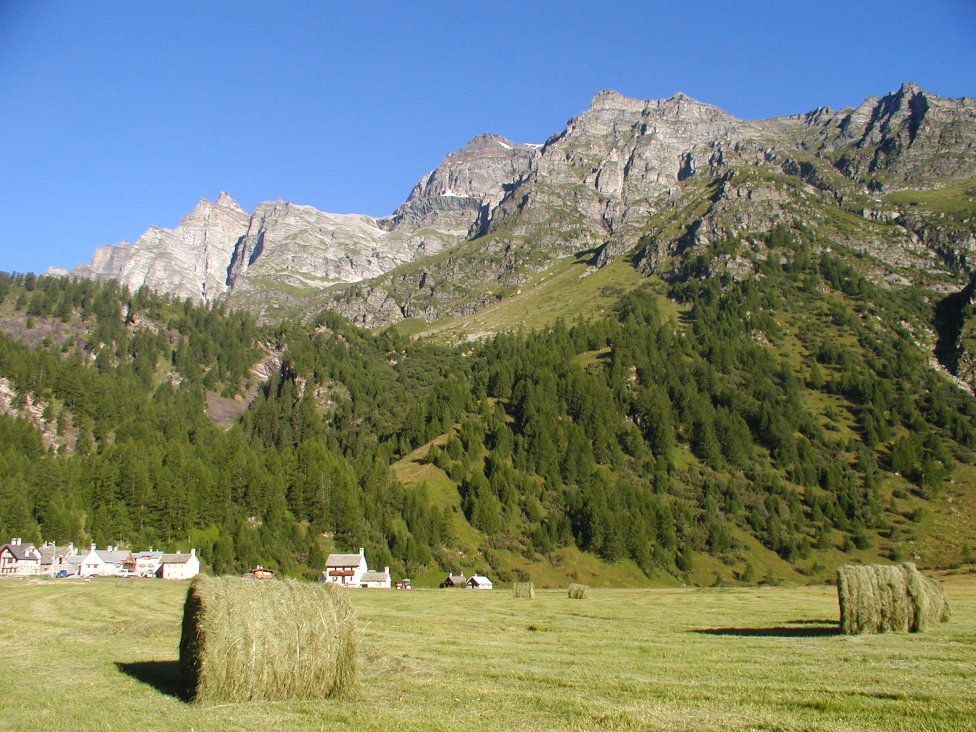
This short route allows you to fully enjoy the beauties of the Alpe Devero Natural Park. A first stretch of the route among streams, conifers and rhododendron meadows, the journey through history with the remains of the ancient road to the Arbola Pass, and the beauty of the settlement of Crampiolo, among carefully restored huts and the small oratory: these are the main ingredients of the route. On the way back, you’ll find other little gems: Witches’ Lake, the Walser pastures of Vallaro and Strevo with splendid views of the peaks of Cervandone and Cornera, the peat bogs, streams, flowering meadows, erratic boulders and the view of the Devero plain… One of the most popular and well-trodden hiking trails in the Ossola Valley.

Description

From the Devero car parks you reach the plain and take the path on the right which, after a wooden bridge, leads into a beautiful conifer forest. The route, the Via dell’Arbola, is marked H00 and, passing through Corte d’Ardui, it goes to Crampiolo. In the characteristic village of Crampiolo there are quality refreshment areas and refuges with beds. After passing the stone village, return to the Codelago dam and after crossing a small bridge turn left along the path that leads to Witches’ Lake. Go back a few dozen metres to walk along the path to Alpe Devero and then descend to Alpe Vallaro and then, past Alpe Stevo, you’ll reach the settlement of Canton and from here the starting point of the hike.

Useful info

Italian Alpine Club (CAI) site identification code

Sector H “Routes” – IH09

Useful info

Domodossola FS International Railway Station (from Bern and Milan).
From the BUS terminal, take the Formazza Valley bus route, getting off in Baceno.
From Baceno, take the Prontobus (tel. +39 349 0796016) to Alpe Devero.
By car, drive straight to the (paid) car parks at Alpe Devero.
Contact details: Municipality of Baceno
CAI contact details: Formazza Section

Difficulty

Easy.

Lenght

4,5 km

Ascent

166 m

Total duration

1 hr 25 min

Recommended equipment

Walking boots.

Signage

H00 – H98a

Best time of year

From June to October

Reference map(s)

Map no. 10 scale 1:25,000 of the Geo4Map/CAI
Digital maps on the following apps: ViewRanger – Avenza Maps

Historic, artistic and cultural value
Value of traditional and peasant life
Natural value
Ideal for
Everybody
You will discover
Nature
Sport
Guide to itineraries and useful info
Ideal for
Everybody
You will discover
Nature
Sport
Guide to itineraries and useful info
Choose your
mountain guide
IAT di Crodo
Via Bagni, 20 28862 Crodo (VB) See map
Choose your
tour or nature guide

You might also be interested in...