Hiking – Crodo and the Devil’s Wall
Difficulty
Easy
Period
Spring / Summer / Autumn

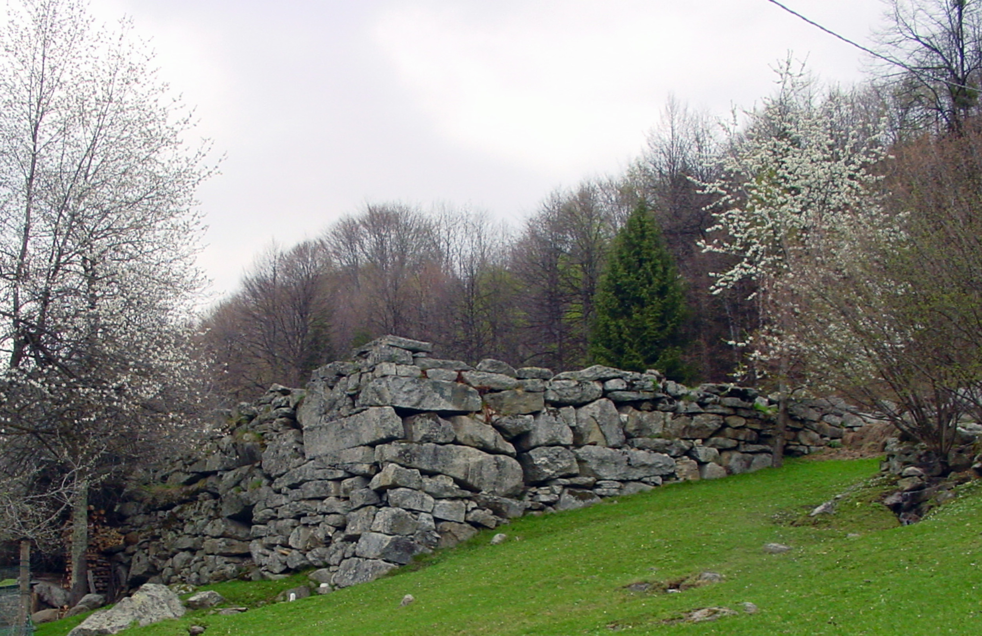
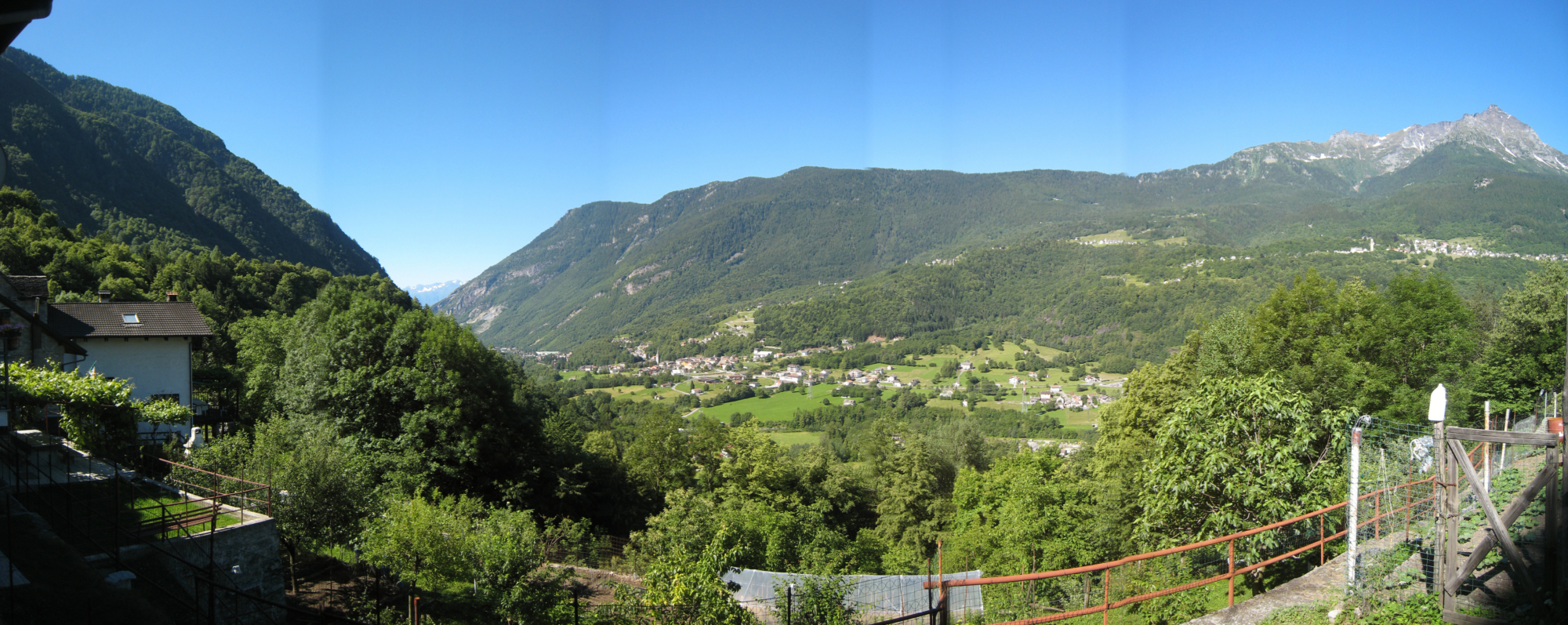
The Antigorio Valley, with this route, offers a unique picture of the Ossola: this portion of the valley is also characterised by wide pastures, born on large moraine deposits that have given life to extensive plateaus. Terraces built in the past to cultivate these mountains are very common in the Ossola Valley, but here there is a place protected by rocky walls full of mystery. It seems, thanks to the recent discovery of rock paintings dating back to a historical period between 5,000 and 1,200 B.C., that the first inhabitants of the territory settled in the area of the Devil’s Wall.

Description

At the arrival of the bus in Crodo, head towards the Antigoriana Dairy, located on the main road, passing it and coming to a bridge. Cross over and on the left take the path that leads to Maglioggio. Once in this pretty hamlet of Crodo (where you can admire the centuries-old chestnut tree, l’Arbul), turn left towards Cruppo, crossing a characteristic arched bridge. From Cruppo begins the mule track that leads to Dugno and crosses the road to Alpe Aleccio, along with a group of renovated houses. Follow the paved road to Crego, passing the chalets of Le Quartine, and continue along the road as far as Arvenolo, where it’s impossible not to notice the megalithic construction known as the Devil’s Wall. Continue on the road to Crego, where there’s the splendid Sanctuary of Don Lorenzo Dresco, with its characteristic external colonnade. To the left of the church, take the path that descends and joins the pleasant mule track that climbs up from Verampio. Shortly after, turn left onto a canal that leads to the loading basin of the Verampio hydroelectric power station. Cross the basin and continue along the comfortable G36 path until you reach Cruppo, Maglioggio and from here Crodo.

Useful info

Italian Alpine Club (CAI) site identification code

Sector G “Routes” – IG09

Useful info

Domodossola FS International Railway Station (from Bern and Milan).
From the BUS terminal, take the Formazza Valley bus route, getting off in Crodo.
Contact details: Municipality of Crodo
CAI contact details: Formazza Section

Difficulty

Easy. The route is not particularly difficult. Care must be taken in the vicinity of the loading tank of the Verampio hydroelectric plant.

Lenght

12 km

Ascent

508 m

Total duration

3 hrs 45 min

Recommended equipment

Walking boots.

Signage

G04 – G38 – G06 – G36

Reference map(s)

Map no. 12 scale 1:25,000 of the Geo4Map/CAI
Digital maps on the following apps: ViewRanger – Avenza Maps

Historic, artistic and cultural value
Value of traditional and peasant life
Ideal for
Everybody
You will discover
Nature
Sport
Guide to itineraries and useful info
Ideal for
Everybody
You will discover
Nature
Sport
Guide to itineraries and useful info
Choose your
mountain guide
IAT di Crodo
Via Bagni, 20 28862 Crodo (VB) See map
Choose your
tour or nature guide

You might also be interested in...