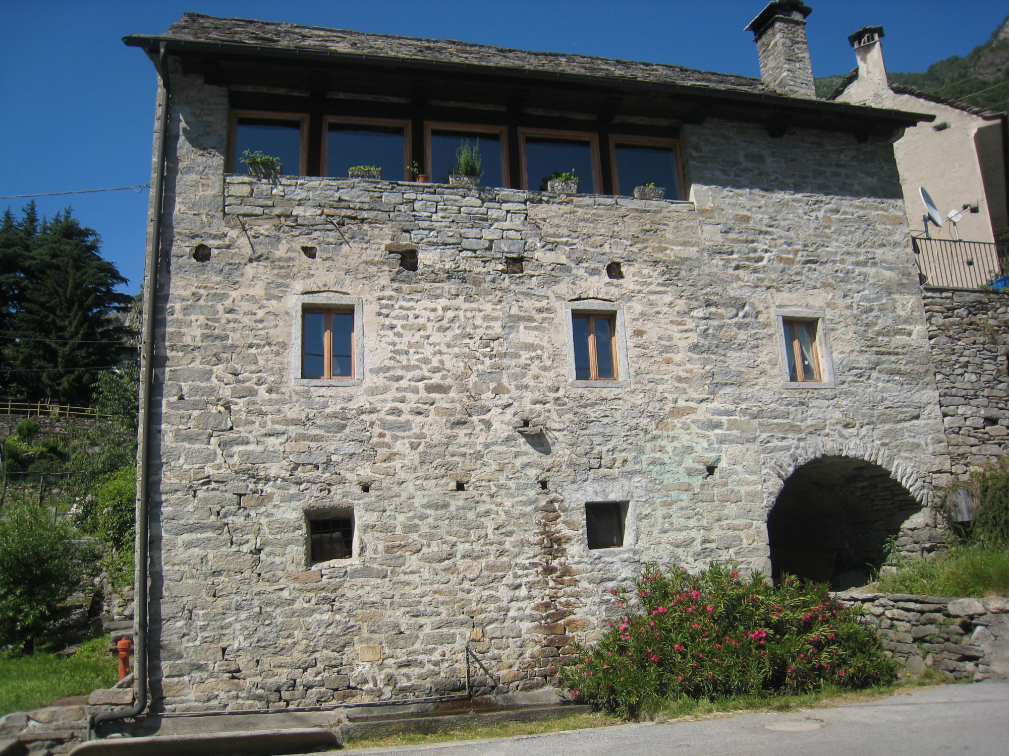
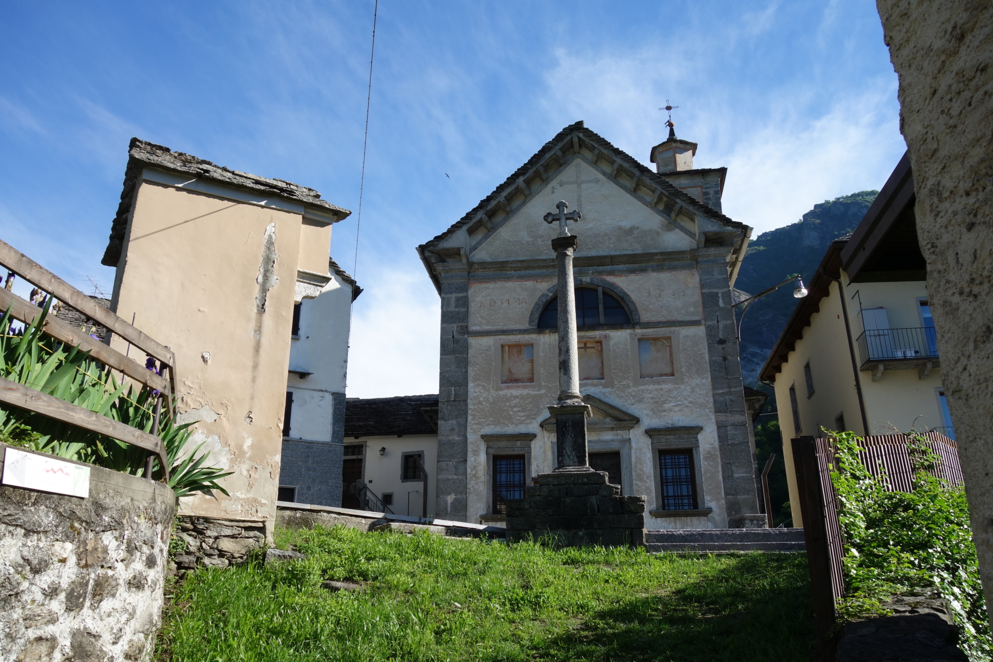
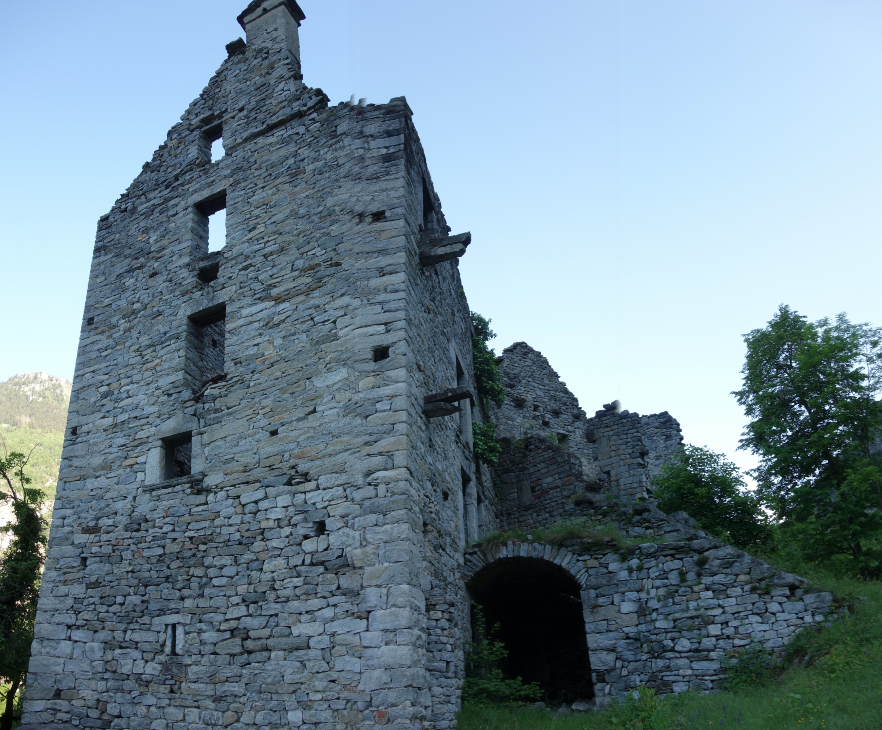
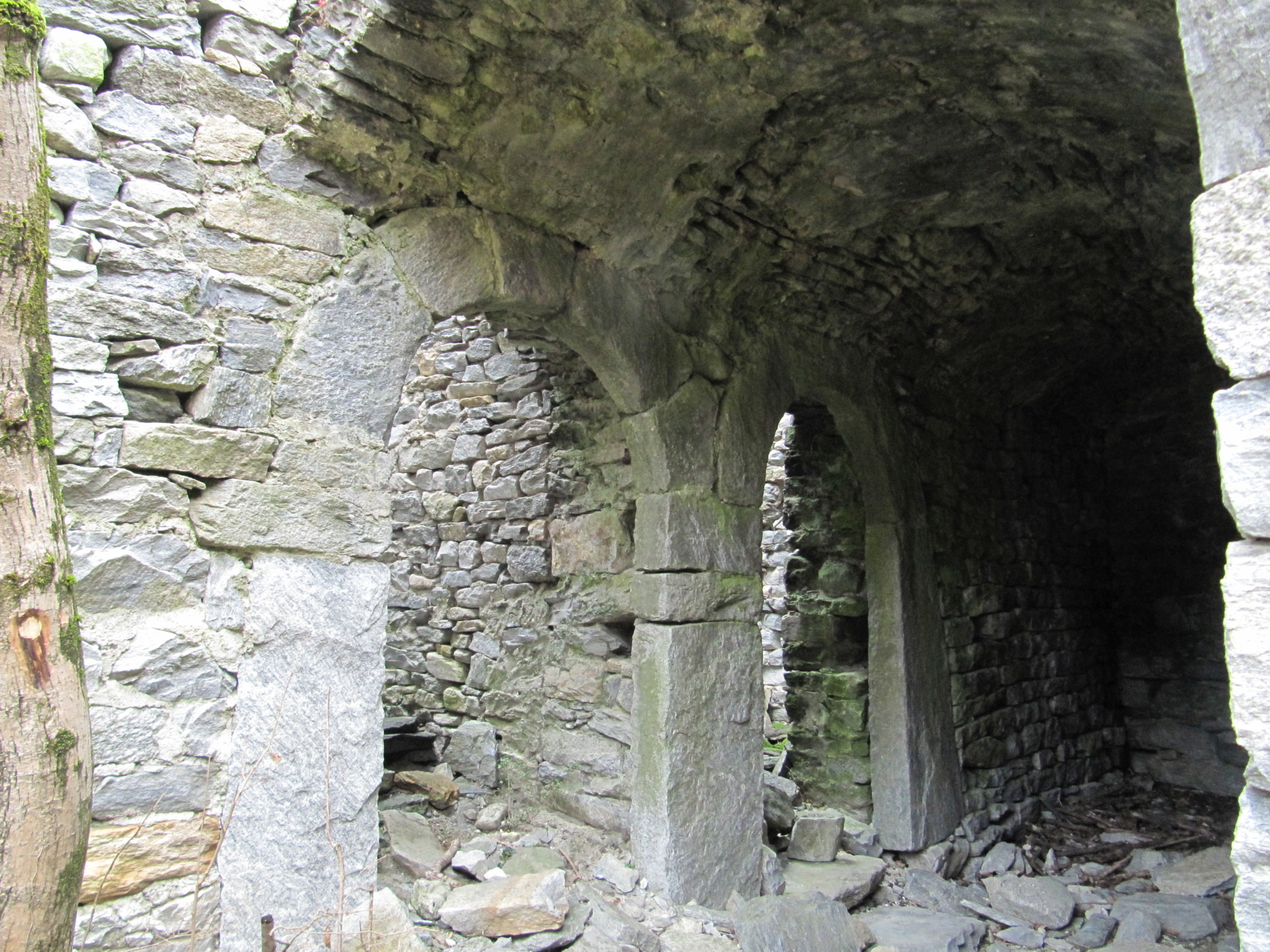
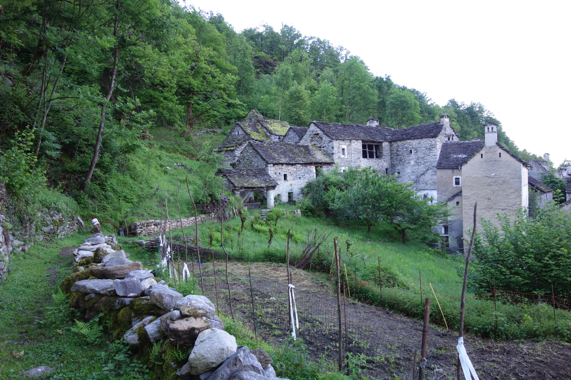
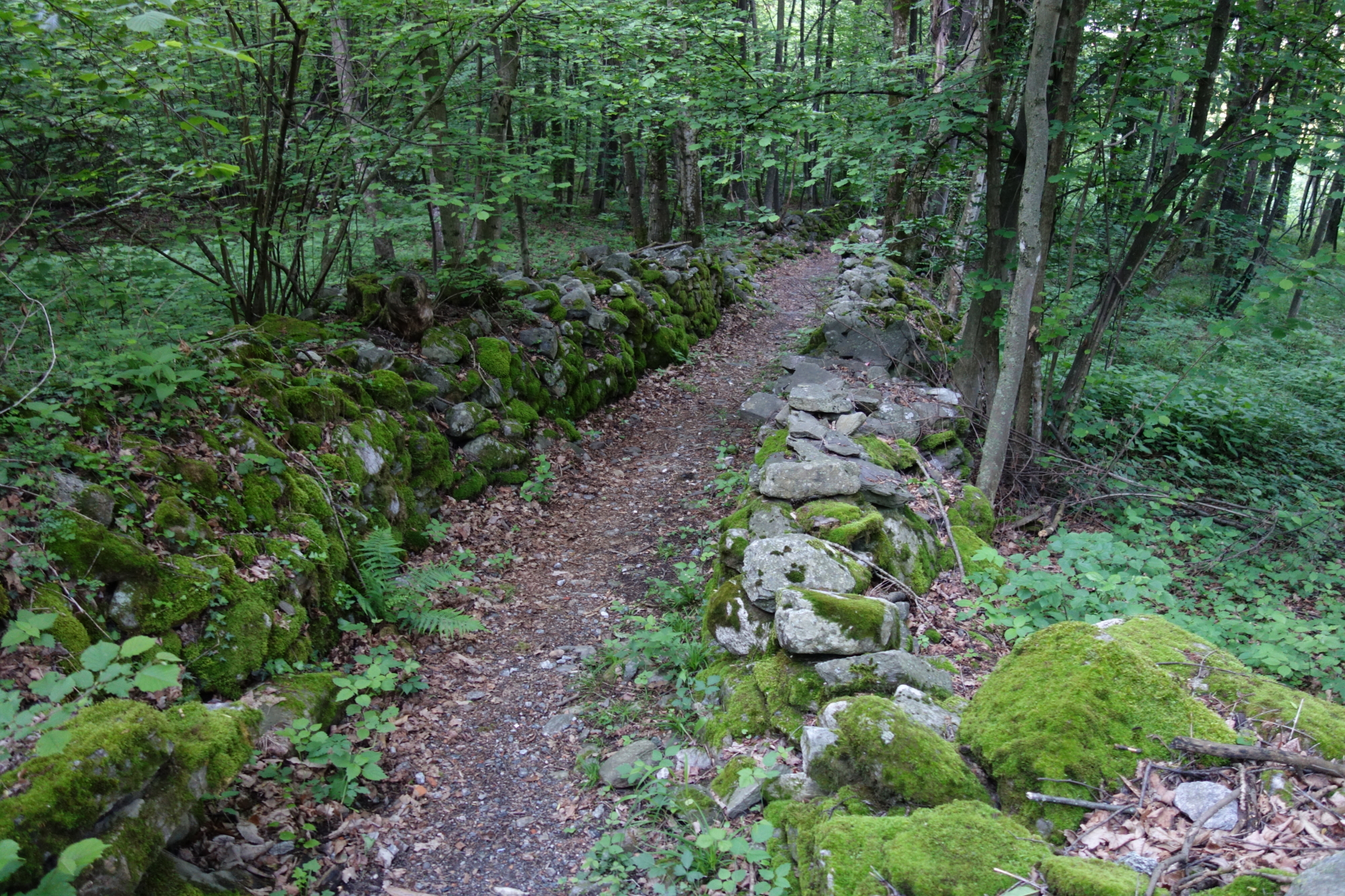
A small bulwark to protect the “Via del Gries”, with the 13th-century signal tower and a stronghold from the 15th to 16th century built by descendants of the De Rodis Baceno family. The castle of Veglio, also known as “Castello dei Picchi” (Picchi Castle), named after its last inhabitants, is a symbol of this small and ancient village. The name derives from the Latin vigilia, a place of vigilance. Veglio was once one of the most inhabited hamlets of Montecrestese and has a residential area, the result of important renovation work in recent years, with splendid examples of rural architecture and stone buildings dating back to the 13th and 14th centuries.
Description
At the arrival of the bus in Pontemaglio, take the mule track that leads to the centre of the village, crossing the splendid arched bridge that is still perfectly preserved. From the oratory, continue along the G00 del Gries route and after passing a chapel leave the G00 route on the left; after a few metres take the path that leads to the “Castello dei Picchi”. From the castle, the route continues on the level to the ancient village of Veglio. Cross it to the oratory, slightly set apart from the town, from where a road begins connecting Veglio to Montecrestese. Follow a short stretch of trail, go past the Scarpia Chapel and at a hut take a pleasant path on a mule track that leads to the junction for Pontemaglio. Along a large mule track, marked G00a, which is the variant of the Gries road, you finally reach the starting point.
Useful info
Italian Alpine Club (CAI) site identification code
Sector G “Routes” – IG01
Useful info
Domodossola FS International Railway Station (from Bern and Milan).
From the BUS terminal, take the Formazza Valley bus route, getting off in Pontemaglio.
Contact details: Municipalities of Crevoladossola and Montecrestese
CAI contact details: Domodossola Section
Difficulty
Easy. The route is not particularly difficult. You just need to be a bit careful in the first uphill section, which is not very well trodden.
Lenght
4,5 km
Ascent
197 m
Total duration
1 hr 30 min
Recommended equipment
Walking boots.
Signage
G00a
Reference map(s)
Map no. 12 scale 1:25,000 of the Geo4Map/CAI
Digital maps on the following apps: ViewRanger – Avenza Maps