In 1553, Anzasca Valley was visited by nobleman Joachim de Annono, an official of the Spanish governor of Milan and a man of power, who came to verify whether the inhabitants of the valley were able to pay the exorbitant Mensuale tax. He remained in Anzasca Valley for 14 days and on his return drew up a precise and documented report: it’s the first description of the Strà Granda that links Piedimulera to Macugnaga and then climbs up the mountain ridge of Monte Moro and leads into the Valle di Saas.
The Strà Granda is still passable today, following in Joachim de Annono’s footsteps 400 years later. The valley’s history has been passed down through this worn pavement. Not Great History, but the humble and hidden history of smugglers going to Switzerland or of valley dwellers who went down to Vogogna market to get their supplies of grain. The shiny pavement of each bend has witnessed furious village wars and the passage of loads of gold descending to the cities.
Walking on the Strà Granda in Anzasca Valley means travelling back in time: you’ll find oratories, recesses in the walls to load mules, ancient coats of arms, community ovens, community presses, mills and millstones.
Along the road that goes up to Macugnaga, between the towns of Vanzone and San Carlo, you can see a stream that descends along rust-coloured rocks, called Crotto Rosso. The water comes directly from the Cani mines, already in existence at the beginning of the 19th century and now the object of rediscovery and enhancement.
The history of the Anzasca Valley is inextricably linked to mineral resources: its gold mines (the “Cani” mines in Vanzone and Macugnaga) were exploited from the Middle Ages until the 1900s. In Borca di Macugnaga you can visit the Guia gold mine, (the only example of a mining museum in Italy.
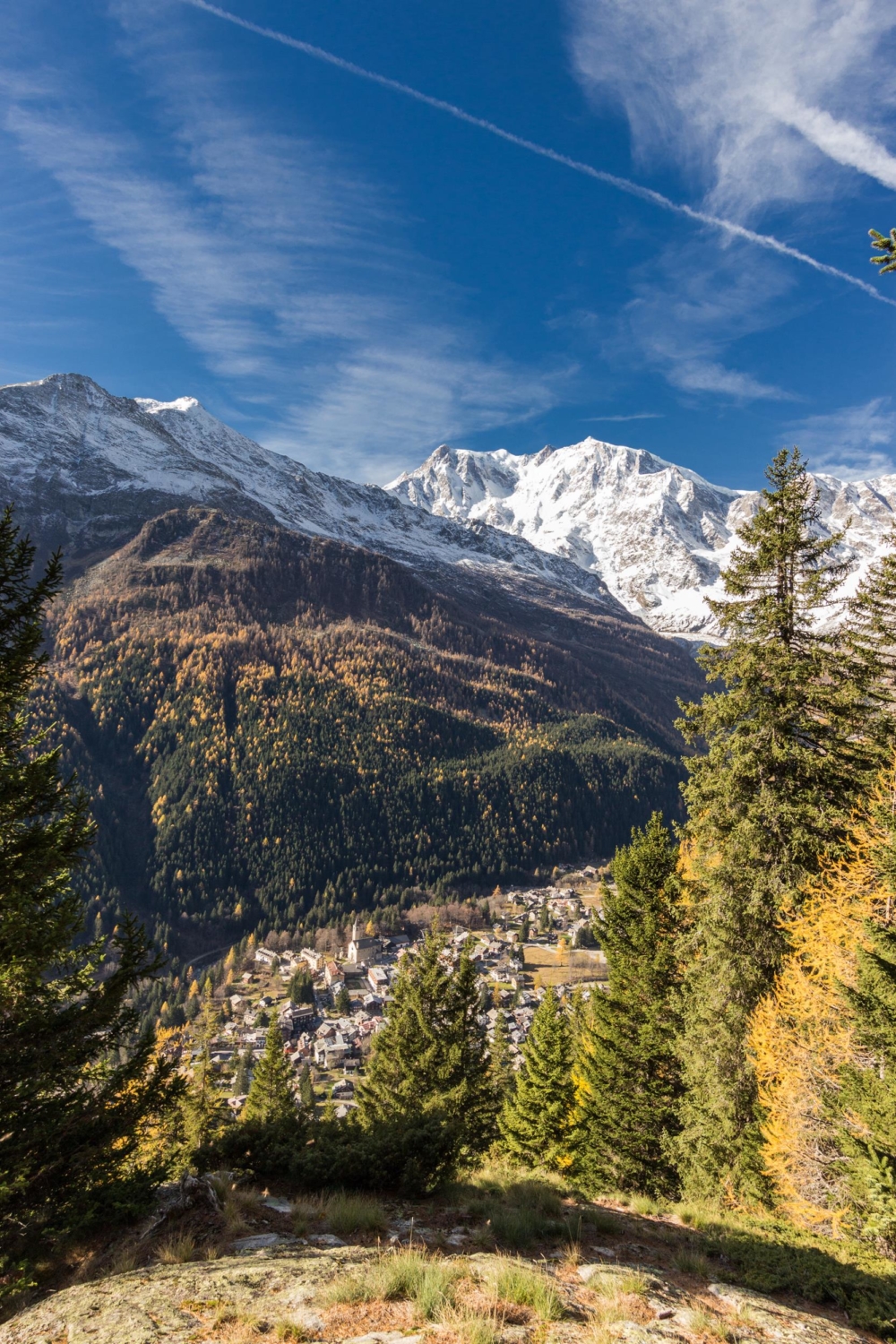
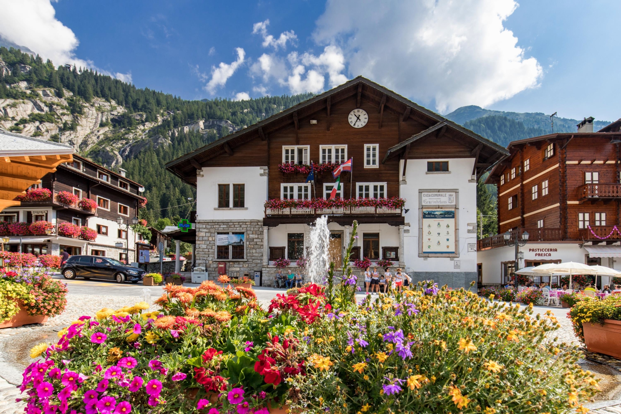
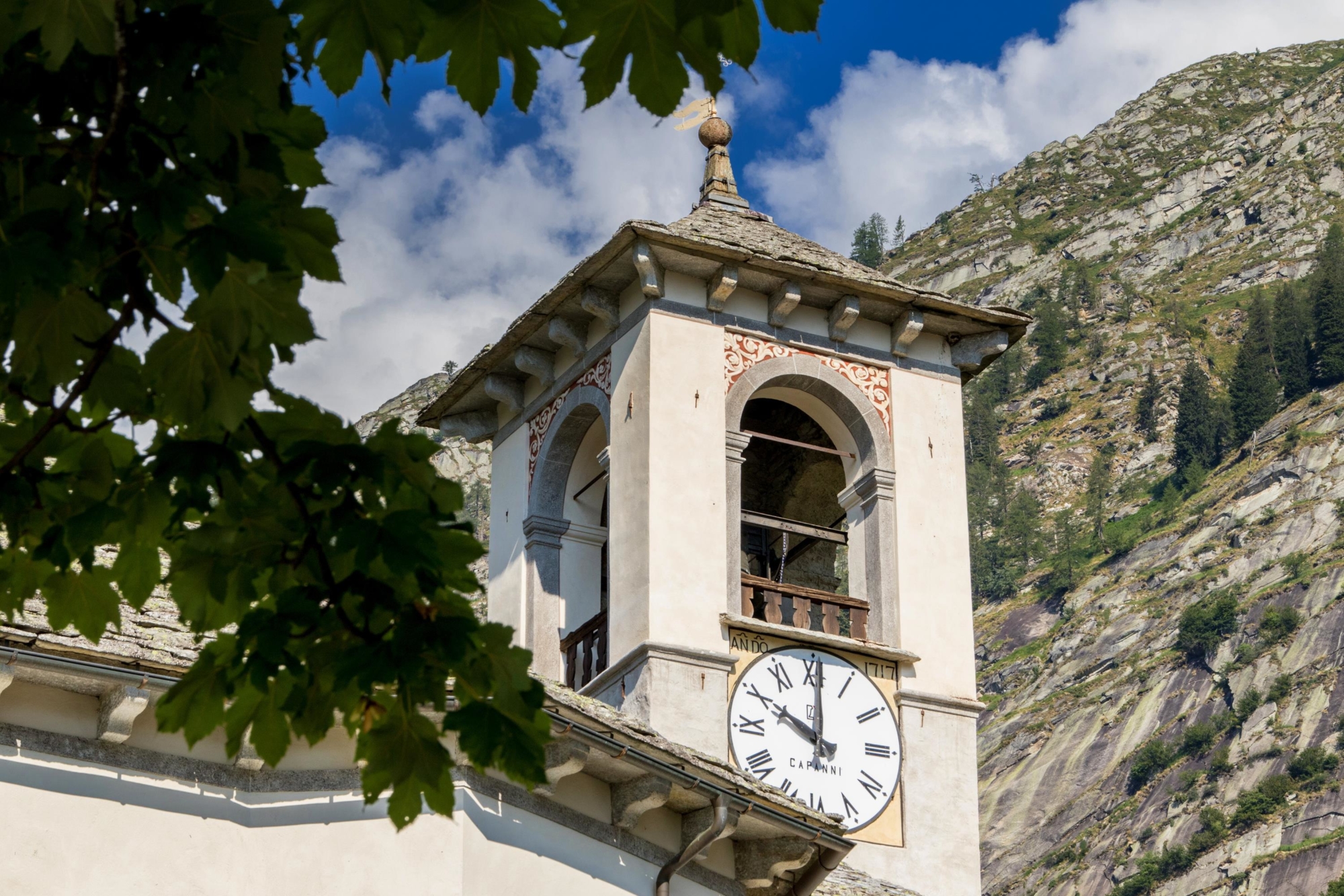
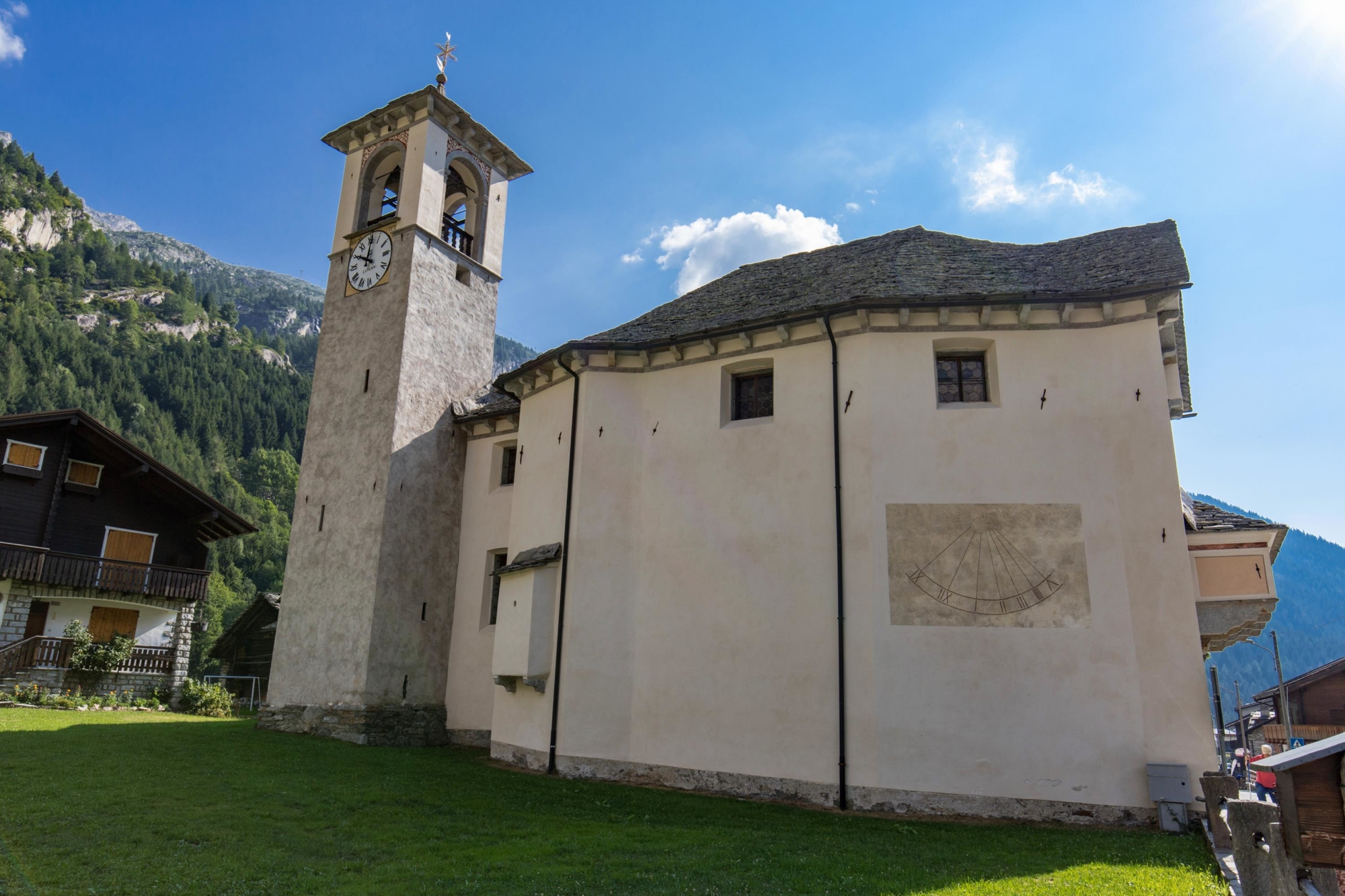
In Macugnaga, a Walser village where some great alpine excursions start, you can visit three unmissable museums and the entire old town has the air a past full of unique charm.
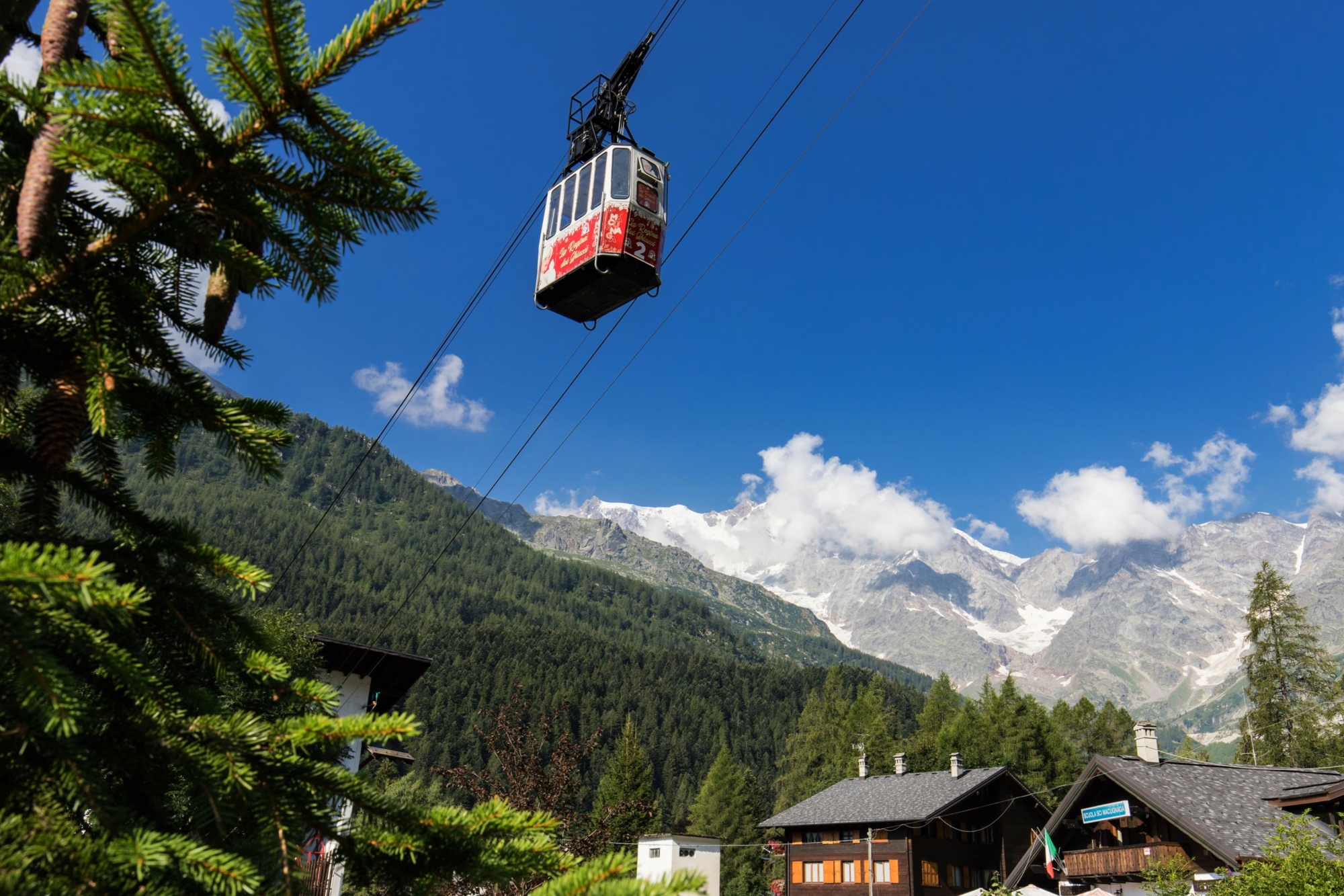
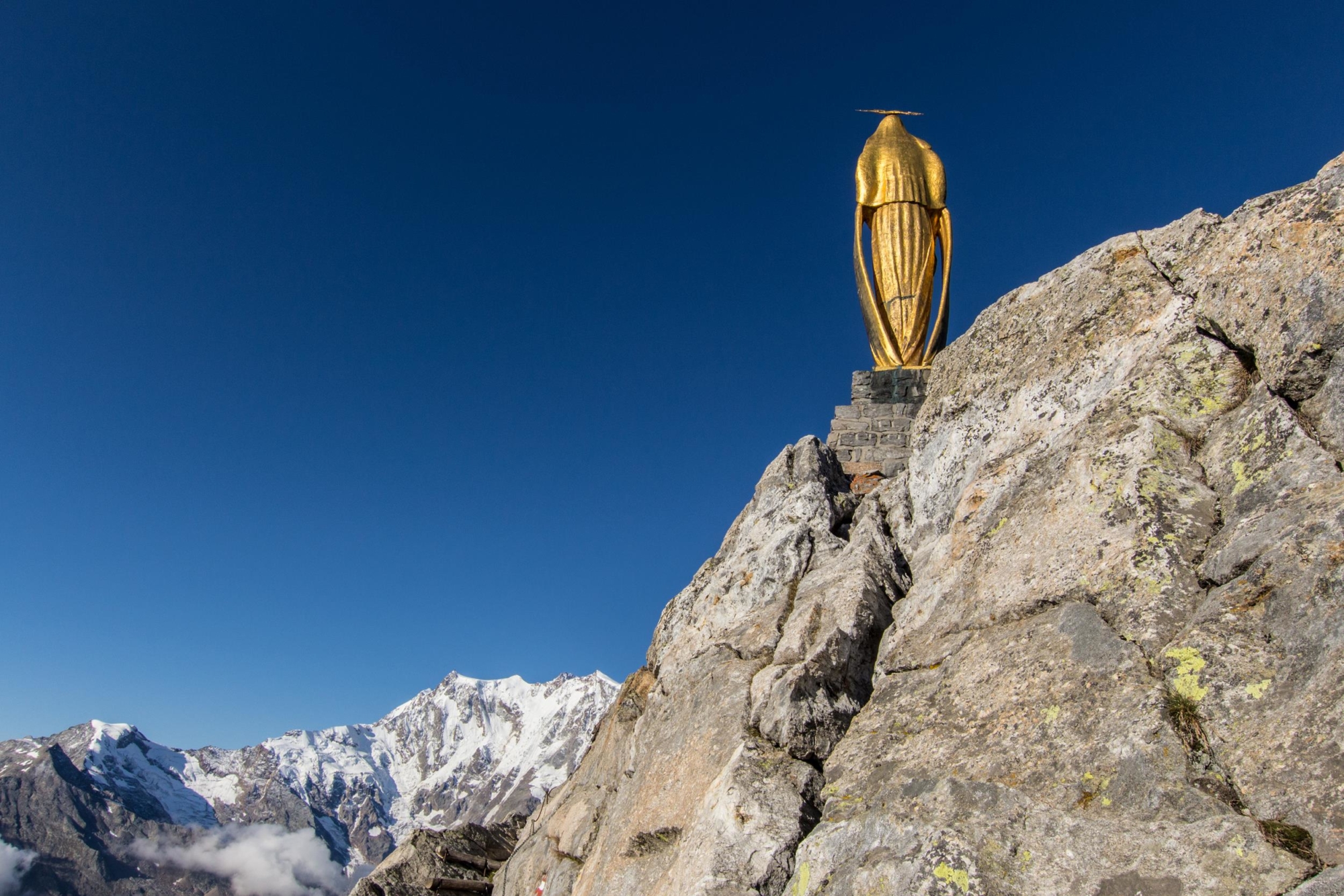
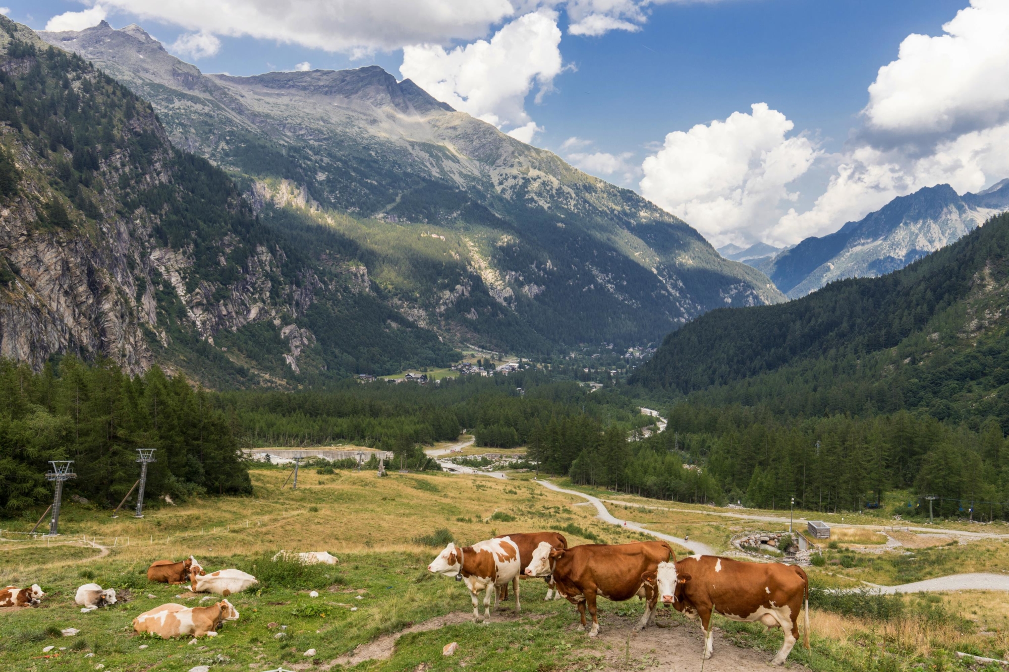
The Strà Granda in Anzasca Valley allows you to get to know the alpine civilisations that have lived in these mountains, to admire the grandeur of the east face of Monte Rosa, three thousand metres (9843 ft) of rock and ice; the only wall of Himalayan dimensions in the Alps. A unique valley, with two cultures, the Walser and the Romantic, which retains unspoilt nature and an ancient harmony between man and environment.
DISCOVER THE OTHER STAGES OF THE STRÀ GRANDA:
Stage 1 – From Piedimulera to Pontegrande
Stage 2 – From Pontegrande to Macugnaga
Stage 4 – From the Monte Moro Pass to Saas Almagell