Description
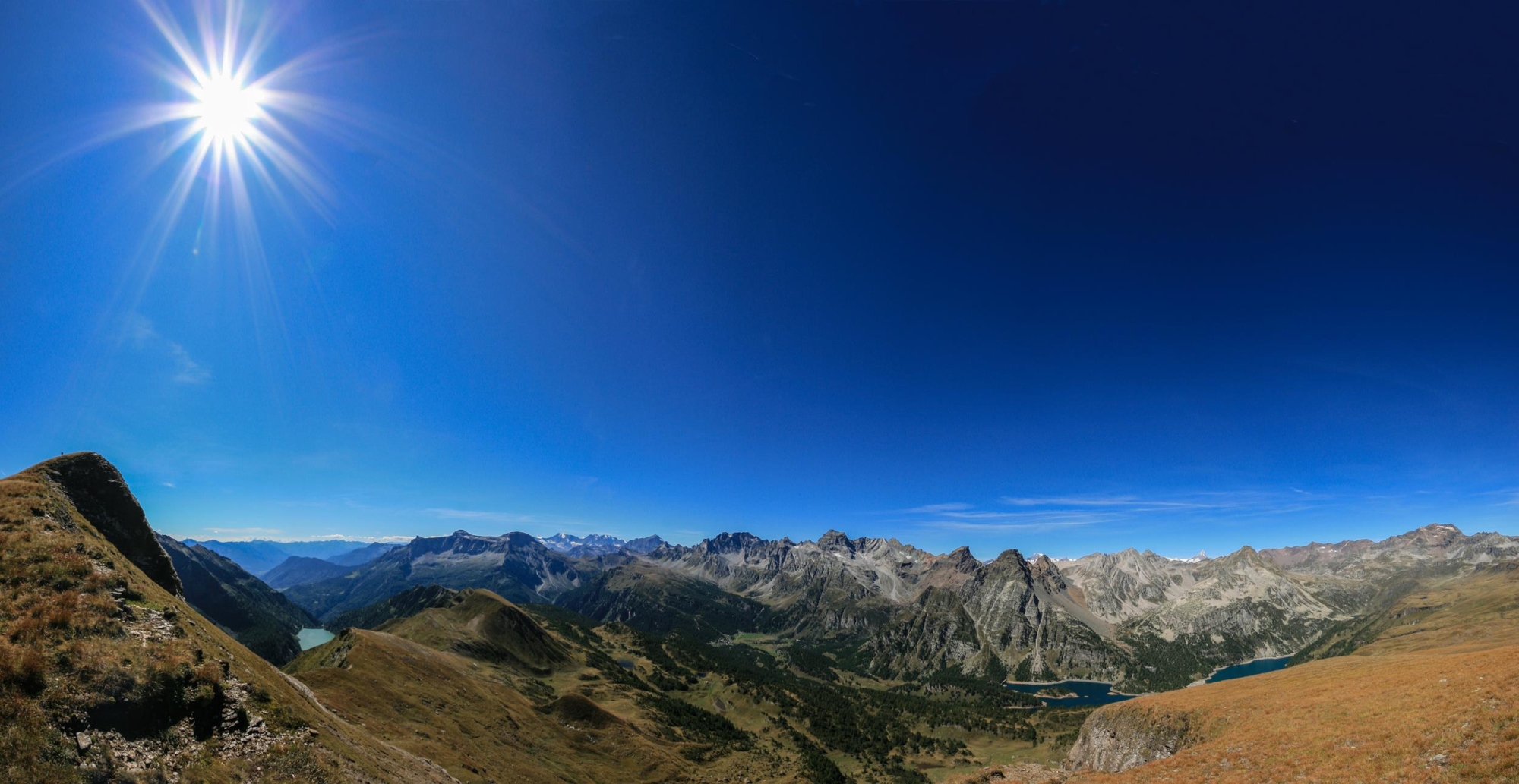
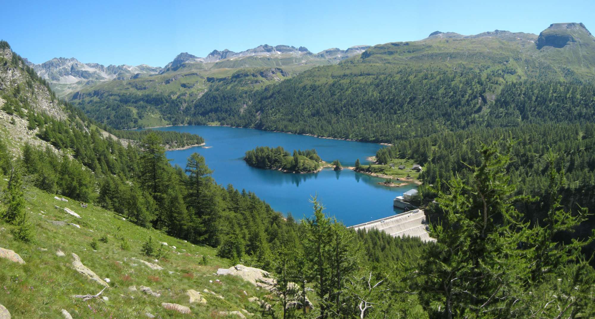
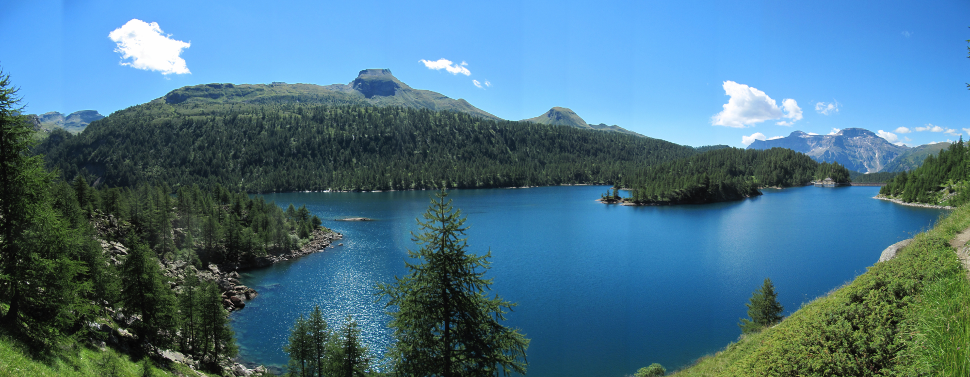
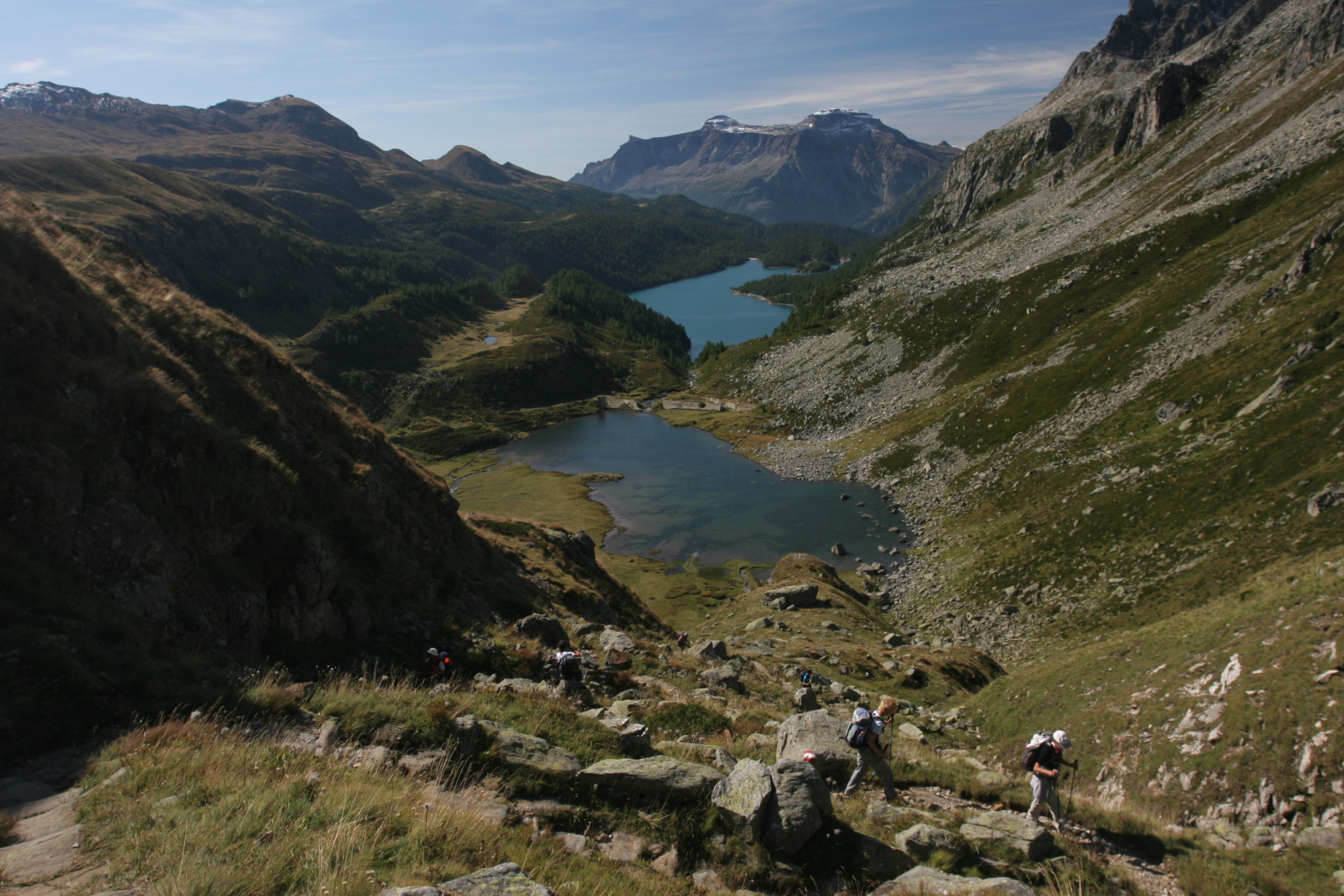
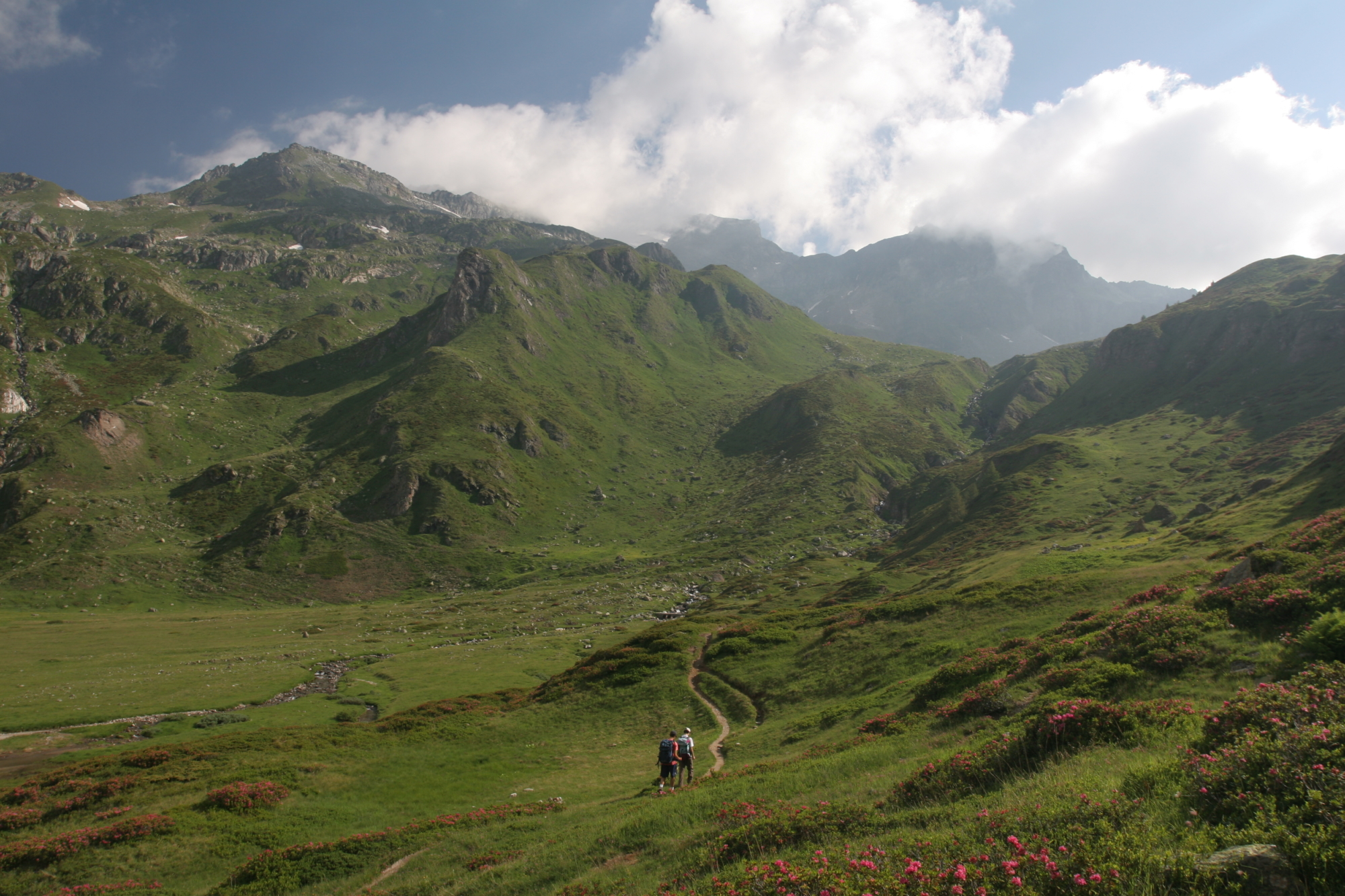
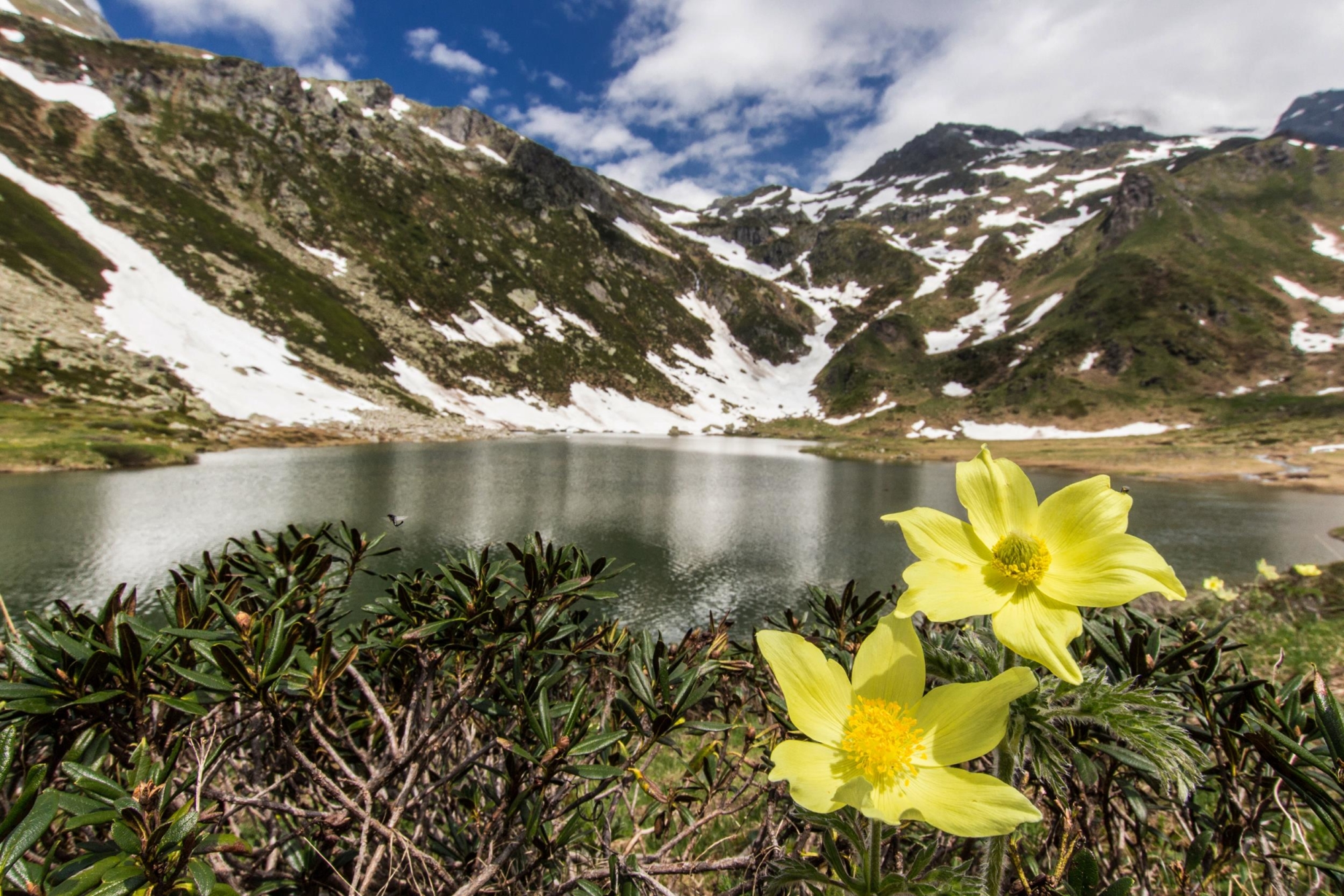
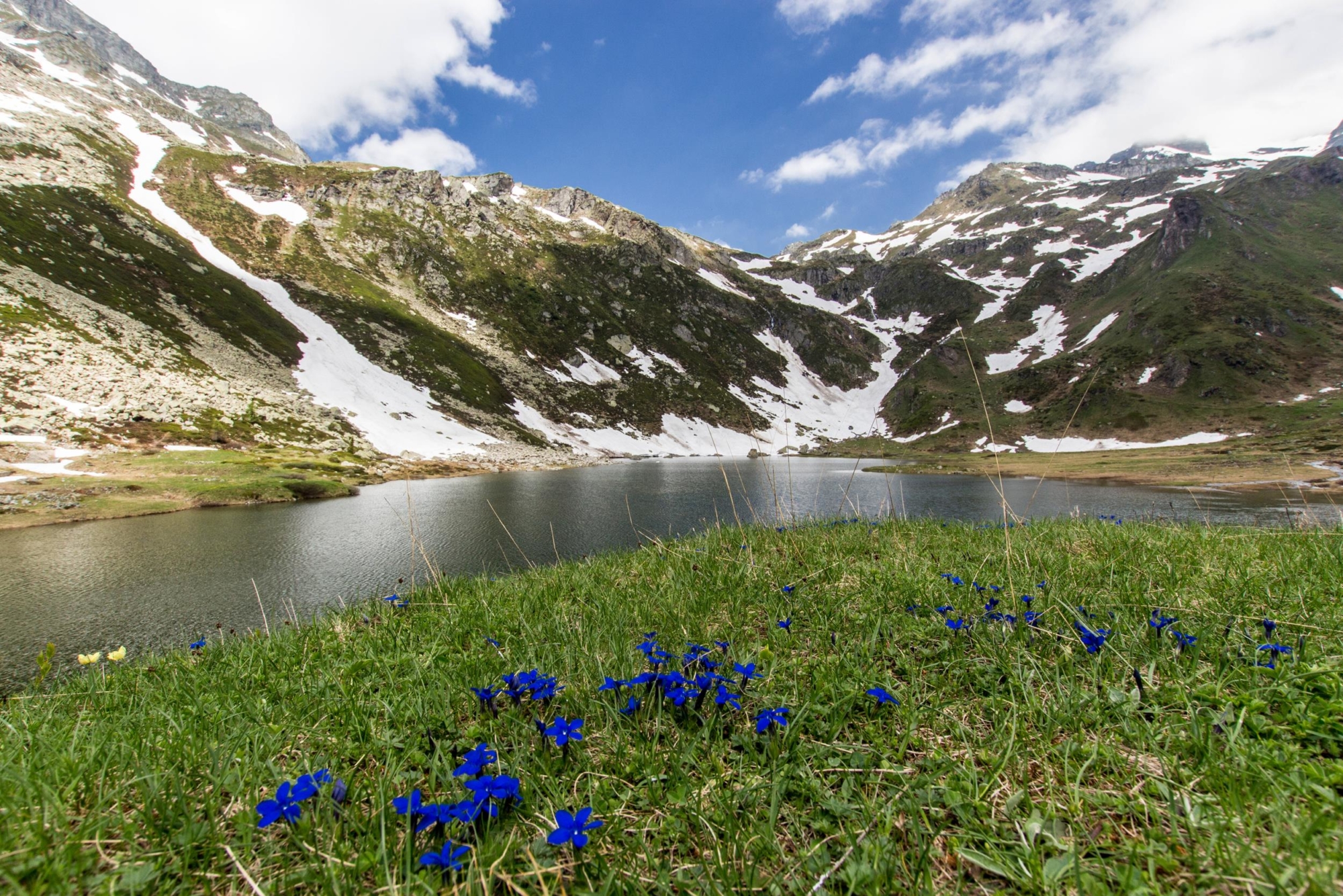
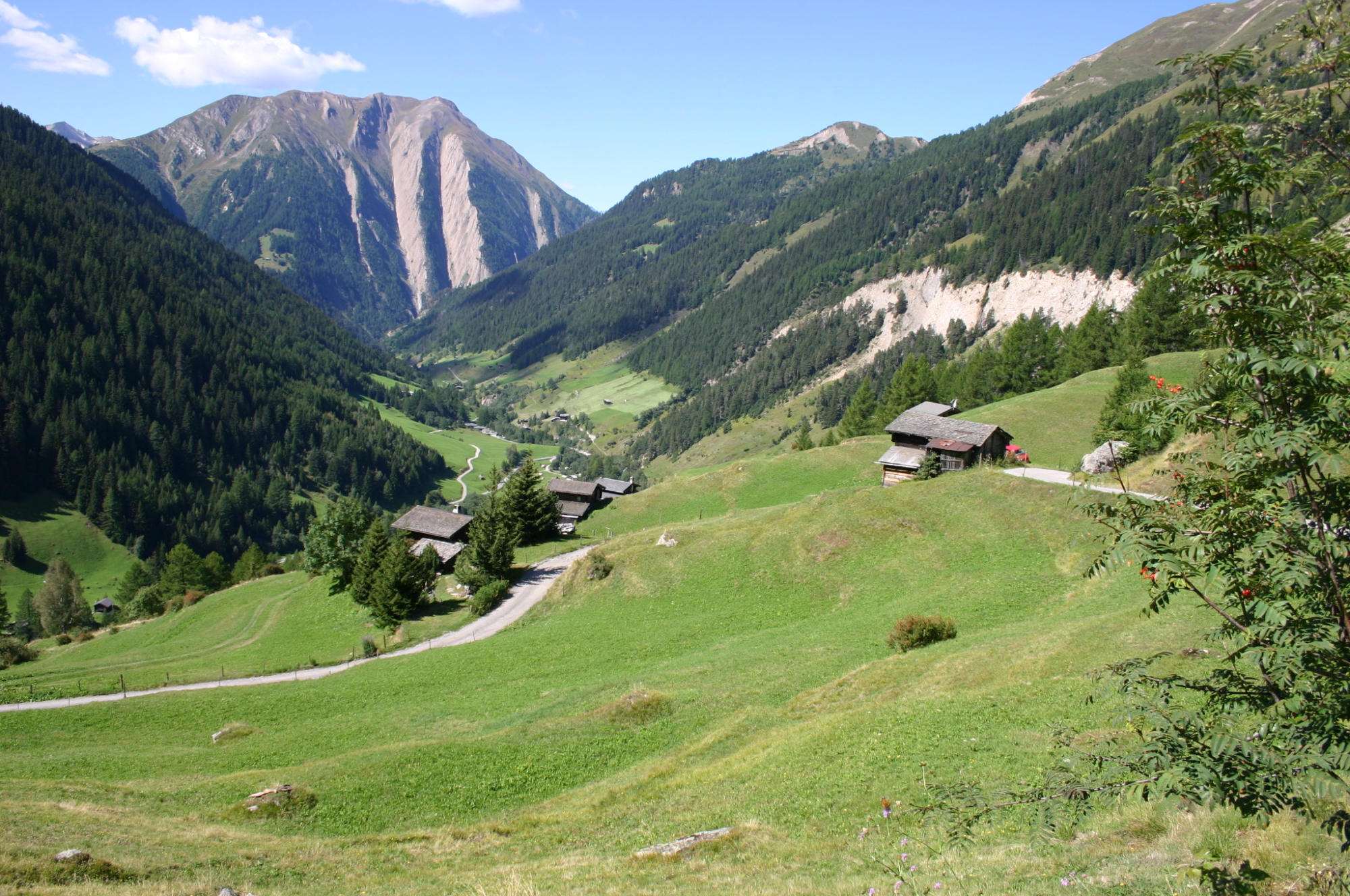
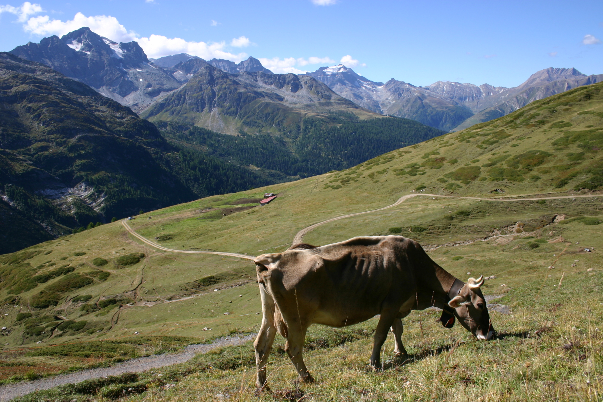
The climb from the Devero Valley to the Albrun Pass (Bocchetta d’Arbola) is characterised by a continuous succession of lakes, centuries-old forests and lush, flowering meadows. In the proximity of the pass, sections of the old mule track accompany hikers through the magical world of the Valle di Binn. Grasslands, small Walser settlements, unique rocks and minerals and mountain pastures to be discovered at walking pace. The village of Binn with its old bridge and beautiful old houses surrounding the historic hotel is a small Alpine gem that’s worth a visit.
DISCOVER THE OTHER STAGE OF THE VIA DELL’ARBOLA:
Stage 2 – From Baceno to Alpe Crampiolo
Useful info
Italian Alpine Club (CAI) site identification code
Sector M “Historic Routes” H00
Places visited
Alpe Crampiolo (1772 m), Lago di Devero (Codelago), Lago di Pianboglio, Bocchetta d’Arbola, Binntalhütte, Freichi, Brunnebiel, Fäld, Binn
Points of interest along the route
- Lago delle Streghe (Witches’ Lake)
- Traditional architecture in Crampiolo
- Lago di Devero (Codelago)
- Lago di Pianboglio
- Stretches of the ancient mule track to the Albrun Pass
- Blatt and Oxefeld peat bogs
- Walser architecture
- Mineral museum in Imfeld
- Binn arched bridge
- Graseser-Andeenmatten regional museum in Binn
- Binn Valley Landscape Park
Accomodation
Hotel and other accommodation in Binn. You can go back to Domodossola by bus from Binn to Fisch, then taking the train to Briga and then to Domodossola.
Useful info
Transport: Domodossola FS International Railway Station (from Bern and Milan). From the BUS terminal, take the Valle Formazza bus route, getting off in Baceno. Continue by Prontobus (you have to call it) from Baceno to Alpe Devero (for info, see www.comune.baceno.vb.it)
Contact details: Municipality of Baceno
Protected Areas of Ossola Management Body
Parco Binntal Body
CAI contact details: Formazza Section
Refreshment areas: Bintalhutte and various restaurants in Binn
Difficulty
Medium difficulty (E). You need to be careful in the middle stretch of Lake Devero, between Alpe Larecchio and the end of the lake, as this part of the route is quite exposed.
Lenght
Ascent/descent
699 m ascent / 1071 m descent
Time to complete the route
Signage
Best time of year
Reference map(s)
Map no. 1 scale 1:50,000 (Valli Antigorio, Divedro, Formazza, Parco Naturale Alpe Veglia Devero, Landshaftspark Binntal, Valle Maggia)
Map no.2 scale 1:30,000 (Parco Naturale Alpe Veglia e Devero, Valle Antigorio e Valle Devero)
Map no. 10 scale 1:25,000 (Val Formazza) by Geo4Map/CAI
Digital maps on the following apps: ViewRanger – PDF Maps