Hiking – Via Francisca: from Crevoladossola to Pieve Vergonte
Difficulty
Easy
Period
Spring / Autumn

The excursion follows the historic route of the Strada Francisca, passing through hamlets and villages living in the rural tradition. The first part, from Crevoladossola to Domodossola, does not follow the original excursion route but explores the old dwelling places on the high road.

Description

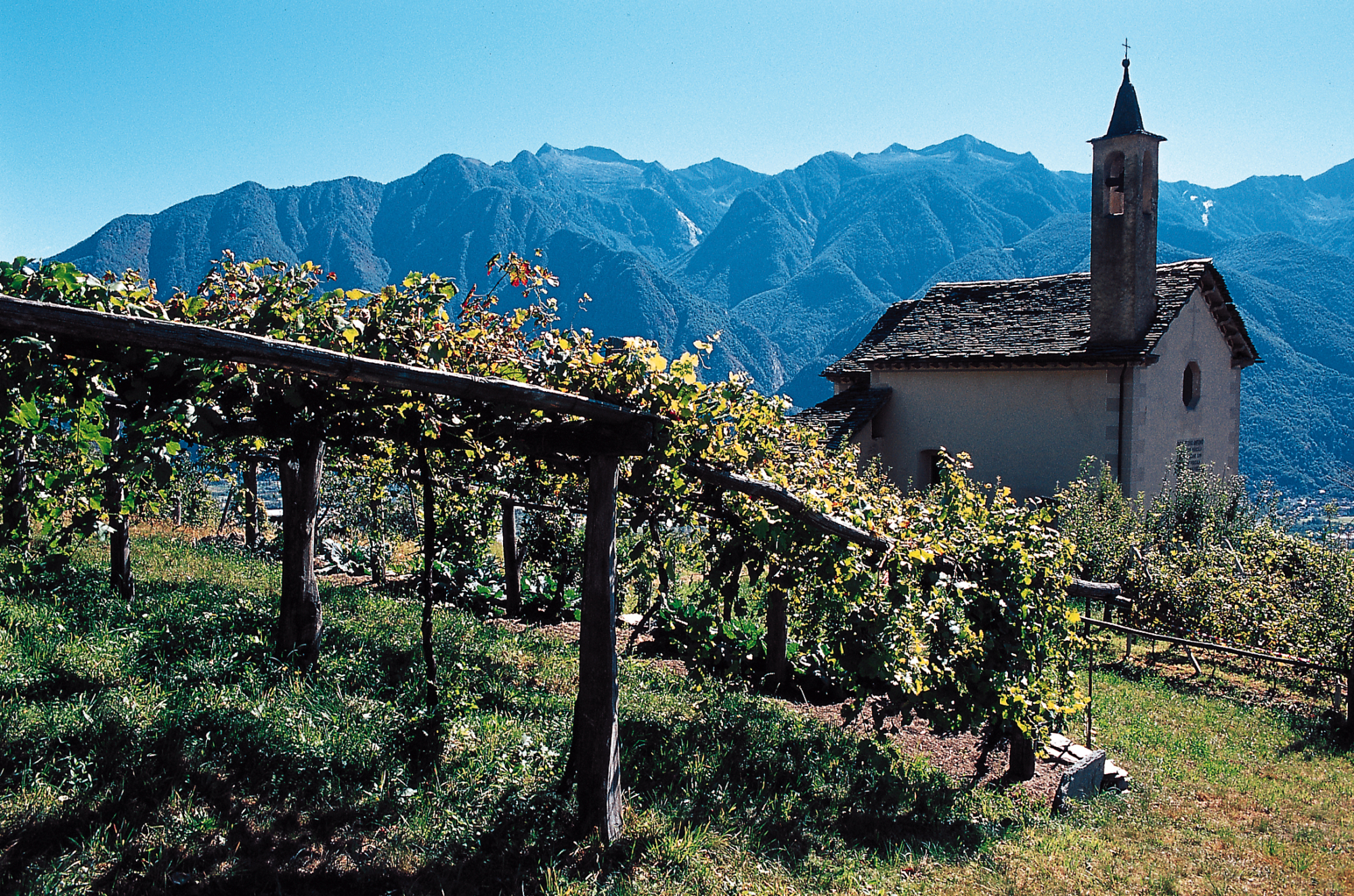
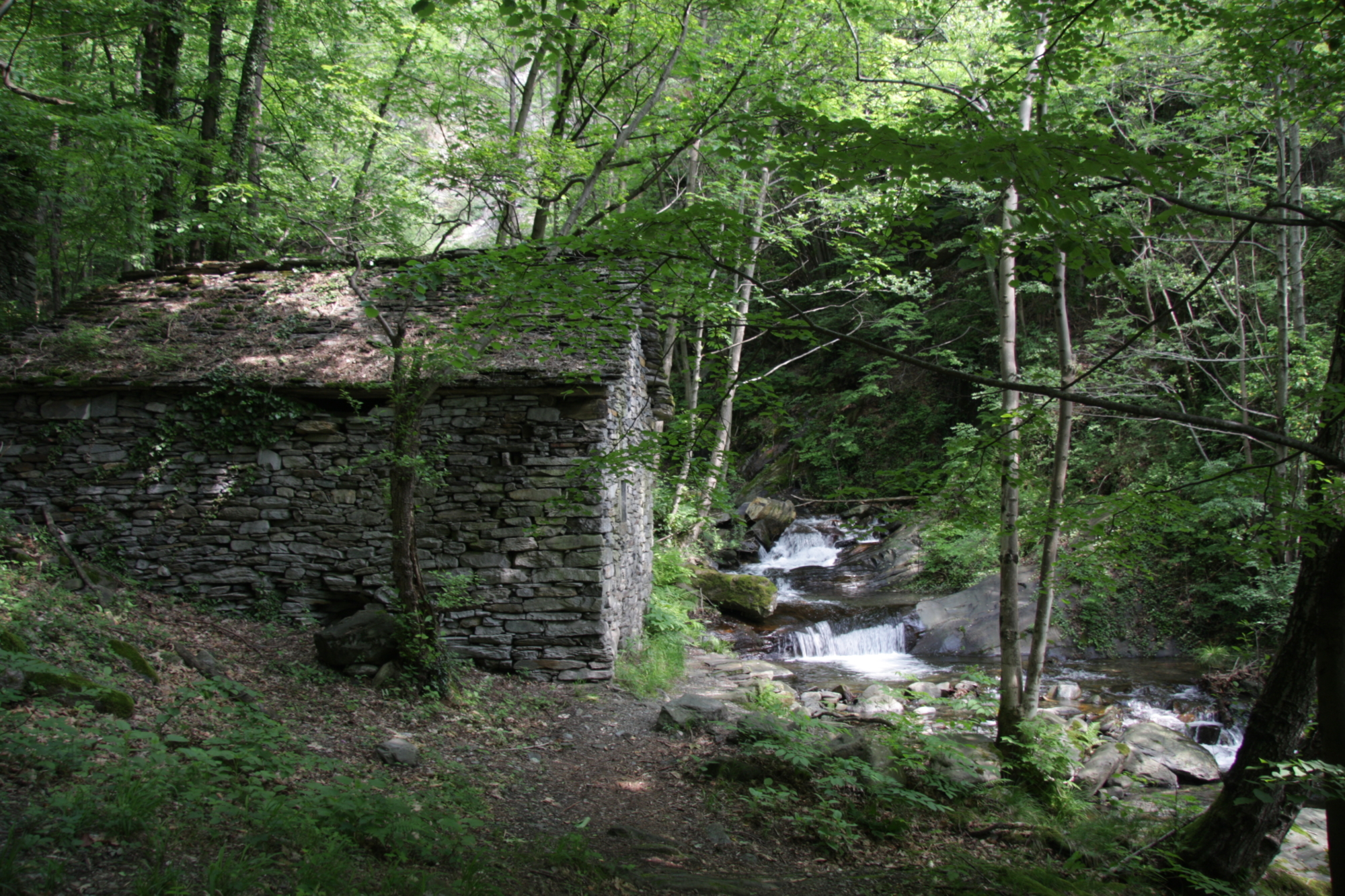
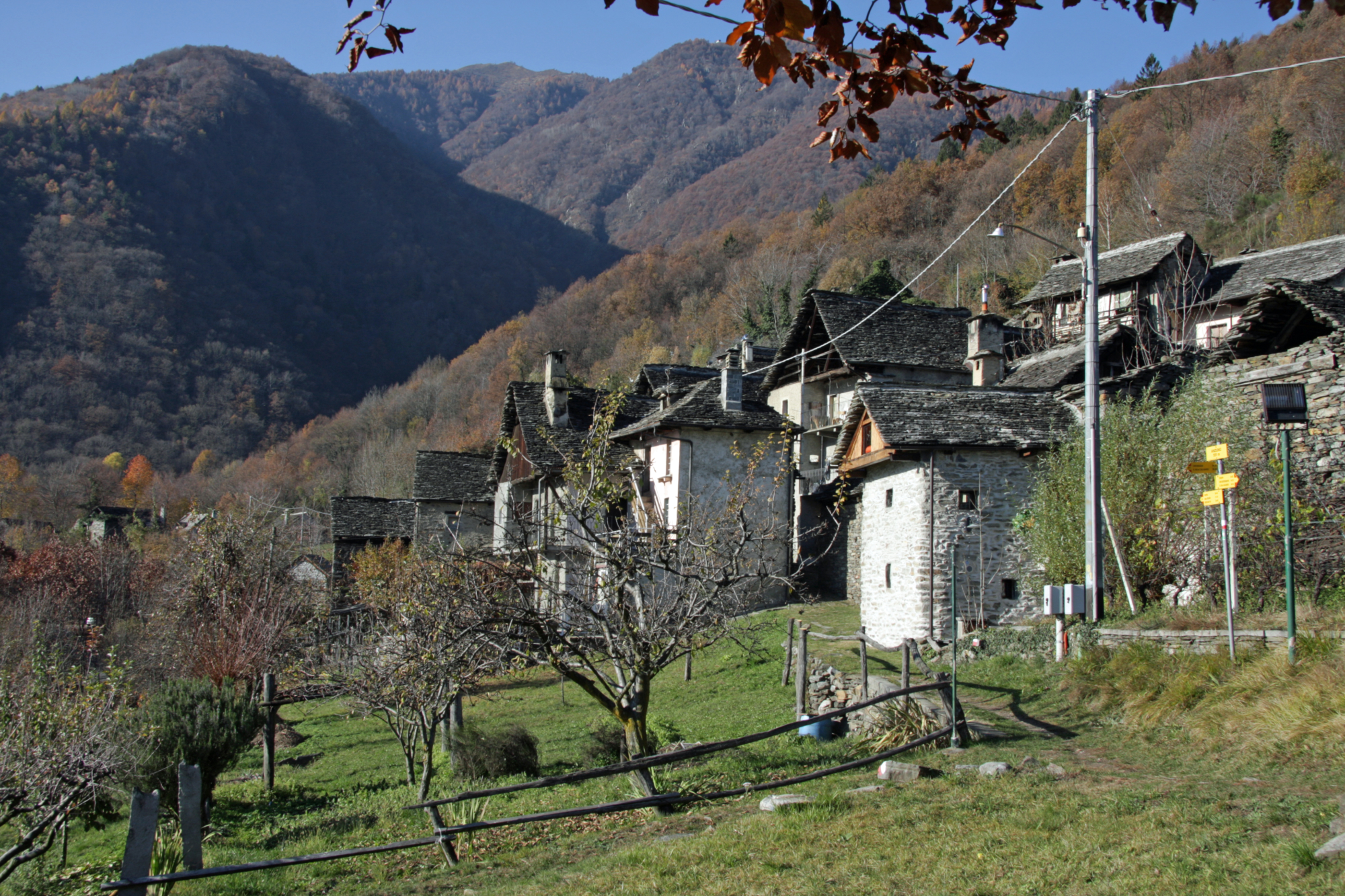
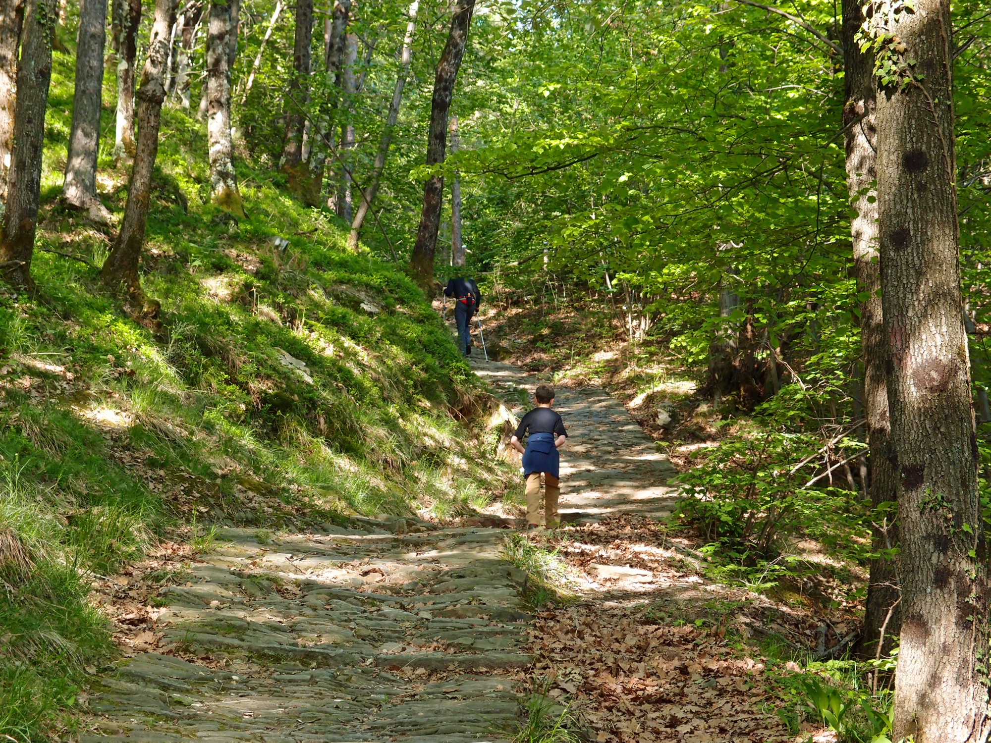
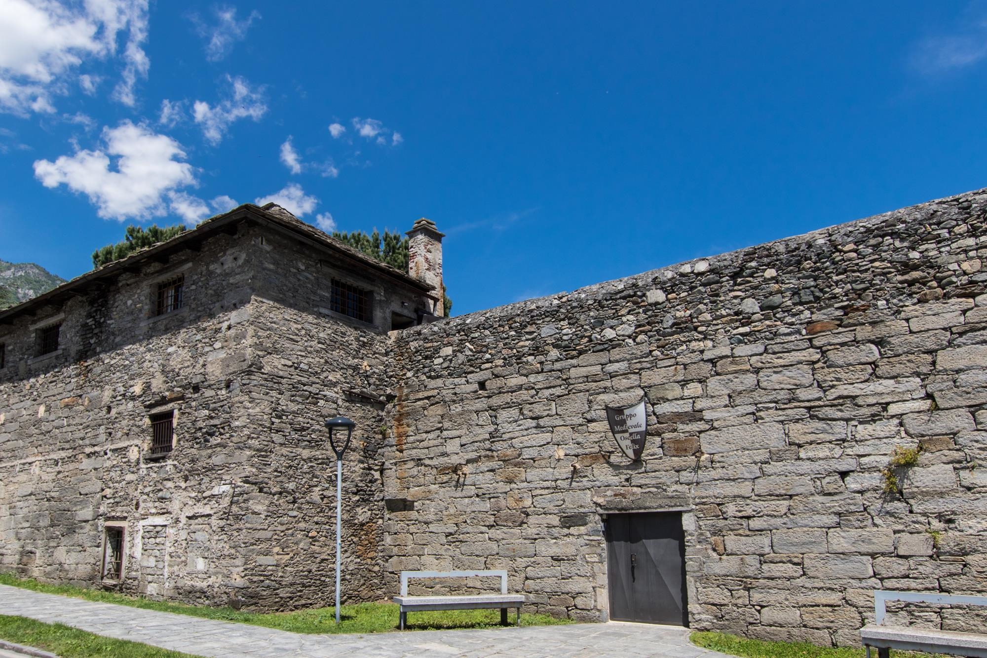
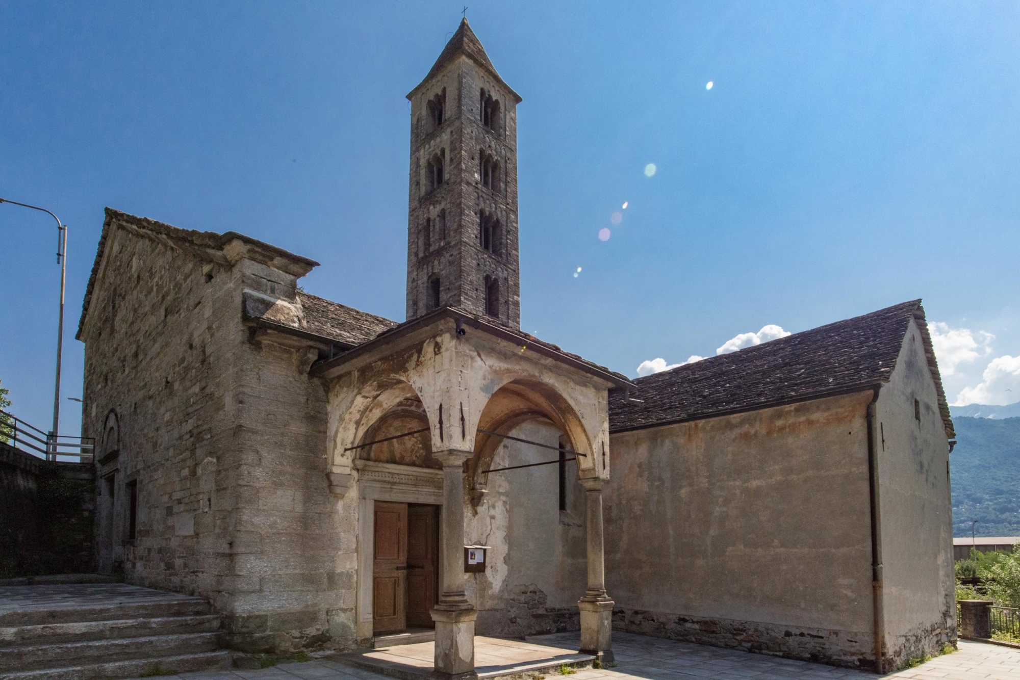
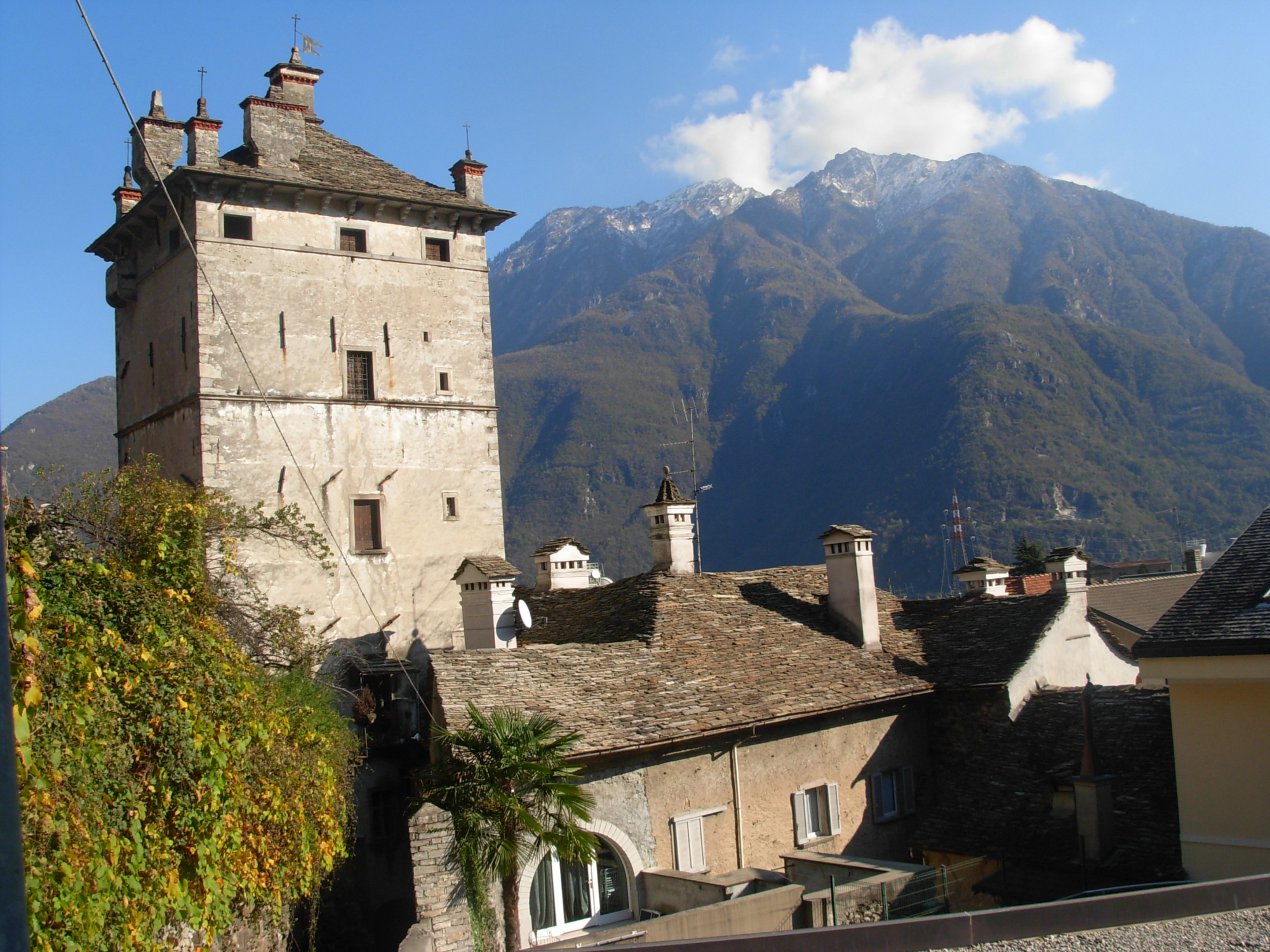
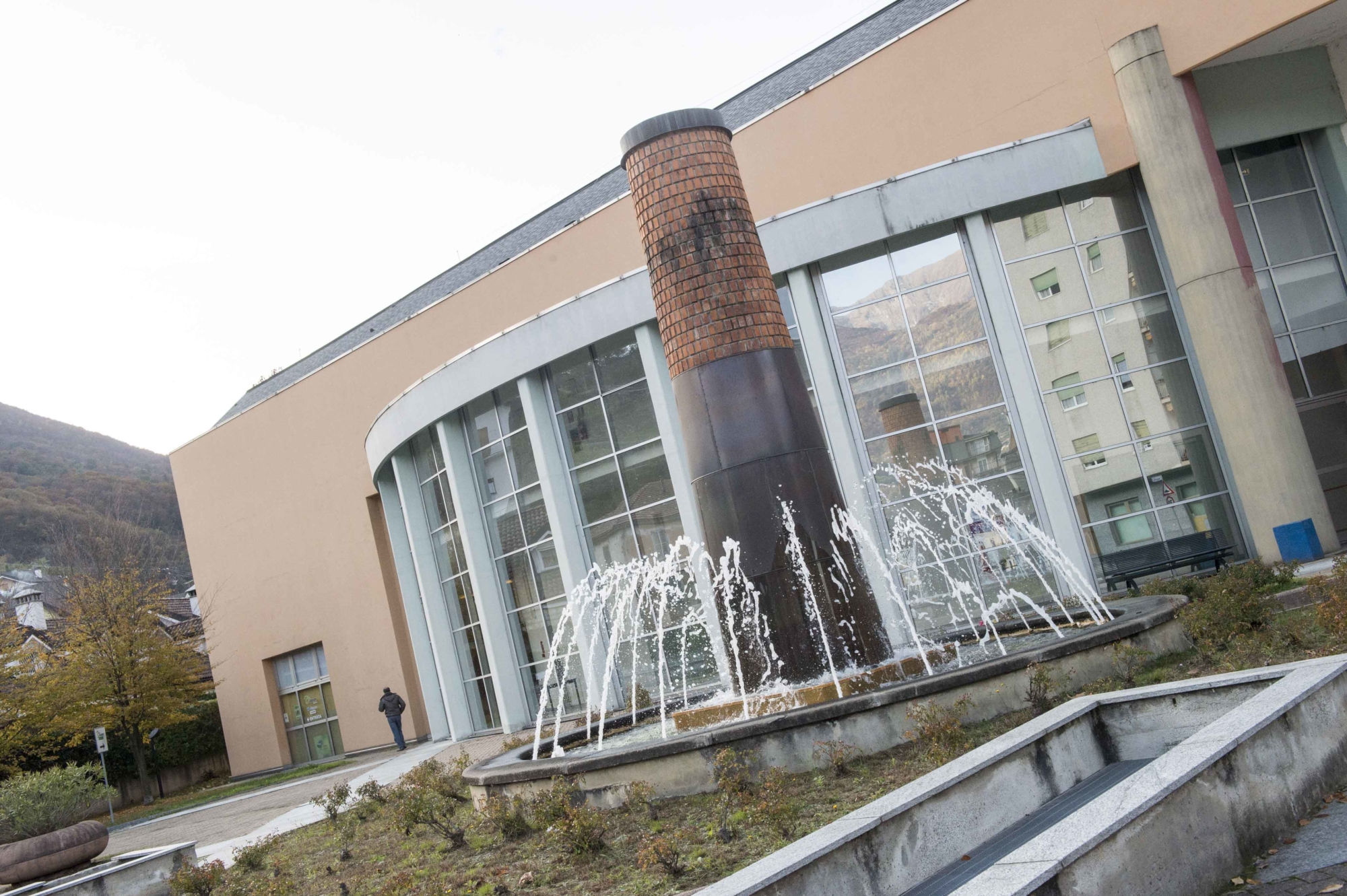
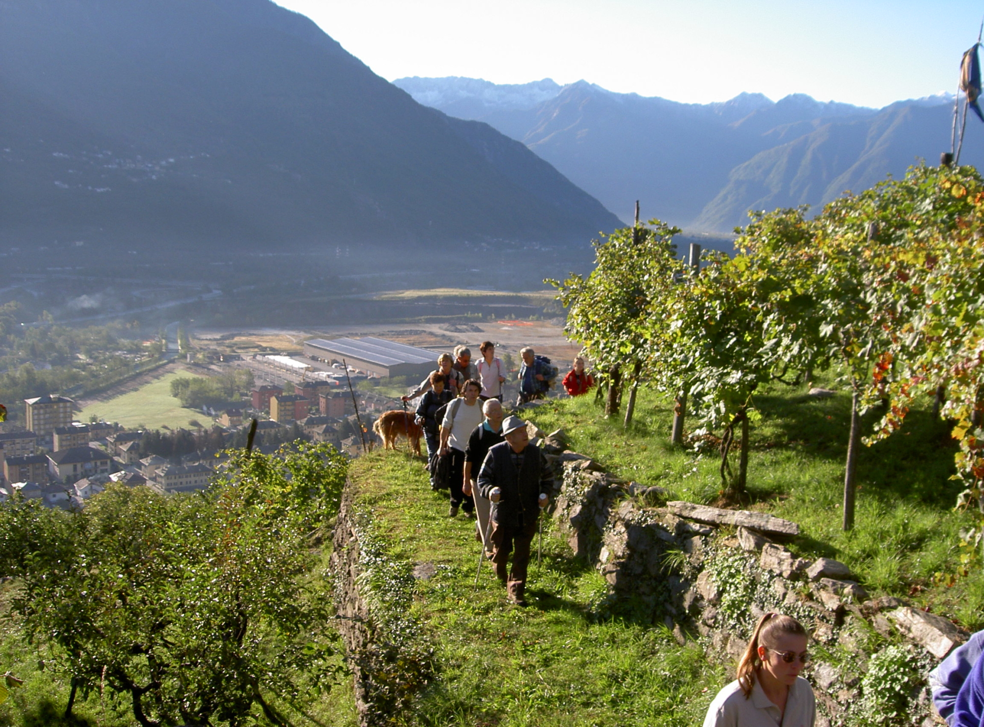
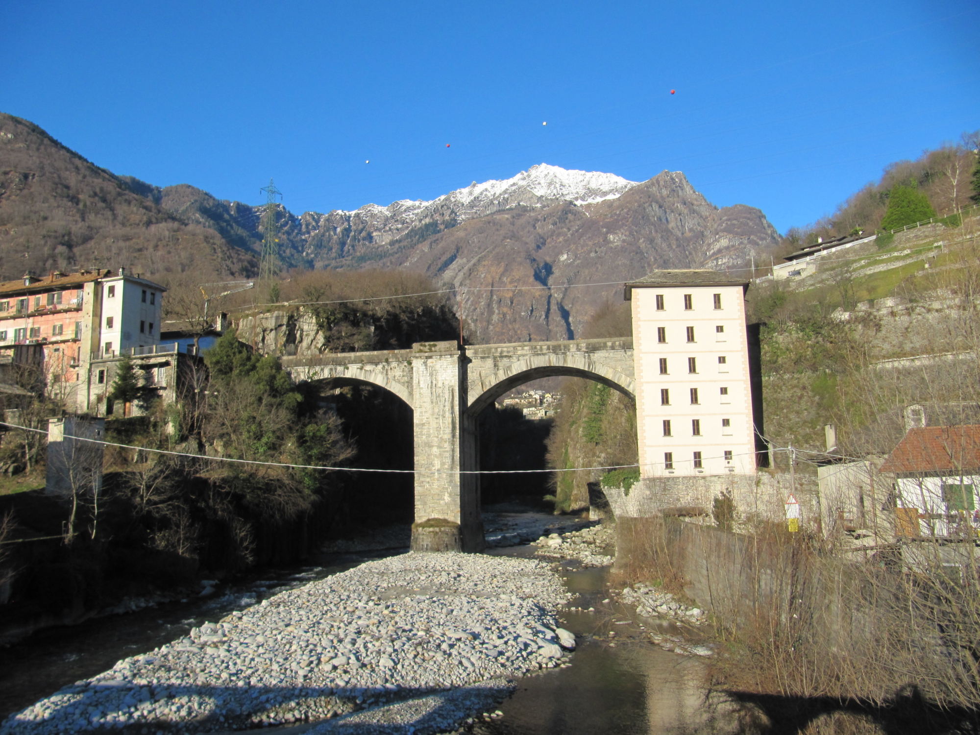
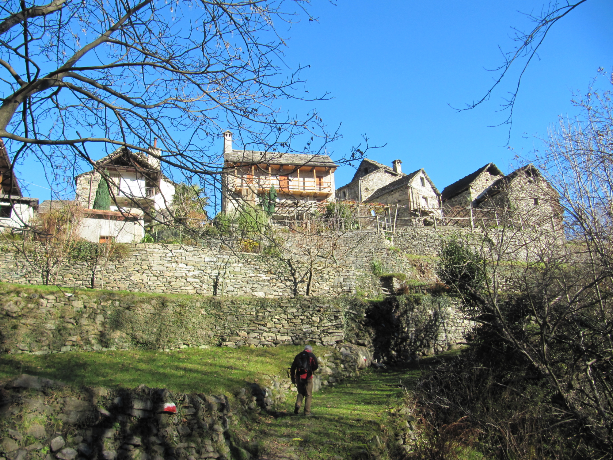
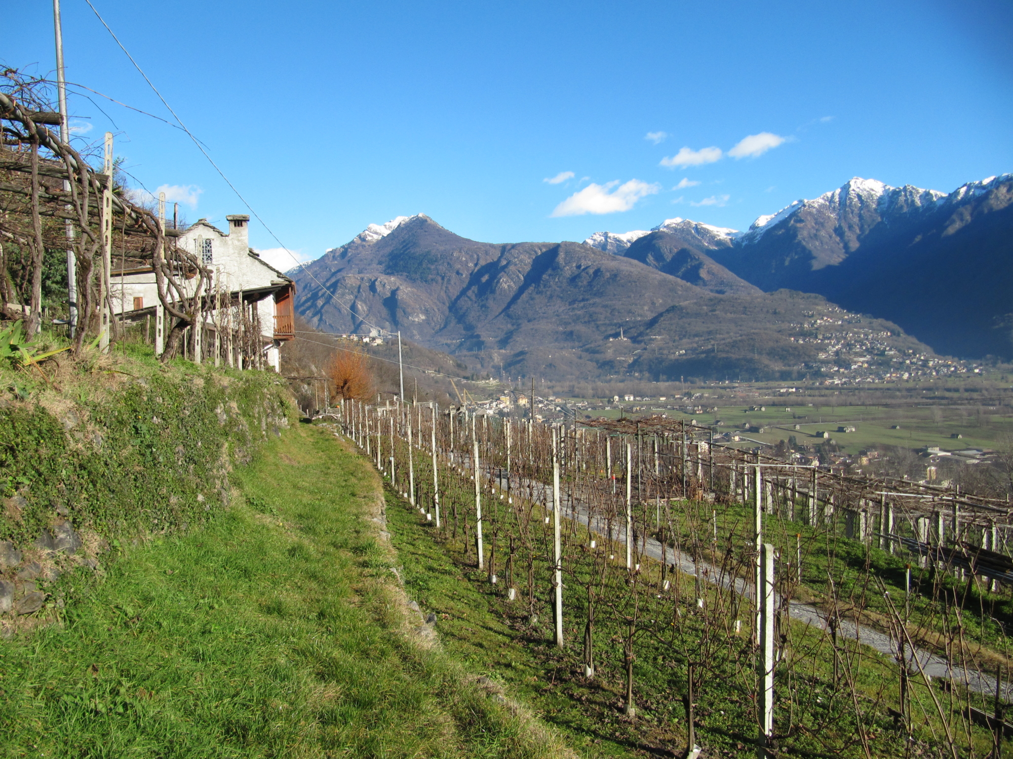
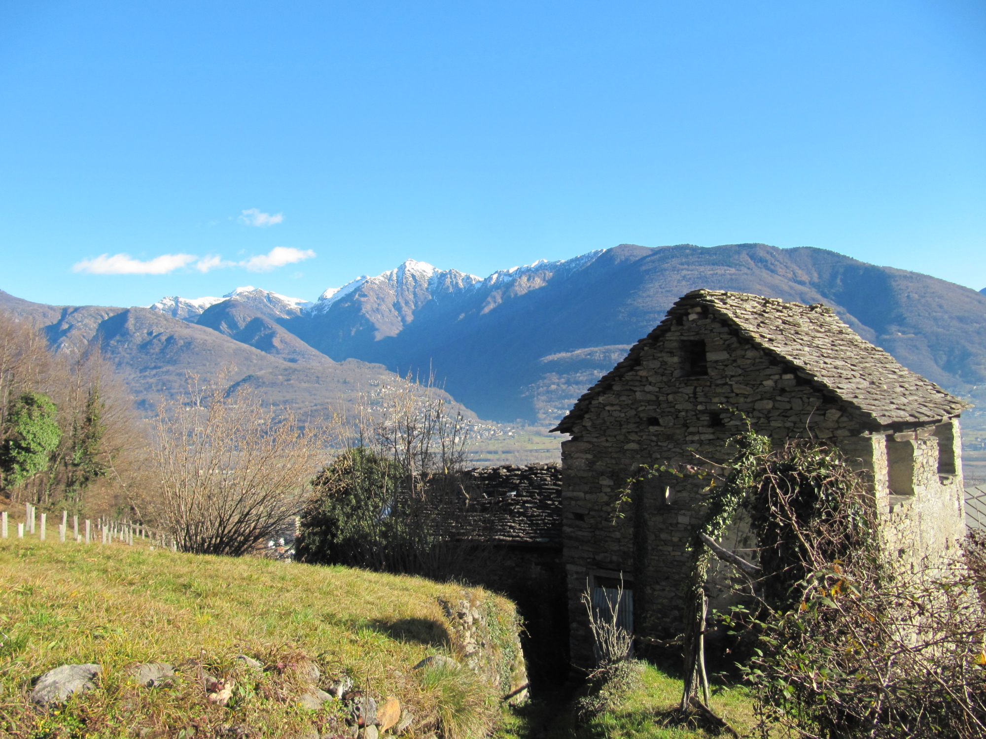
After the San Vitale Oratory, the historic road continues along the river Toce plane before reaching Domodossola through the Via Briona town gate: this part is now incorporated in the more modern roads viable for traffic. Leaving Crevoladossola the following part of the route crosses the sunny districts of Bosco, Canei and Monte, and then drops towards the Ardignaga Tower before continuing in the direction of Mocogna. Nearing Domodossola along a portion of the Roggia dei Borghesi the walk leads to the ancient Walls before entering the Borgo della Cultura, the splendid historic centre of the capital of the Ossola region, then rising to the Sacro Monte Calvario, a UNESCO World Heritage site. Having reached Crosiggia, the excursion leaves the route rising to Anzuno and Tappia along the Via dei Torchi e dei Mulini to cross Quartero, Campaccio and Rogoledo, which are higher districts of Domodossola. From Rogoledo the route dips to the arched bridge of Gabi Valle, and then rises again towards Valpiana, a district of Villadossola. Then the trail drops down again to pass through vineyards and continue on the road up as far as the junction to Gaggio and on to the splendid Romanesque San Bartolomeo Church in Villadossola. The route touches on the historical points of Piazza IV Novembre, the modern “La Fabbrica” Cultural Centre, where the biggest iron and steel industry of Villadossola was situated, the Chapel of San Rocco, the artisan workshop street, before continuing along Via Pedemonte which leads to Pallanzeno. From Pallanzeno the road continues to Piedimulera, where the Ferrerio Tower rises, crosses the Anza, ascends to Fomarco and just below this district takes the route passing by the Cengio Tower and the Villa Tower before descending to the Church in Pieve Vergonte, the ancient “Pietrasanta”.

DISCOVER THE OTHER STAGE OF THE VIA FRANCISCA:
Stage 2 – From Pieve Vergonte to Gravellona Toce

Useful info

Italian Alpine Club (CAI) site identification code

Sector A “Historic Routes” A00a

Places visited

Crevoladossola, Bosco, Canei, Monte, Ardignaga, Mocogna, Domodossola, Sacro Monte Calvario, Crosiggia, Quartero, Campoccio, Rogoledo, Gabi Valle, Valpiana, Murata, San Bartolomeo, Villadossola, Pedemonte, Pallanzeno, Piedimulera

Points of interest along the route

  • Castello dei Silva at Crevoladossola
  • Crevoladossola Church
  • Hill terracing in Bosco and Canei
  • Remains of the signal towers
  • Terracing and cultivations in Monte
  • The Ardignaga Tower
  • The Domodossola “Muraccio” wall, the ancient banks of the river Bogna
  • The Borghesi irrigation channel and workshops
  • The Torretta (Tower) with the remains of the mediaeval walls of Domodossola
  • The historical centre, the Borgo della Cultura, of Domodossola
  • The Sacro Monte Calvario (Holy Calvary Mount) of Domodossola, UNESCO World Heritage Site
  • The Gabi Valle bridge
  • The Romanesque San Bartolomeo Church in Villadossola
  • The Napoleonic arched bridge in Villadossola
  • The “La Fabbrica” Cultural Centre in Villadossola
  • Chapel of San Rocco, the remains of the San Maurizio Church, Villa Lena in Villadossola
  • The hydroelectric plant in Pallanzeno
  • Pallanzeno village
  • The historical village of Piedimulera
  • The splendid Ferrerio Tower
  • The remains of the Torre della Villa (tower)
  • The Church in Pieve Vergonte

Accommodations

Stop-off point in a hotel in Piedimulera (about 1.5 km from Pieve Vergonte) – Alternatively you can return to Domodossola by bus or train on the Italian National Railway Milan-Domodossola line.

Useful info

Domodossola FFSS International Railway Station (from Bern and Milan). From the BUS Terminal take the bus for Crevoladossola.
Contact references: Council Authority districts of Crevoladossola, Domodossola, Villadossola, Pallanzeno, Pieve Vergonte
CAI contact reference: Domodossola, Villadossola and Piedimulera branches

Difficulty

Easy.

Lenght

26,5 km

Ascent/descent

Ascent 725 m / Descent 866 m

Time to complete the route

8 hrs 05 min

Recommended equipment

Walking boots

Signage

A00a

Reference map(s)

Map n° scale 1:50.000 CAI / VCO Province
Map n° 9 – 7 – 6 scale 1:25,000 of Geo4Map/CAI
Digital maps on App: ViewRanger – Avenza Maps

Historic, artistic and cultural value
Value of traditional and peasant life
Ideal for
Everybody
You will discover
Nature
Sport
Guide to itineraries and useful info
Ideal for
Everybody
You will discover
Nature
Sport
Guide to itineraries and useful info
Choose your
mountain guide
IAT di Domodossola
Piazza Matteotti (inside the railway station)
28845 Domodossola (VB)
See map
Choose your
tour or nature guide

You might also be interested in...