Hiking – Around Morasco Lake
Difficulty
Easy
Period
Summer

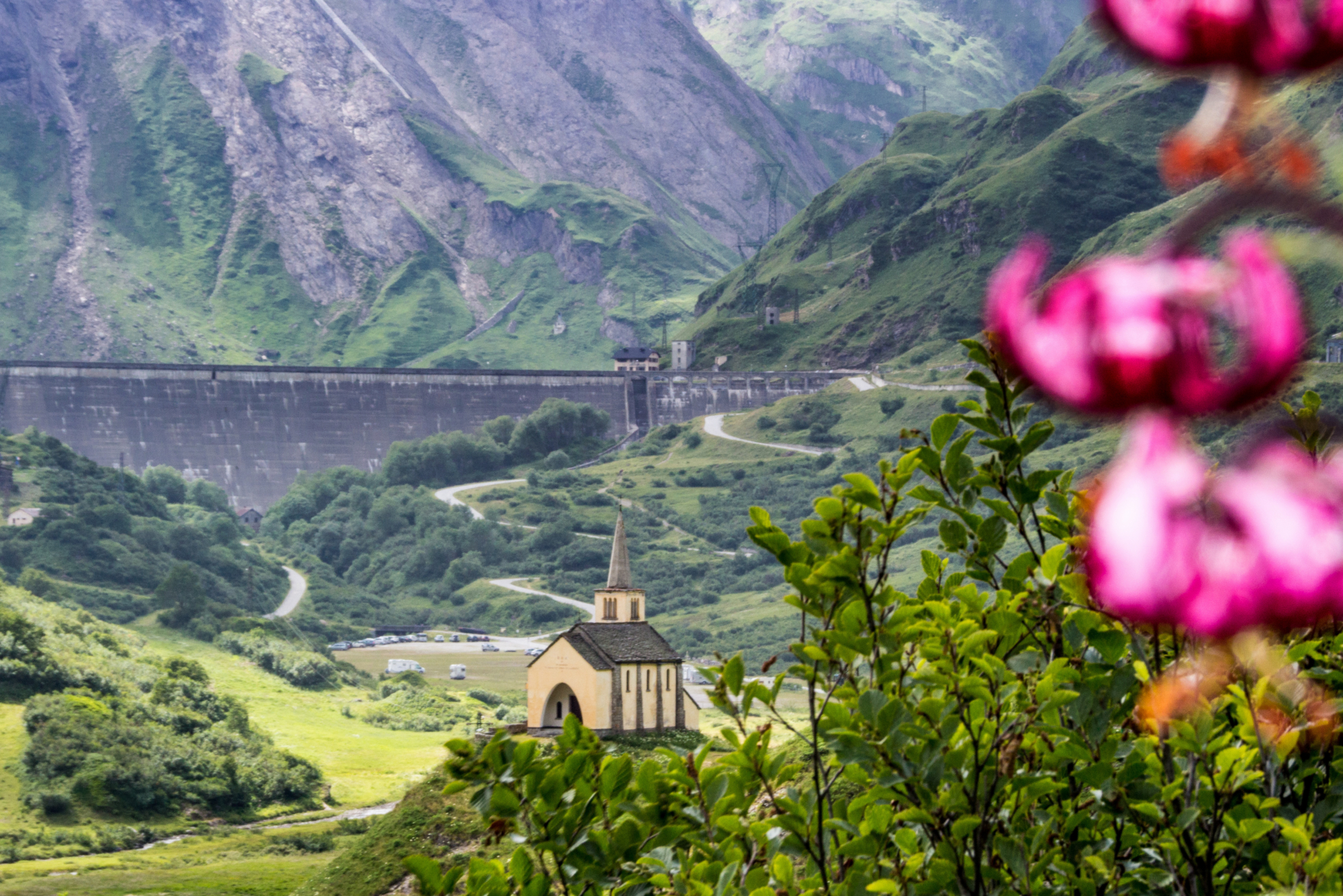
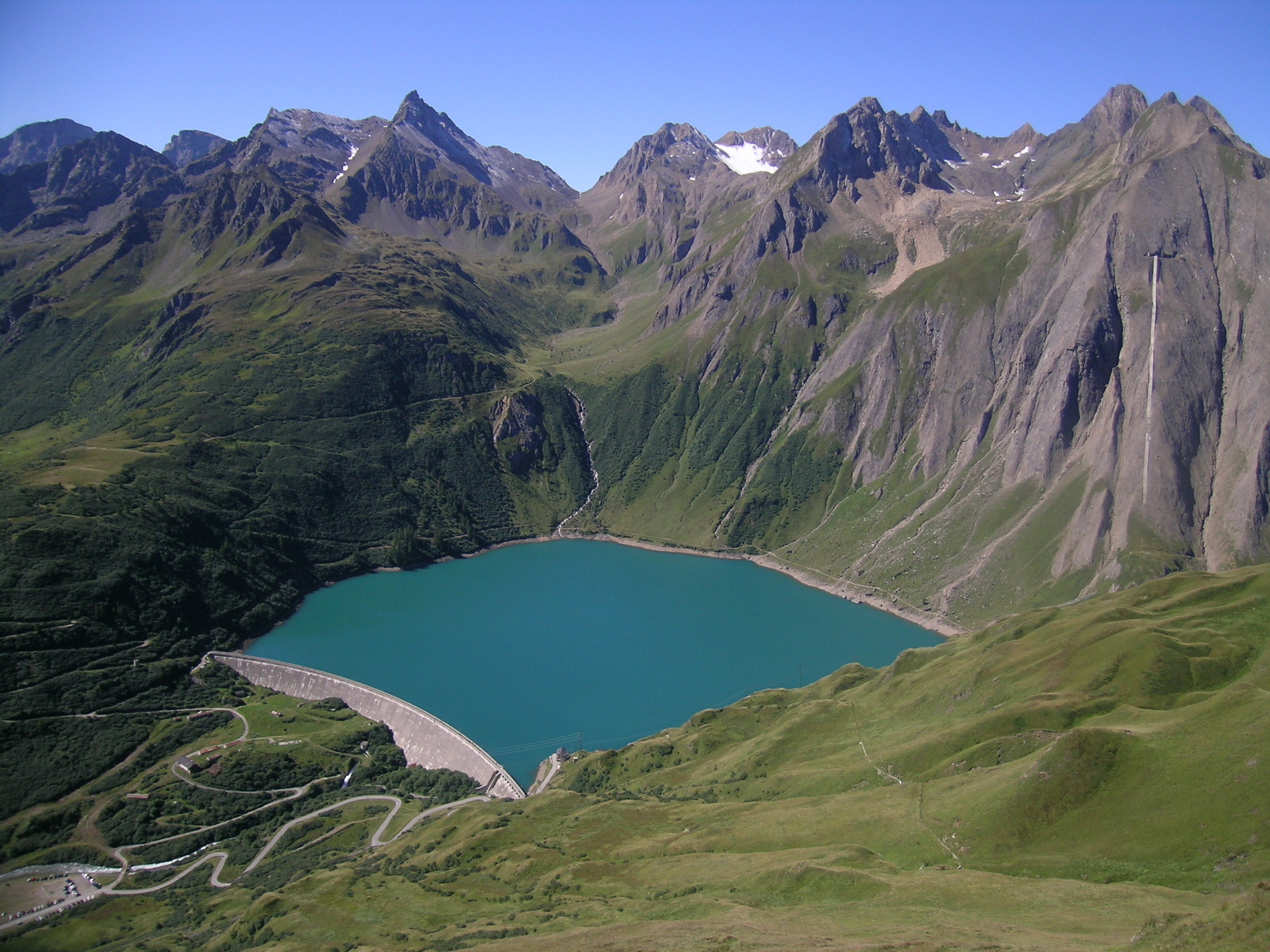
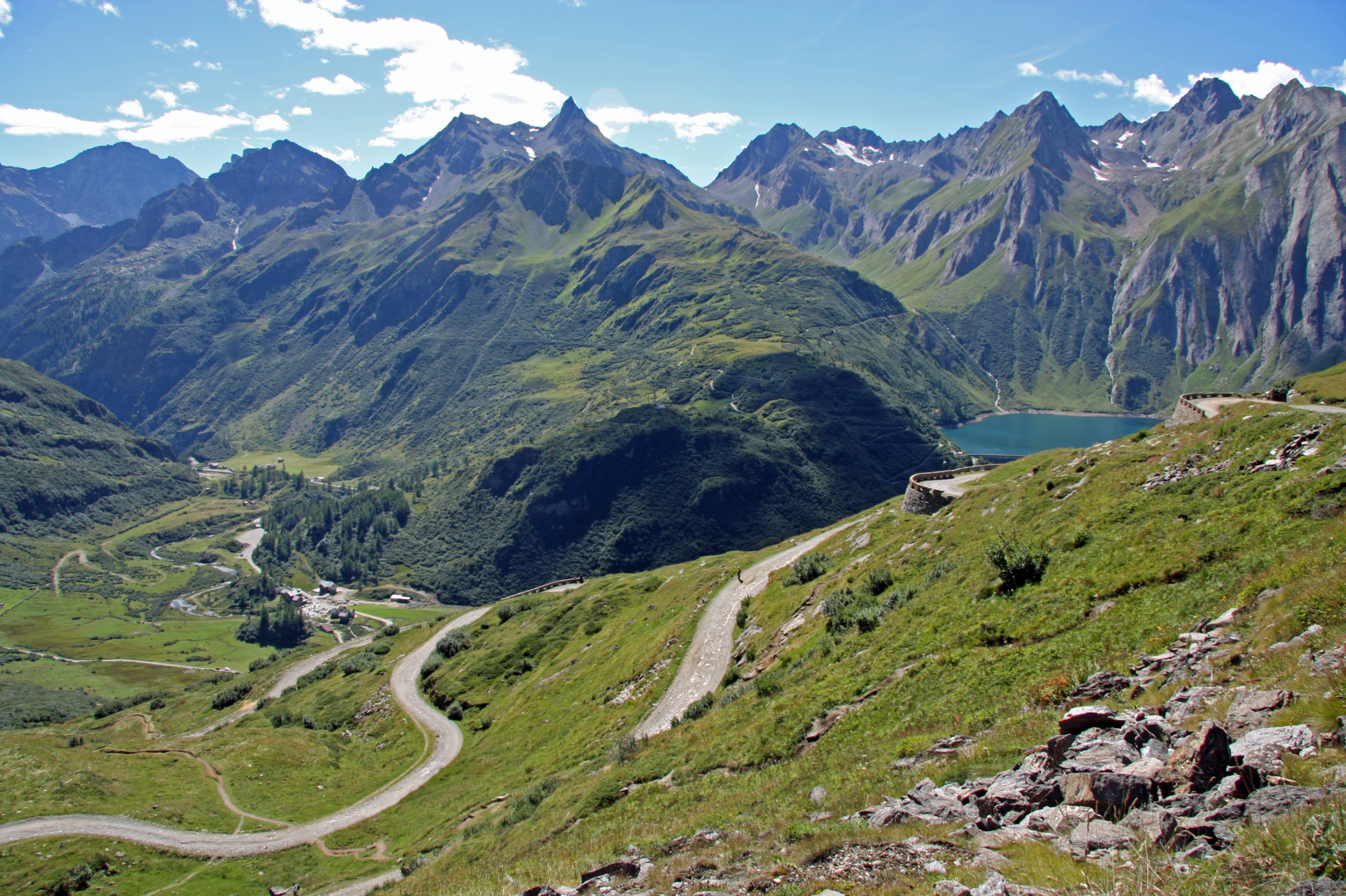
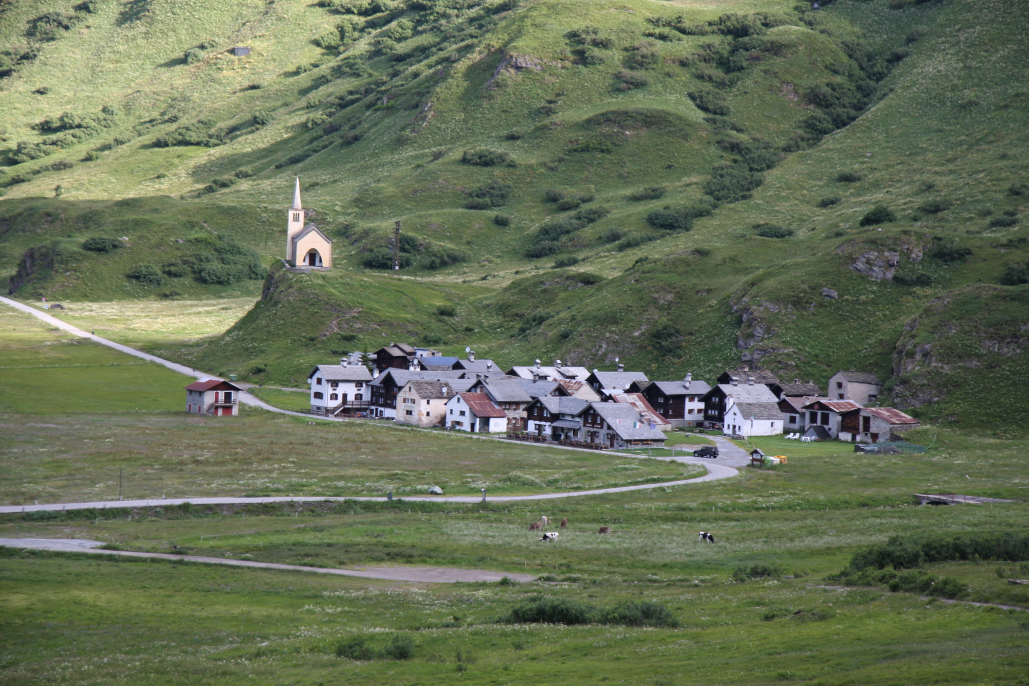
This route unfolds in a high mountain environment, in the basin of the Formazza Valley where the Toce River is born. Morasco, together with Riale, represented the extreme limit of the 13th-century Walser settlements in the Formazza Valley. Riale still has its old nucleus around the oratory today, while Morasco was finally abandoned in 1938 to allow the Edison company to build a hydroelectric power plant. Shortly after the town of Riale, the small oratory stands out on a hill, a true symbol of this plain (photographed in all seasons!) built by Edison in the 1930s in memory of the workers who died during the construction of the plants, and also to commemorate the town of Morasco, literally buried by the waters of the immense dam.

Description

Upon arrival in Riale continue on foot along the road that leads to the old village, cross it between old wooden and stone houses, and climb to the small church, which offers a view point over the entire Riale plain. Continue on the paved road until you reach the fork for Furculti, turn right and follow a path that cuts across the road at some points to reach the dam. Via a dirt road the crosses the watchmen’s house, skirt the lake, arrive at the bottom, descend on the left track to cross the bridge and go to the side of the hydroelectric power station. From here begins a wide, flat path that completes the loop of the lake, crossing some streams and keeping your eyes turned to the lake. Once at the dam, take a short stretch of track and descend along a rather steep path until you meet a crossroads with the trail that climbs up to Furculti. Take it to go down to the Bimse Refuge: from the refreshment area you can follow the road or opt for the comfortable footpath that descends until you meet the uphill track that leads back to Riale.

Useful info

Italian Alpine Club (CAI) site identification code

Sector G “Routes” – IG26

Useful info

Domodossola FS International Railway Station (from Bern and Milan).
From the BUS terminal, take the Formazza Valley bus route, getting off in Riale.
Contact details: Municipality of Formazza 
CAI contact details: Formazza Section
Refreshment areas: Bimse Refuge – Locanda Walser Schtuba – Albergo Aalts Dorf

Difficulty

Easy. The route is not particularly difficult. Beware: the environment is high in the mountains, you should always bring suitable clothing with you as weather conditions can change abruptly.

Lenght

8,1 km

Ascent

210 m

Total duration

2 hrs 10 min

Recommended equipment

Walking boots

Signage

G00

Best time of year

From July to September

Reference map(s)

Map no. 10 scale 1:25,000 of the Geo4Map/CAI
Digital maps on the following apps: ViewRanger – Avenza Maps

Historic, artistic and cultural value
Natural value
Ideal for
Everybody
You will discover
Nature
Sport
Guide to itineraries and useful info
Ideal for
Everybody
You will discover
Nature
Sport
Guide to itineraries and useful info
Choose your
mountain guide
IAT di Formazza
Frazione Ponte, 5 28863 Formazza (VB) See map
Choose your
tour or nature guide

You might also be interested in...