Hiking – Road of Presses and Mills
Difficulty
Easy
Period
Spring / Summer / Autumn

The route goes along the “Via Alta” (now Via dei Torchi e dei Mulini – Road of Presses and Mills), through the high villages between Domodossola and Villadossola, rediscovering country life among presses, mills and old ovens. In the first part, you can also visit the Domodossola Borgo della Cultura and the Sacro Monte Calvario.

Description

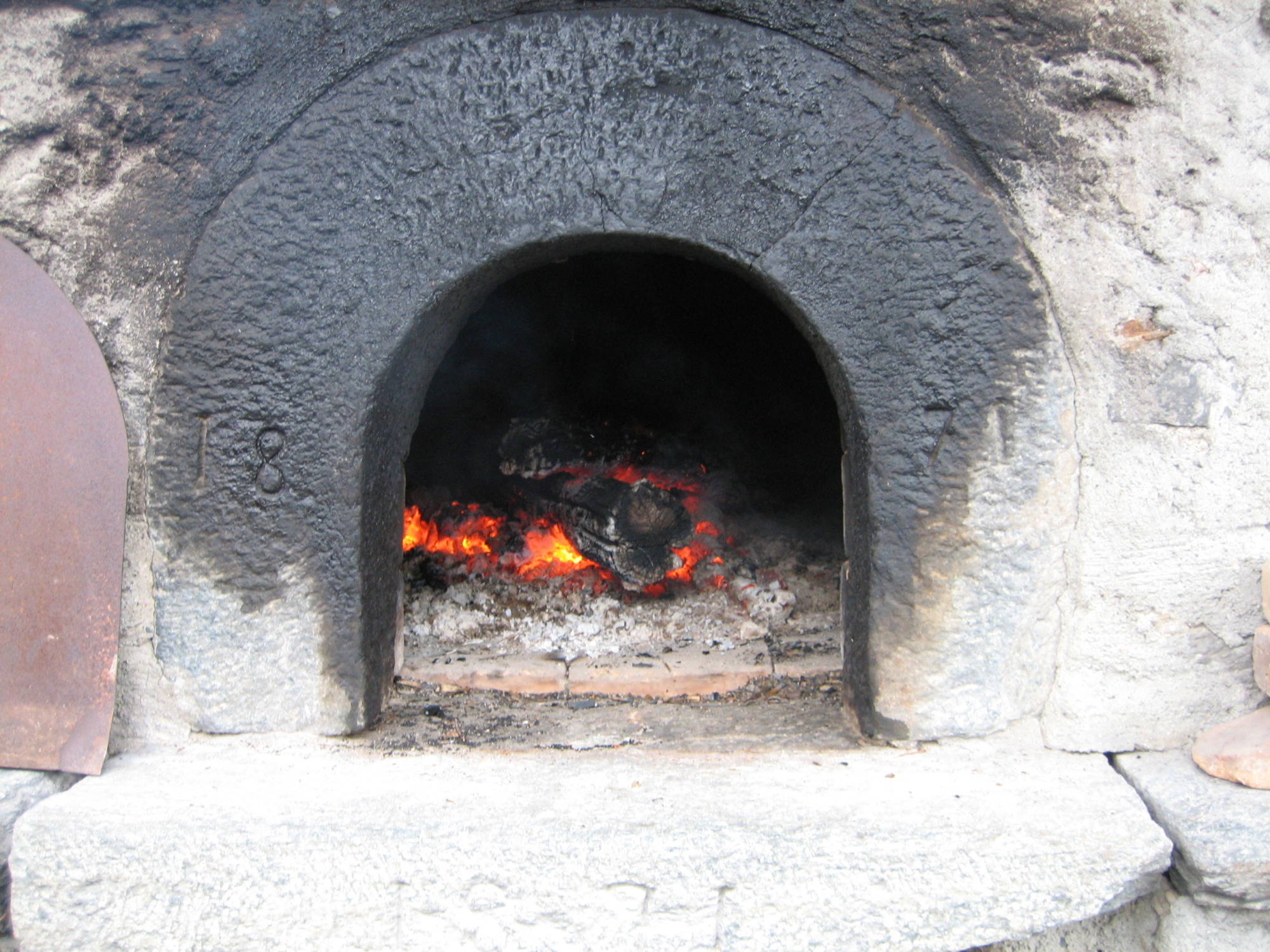
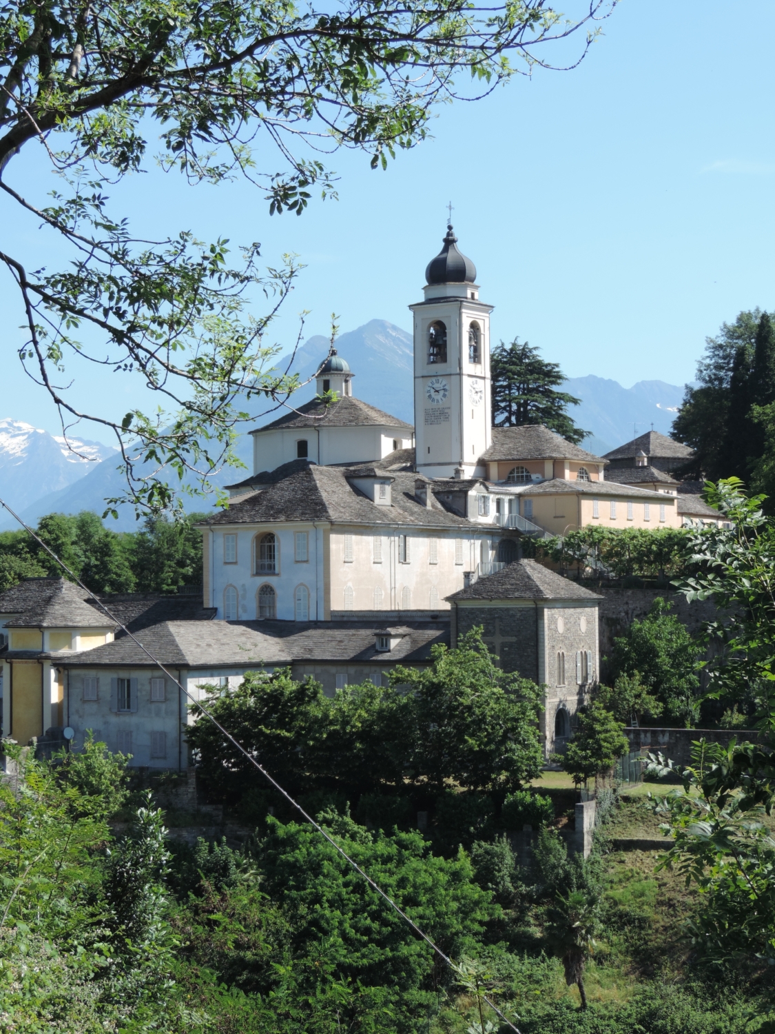
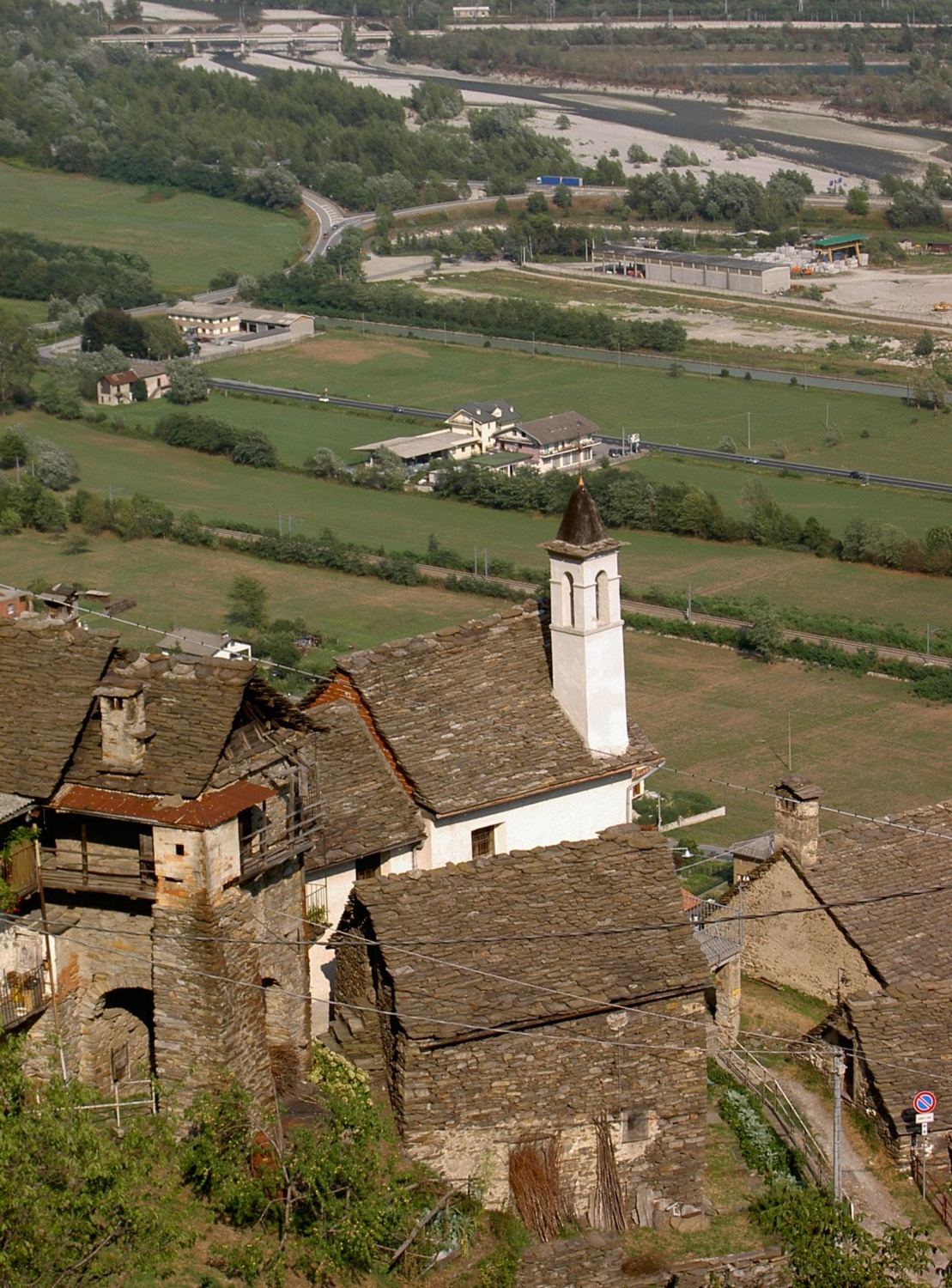
From the train station in Domodossola, head up along Corso Ferraris, then Corso F.lli di Dio up to Piazza della Republica dell’Ossola, where the town hall stands. Continue to Piazza Tibaldi and then along Via Rosmini up to Largo Madonna della Neve. Take Via Mattarella and Via del Calvario as far as the Sacro Monte Calvario complex, a UNESCO World Heritage Site. Once you reach the Sacro Monte Calvario, after a visit to the monumental complex, climb to Crossiggia from where the mule track that leads to the Oratory of Sant’Antonio in Anzuno begins. Having crossed the hamlet, with its press, school and oven, you reach the valley of the Anzuno river, where you can visit the mills and the old quarry for the extraction of soapstone. After passing the Cappella dell’Oro (Gold Chapel), you’ll reach the old village of Tappia, characterised by splendid examples of traditional architecture, fountains, an old oven and a press. From Tappia the mule track begins, descending to Valpiana. From the church, a mule track leads to Gabi Valle, before reaching Rogoledo, after crossing an arched bridge. Continuing on to Quartero, you’ll soon reach Crossiggia church and return to your starting point.

Useful info

Italian Alpine Club (CAI) site identification code

Sector A “Routes”– IA05

Useful info

Domodossola FS International Railway Station (from Bern and Milan).
Contact details: Riserva del Sacro Monte Calvario
CAI contact details: Domodossola Section
Refreshment areas in Borgata Sacro Monte Calvario, La Tensa and Tappia.

Difficulty

Easy route. The majority of the route is along mule tracks.

Lenght

13 km

Ascent

495 m

Total duration

3 hrs 45 min

Recommended equipment

Walking boots

Signage

A00a – A01 – A03

Reference map(s)

Map no. 7 or 8 scale 1:25,000 of the Geo4Map/CAI
Digital maps on the following apps: ViewRanger – PDF Maps

Historic, artistic and cultural value
Value of traditional and peasant life
Ideal for
Everybody
You will discover
Nature
Sport
Guide to itineraries and useful info
Ideal for
Everybody
You will discover
Nature
Sport
Guide to itineraries and useful info
Choose your
mountain guide
IAT di Domodossola
Piazza Matteotti (inside the railway station)
28845 Domodossola (VB)
See map
Choose your
tour or nature guide

You might also be interested in...