Hiking – Salecchio and Alpe Vova
Difficulty
Medium
Period
Spring / Summer / Autumn

A unique route, offering wonderful views, but above all a real full immersion in Walser culture. This ancient population, which managed to colonise high mountain places, has left here, in the upper Antigorio Valley, on the border with the Formazza Valley, testimonies of great importance: mule tracks, typical and inimitable architecture, churches, oratories, community ovens, mills, old sawmills, a school, the lime kiln. You can admire all of these and more along one of the most fascinating routes in the Ossola Valley.

Description

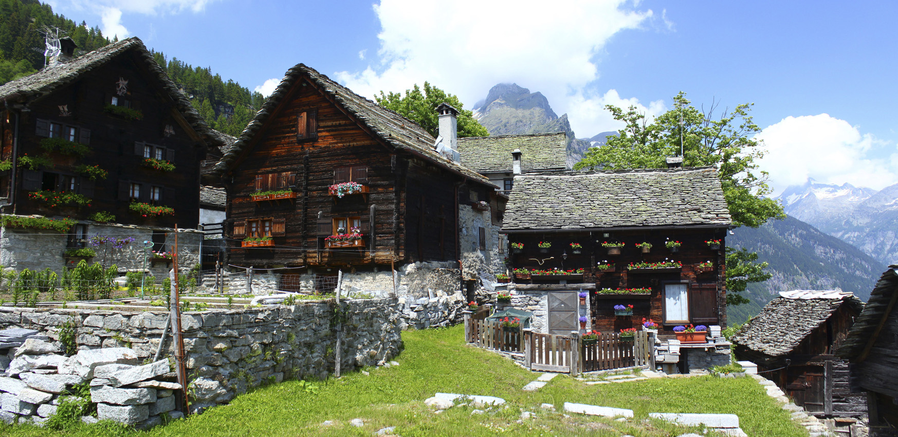
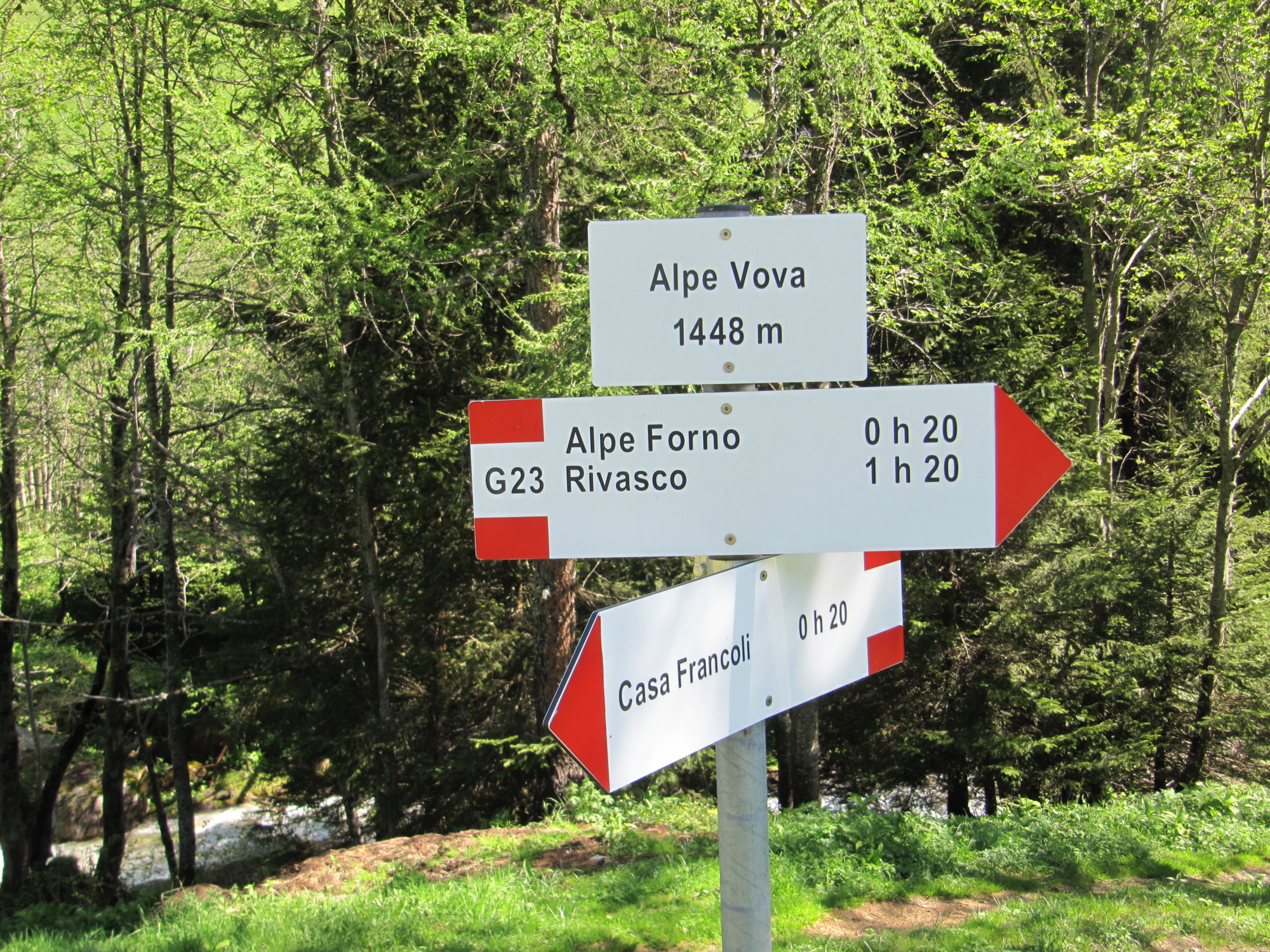
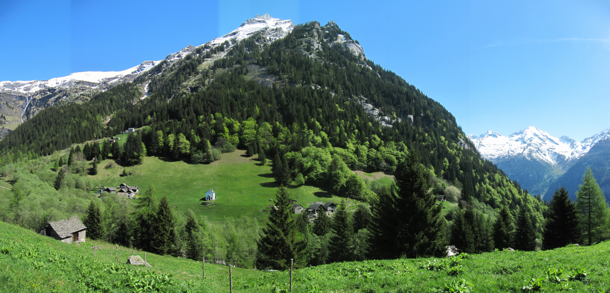
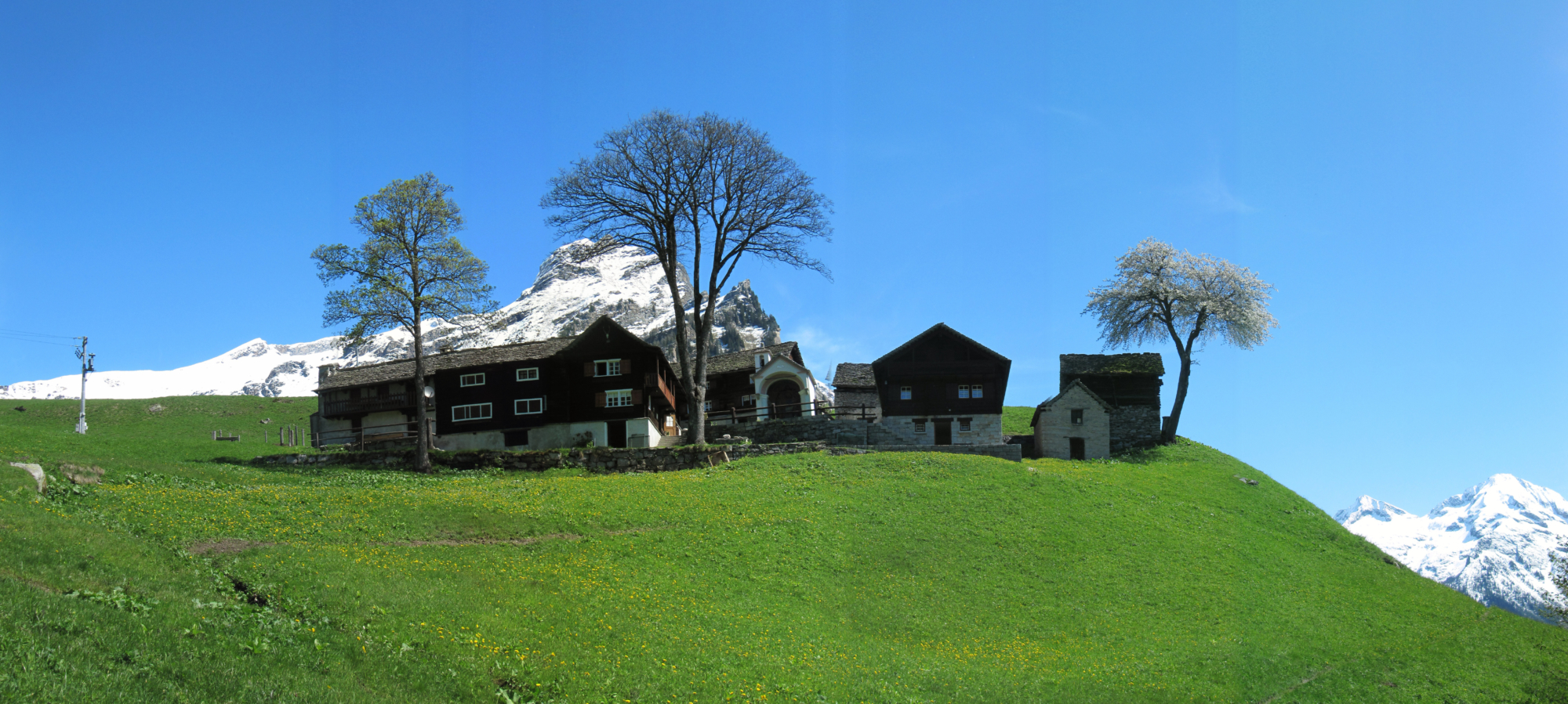
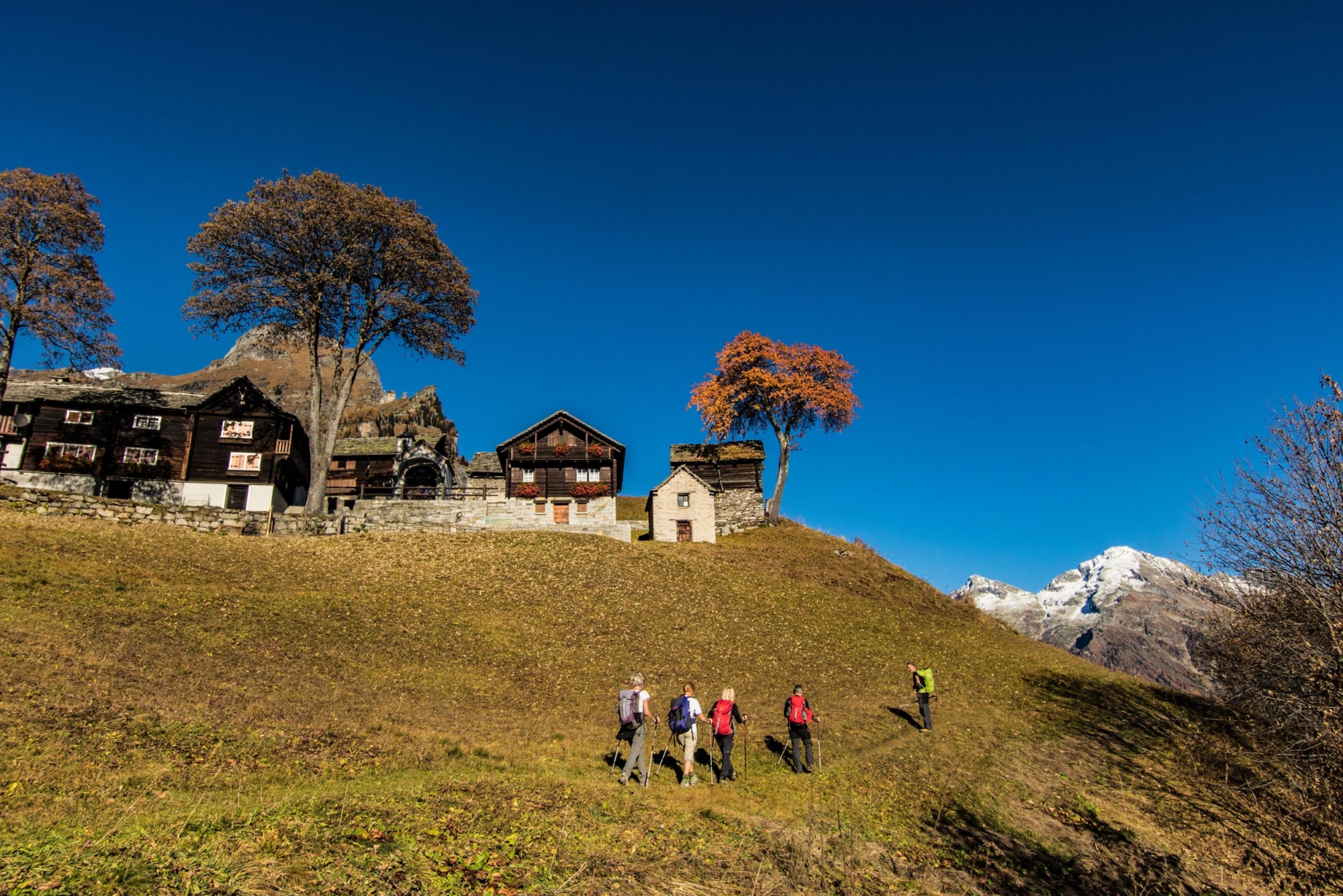
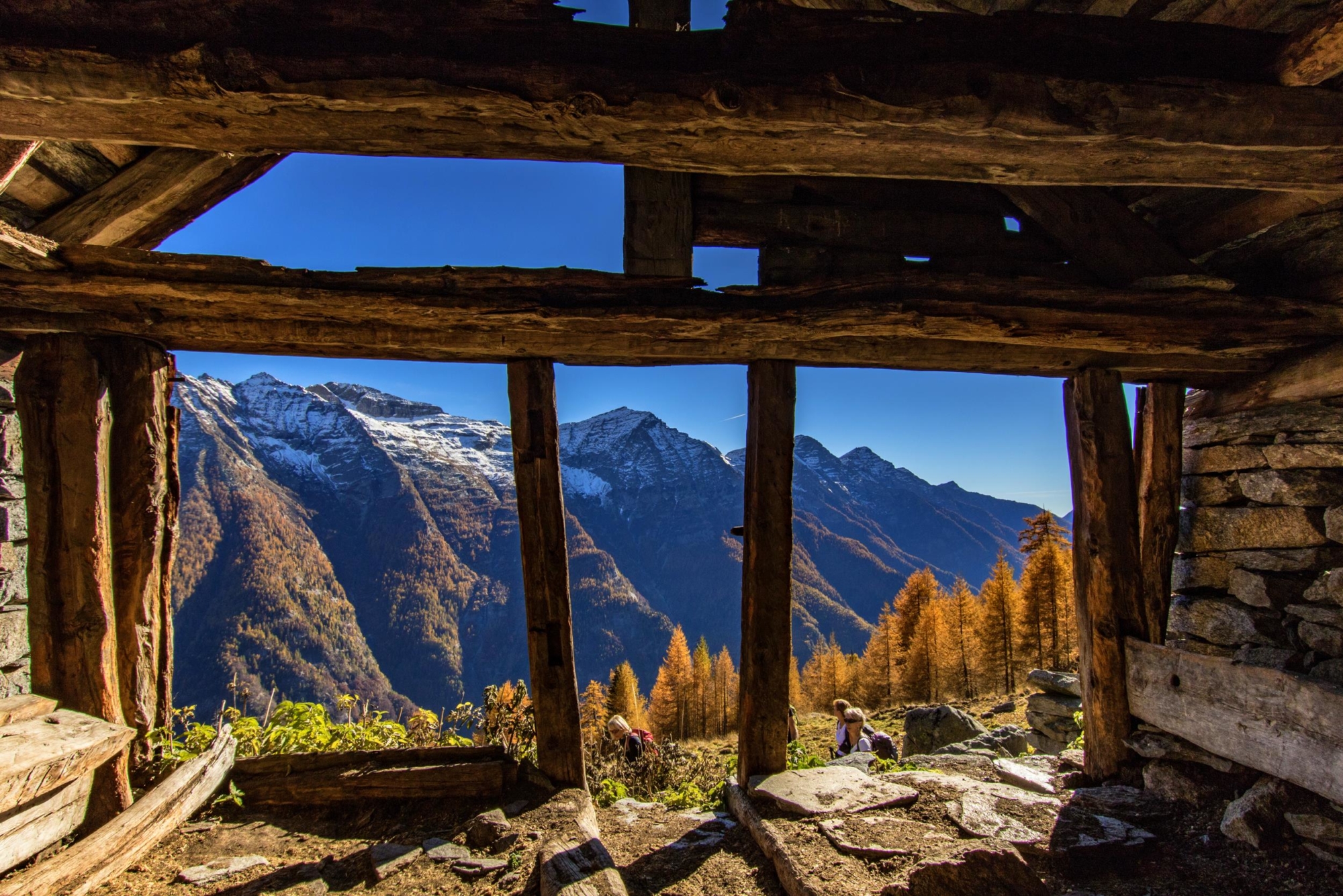
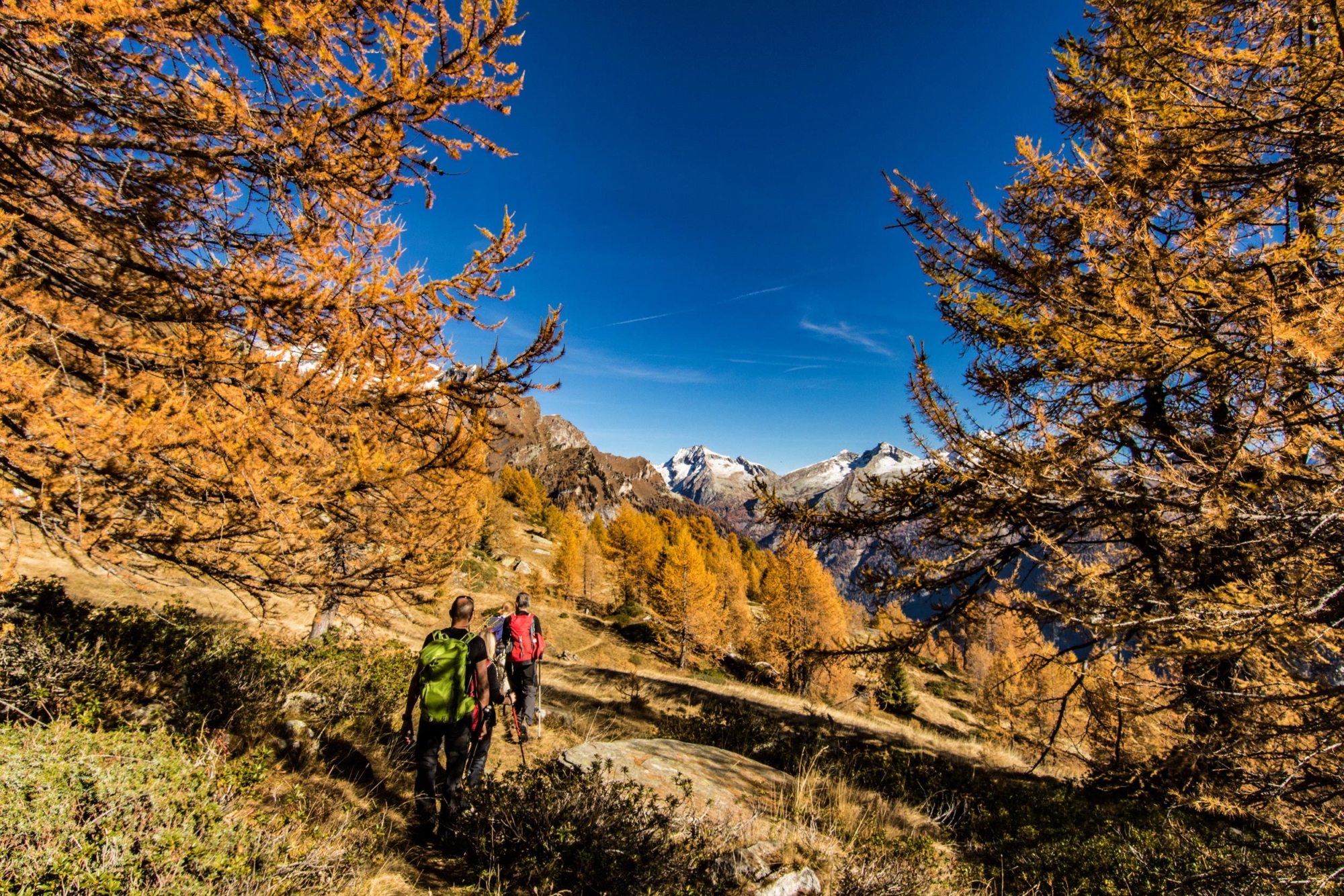
When the bus arrives at Passo, there’s a board outlining the route and providing useful information. Until the 1980s the mule track that led to the old Walser village of Salecchio was still viable. Today it’s incorporated largely by a path. Head uphill until you reach a section of the mule track via a beautiful chapel, crossing the road that comes out of the gallery, continuing upwards and then turning right along the path that leads to the Walser village of Salecchio Inferiore. Cross the old town, admiring the old community oven, to reach the church with its nearby cemetery. You then arrive at a group of Walser houses, where the old school stands, and start ascending again until you meet a staircase that leads to a panoramic chapel. Once you reach Salecchio Superiore, take the path that leads to the “Zum Gora Refuge”. From here, go up to the oratory of the village and, passing the old houses, reach the remains of the sawmill and mills. The route continues slightly uphill to the picturesque old town of “Casa Francoli” where, in addition to admiring the harmonious combination of stone and wooden houses, there’s also a lime kiln. From here, descend to Alpe Vova and turn right towards Alpe Forno. A path starts here that is built between the rocks and leads to the village of Rivasco below. From the oratory of the village, descend among beautiful Walser houses and cross the Toce River to take the G00 route of “Via del Gries”, which leads back to the starting point.

Useful info

Italian Alpine Club (CAI) site identification code

Sector G “Routes” – IG16

Useful info

Domodossola FS International Railway Station (from Bern and Milan). From the BUS terminal, take the Formazza Valley bus route, getting off in Passo.
Contact details: Municipality of Premia
CAI contact details: Formazza Section

Difficulty

Medium difficulty. The route requires a good level of fitness. Be careful on descending from Alpe Vova to Rivasco.

Lenght

9,7 km

Ascent

743 m

Total duration

4 hrs 10 min

Recommended equipment

Hiking boots and mountain clothing.

Signage

G21 – G27 – G23 – G00

Best time of year

From May to October

Reference map(s)

Map no. 10 scale 1:25,000 of the Geo4Map/CAI
Digital maps on the following apps: ViewRanger – Avenza Maps

Historic, artistic and cultural value
Value of traditional and peasant life
Ideal for
Everybody
You will discover
Nature
Sport
Guide to itineraries and useful info
Ideal for
Everybody
You will discover
Nature
Sport
Guide to itineraries and useful info
Choose your
mountain guide
IAT di Crodo
Via Bagni, 20 28862 Crodo (VB) See map
Choose your
tour or nature guide

You might also be interested in...