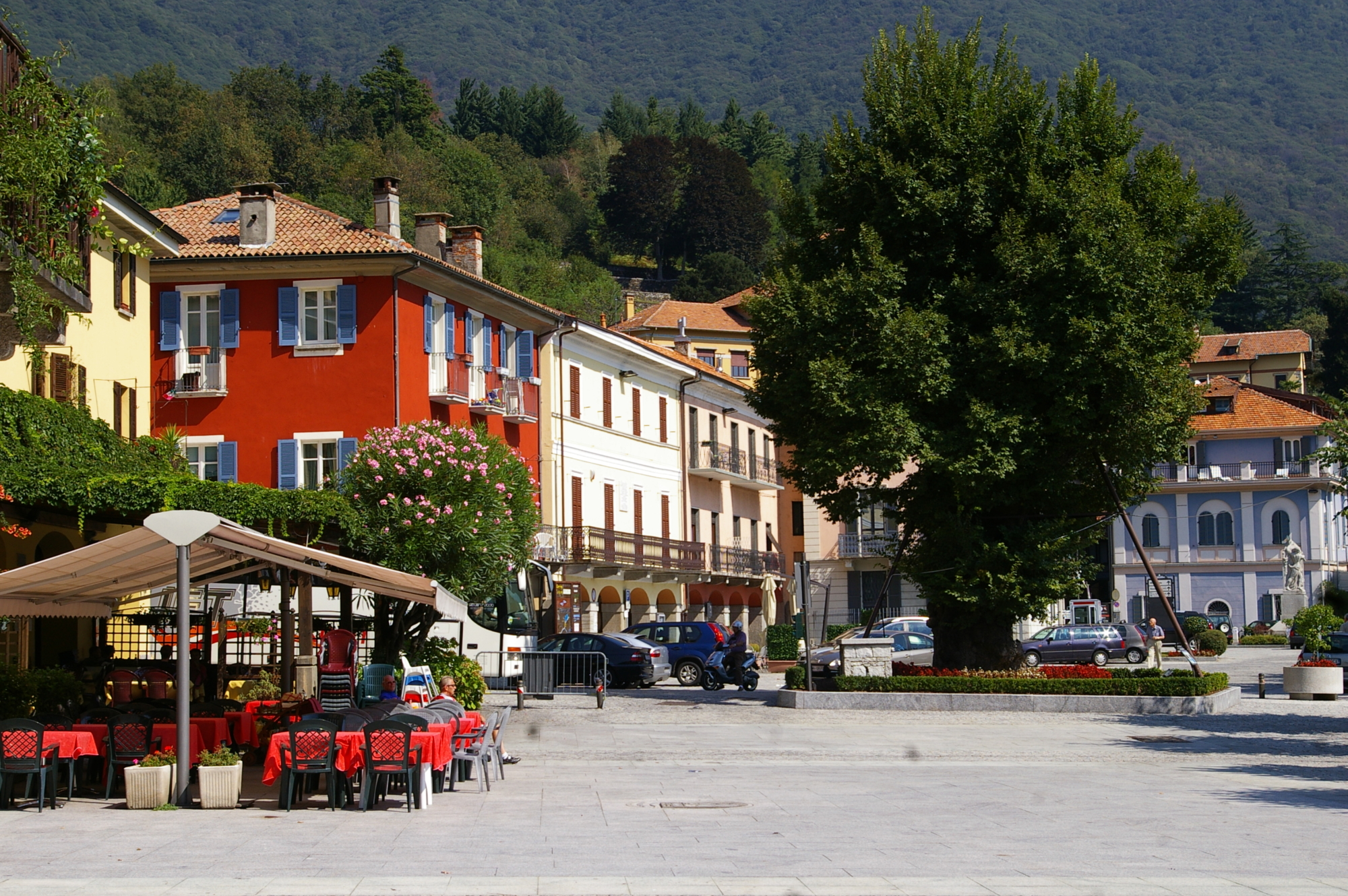
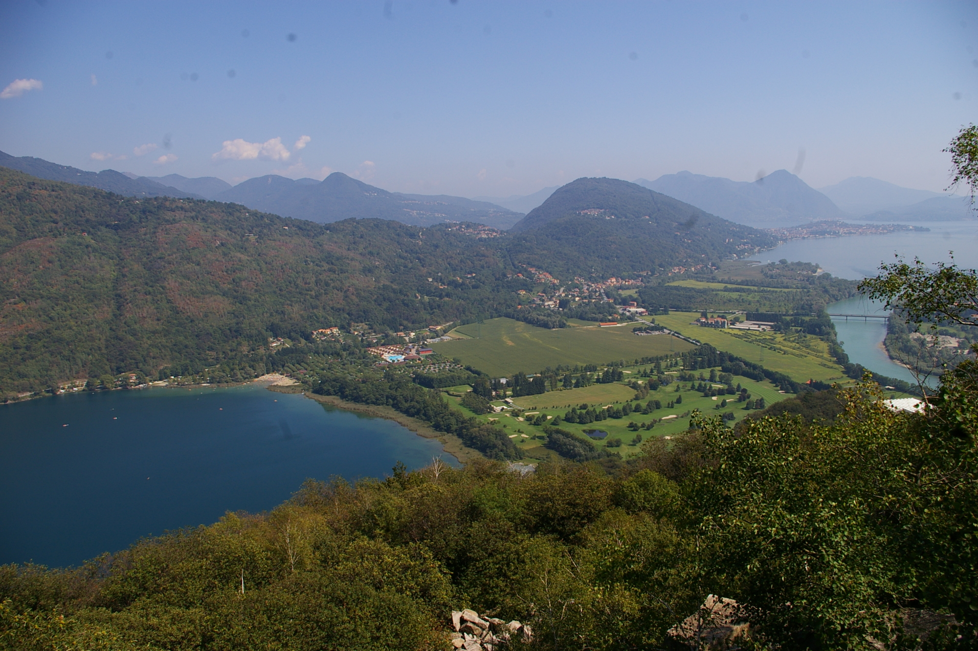
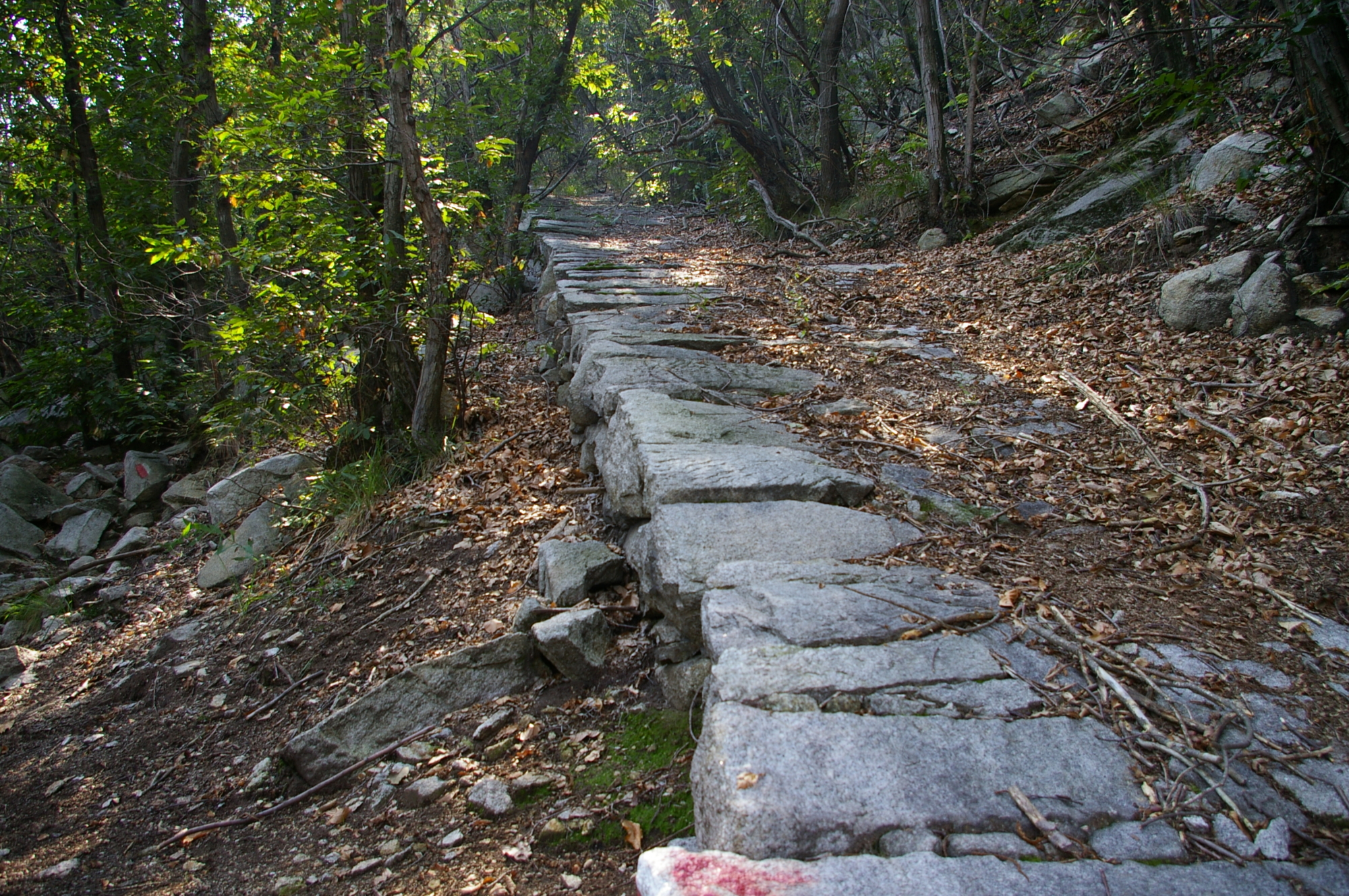
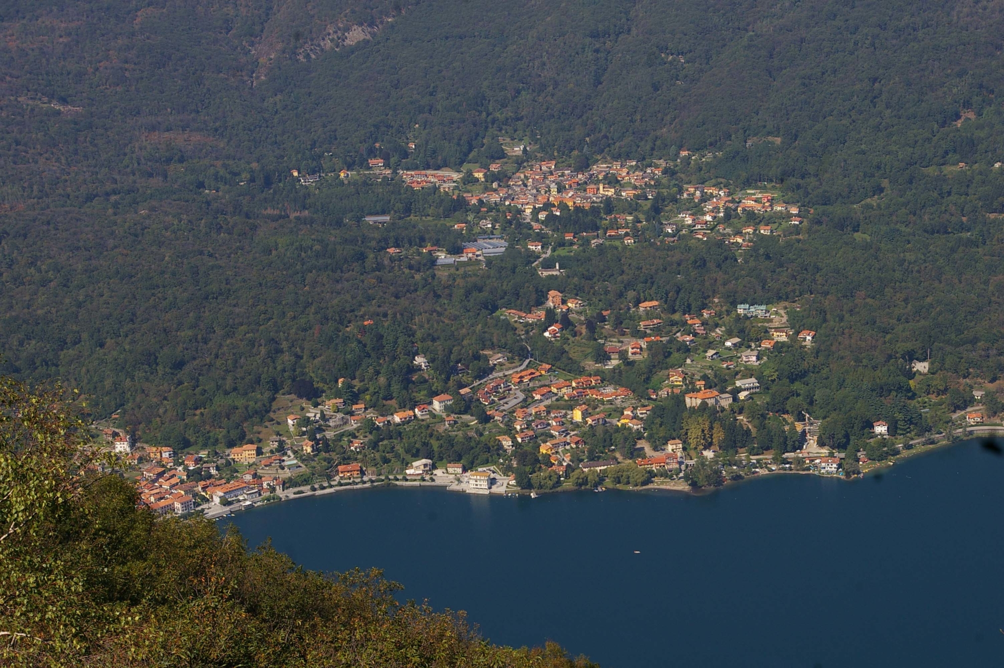
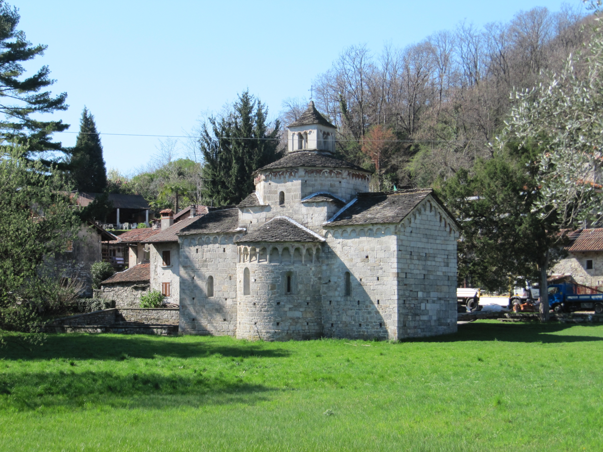
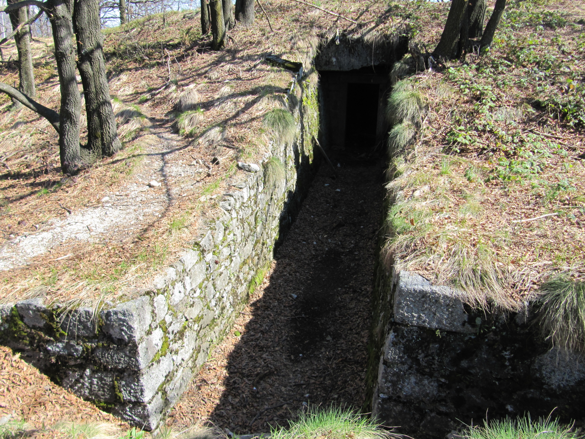
For those who choose to use public transport, from the bus stop in the square of the old elm of Mergozzo, take the main street that leads to the parish church. Just in front of the staircase, take the street leading to the house of the Knights of Malta via steps and then, turning left, the Church of San Marco. Take the road that runs along the left side and, past the railway, continue with the chapel to your right, passing the junction for the Garden until you reach Rubianco chapel. From here, turn left slightly to find a wide path that climbs to the green granite quarry and then continues to meet the barracks of the Linea Cadorna. Follow the Cadorna road as far as the fork at the Polveriere and, with a short flat stretch, you’ll reach the site of the powder magazines. Returning to the fork, the trail begins to climb again along a short flat stretch that passes on the right side of a small promontory, then the mule track climbs steadily up to the top of Montorfano. Before going down, it’s advisable to take some time to look around the summit, from which you can admire a beautiful 360° panorama. Starting from the telephone mast, the path descends steeply until it crosses the “strusa” (a slide that was used to transport blocks of stone extracted from the quarry) and then continues to the Montorfano crags. From here, the route follows a trail as far as the village of Montorfano. A short loop around the town allows you to explore its characteristic stone architecture, wisely preserved, and the wonderful Church of San Giovanni. Finally, descend along the paved road to the junction with the mule track that leads to Mergozzo.