Hiking – Verampio, Baceno and around the Ravines
Difficulty
Easy
Period
Spring / Summer / Autumn

The mighty Toce glacier has shaped the slopes of the mountains, giving life to the present morphology. This route takes us on a journey back in time: the Verampio basin, with the geological uniqueness of element 0, the deepest tectonic element known in the entire Alpine arc, is one of the hidden treasures of the Ossola Valley. The rocky layer is dome-shaped and is known as Verampio’s Dome (Cupola di Verampio). The extraordinary basin of Baceno with its splendid Monumental Church (an Italian National Monument), gorges, the glacial garden of the Uriezzo Ravines and glacial potholes complete this spectacular journey among history and nature.

Description

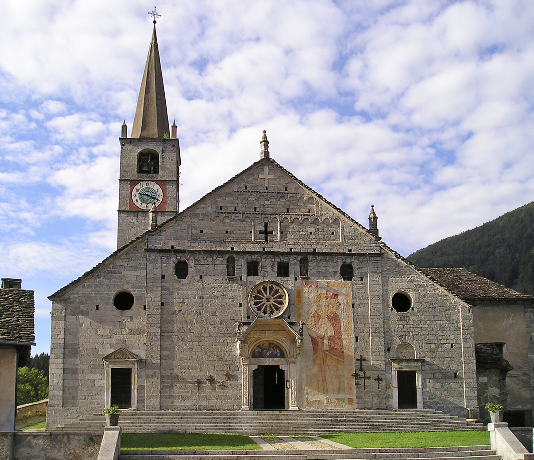
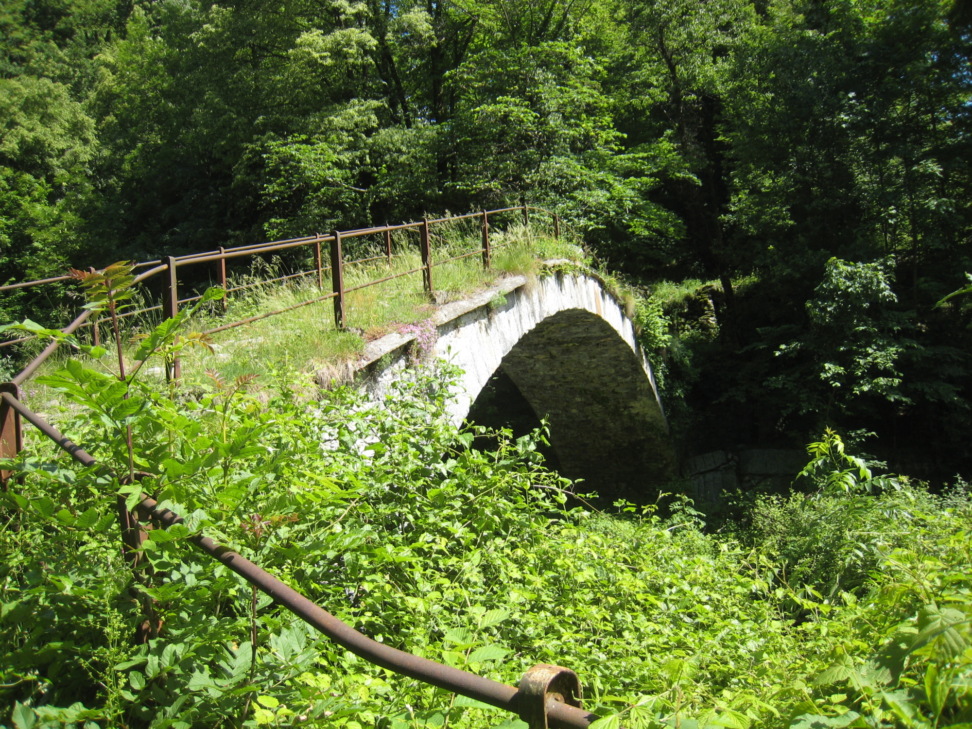
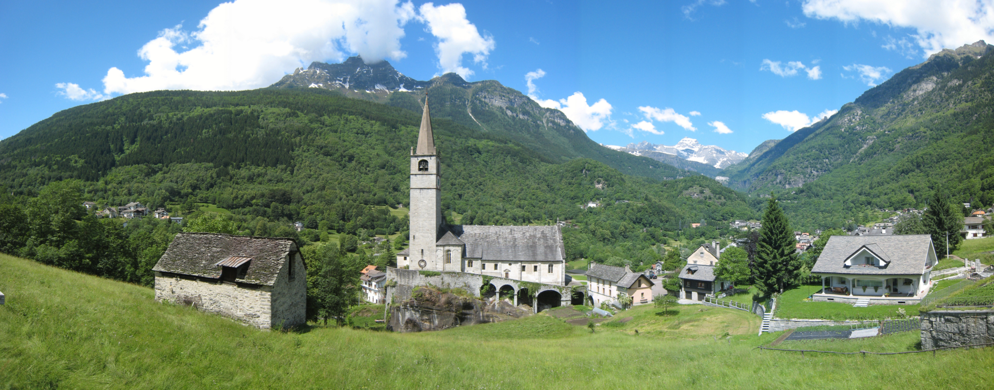
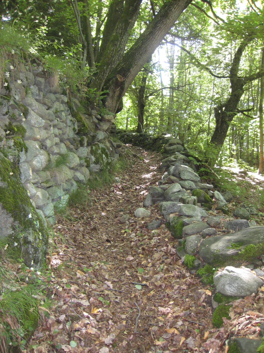
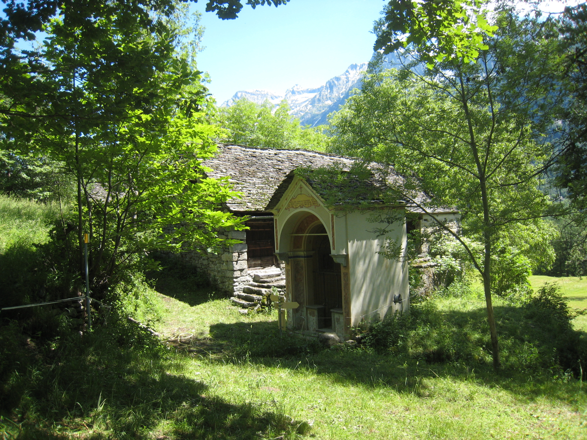
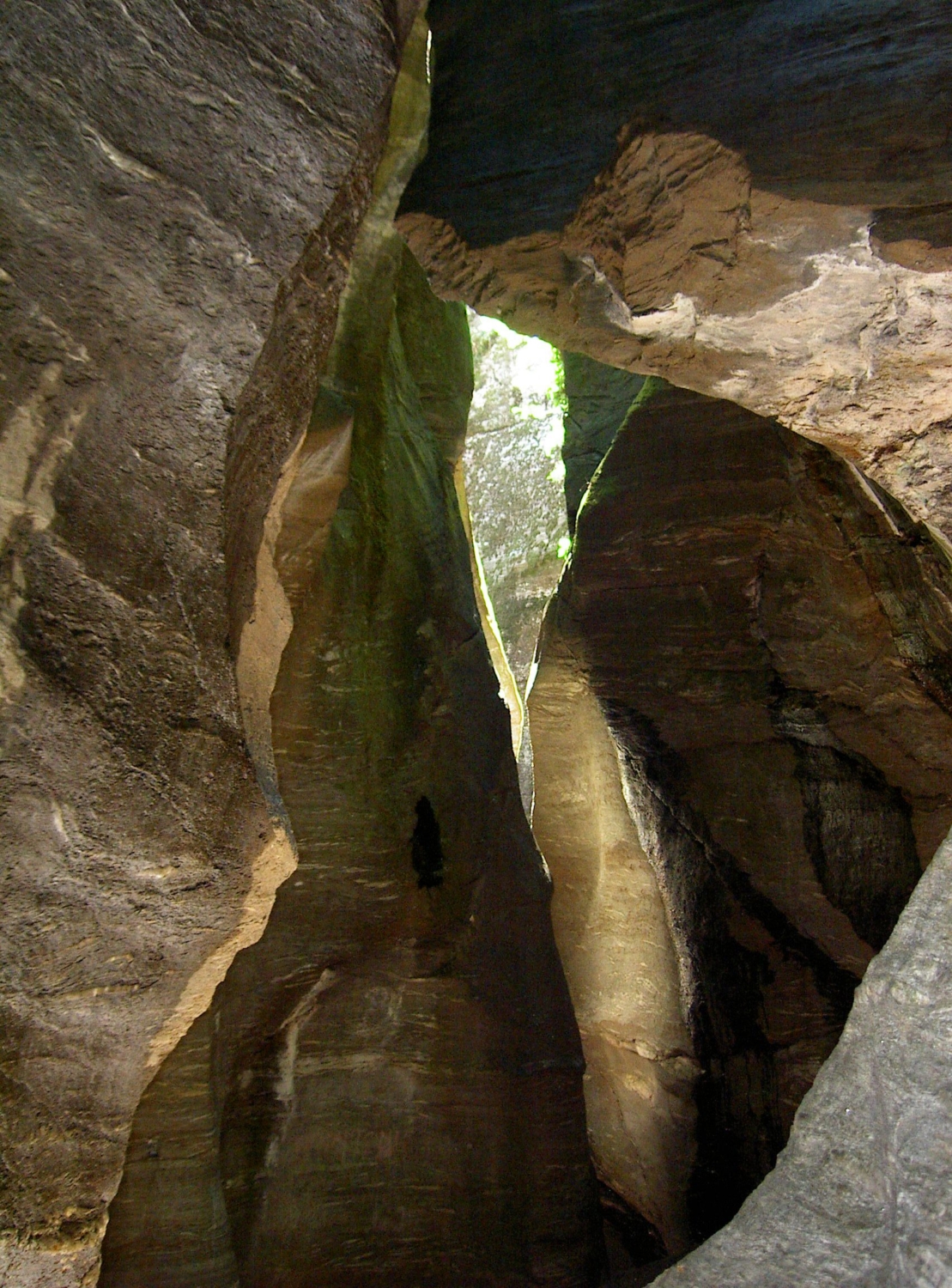
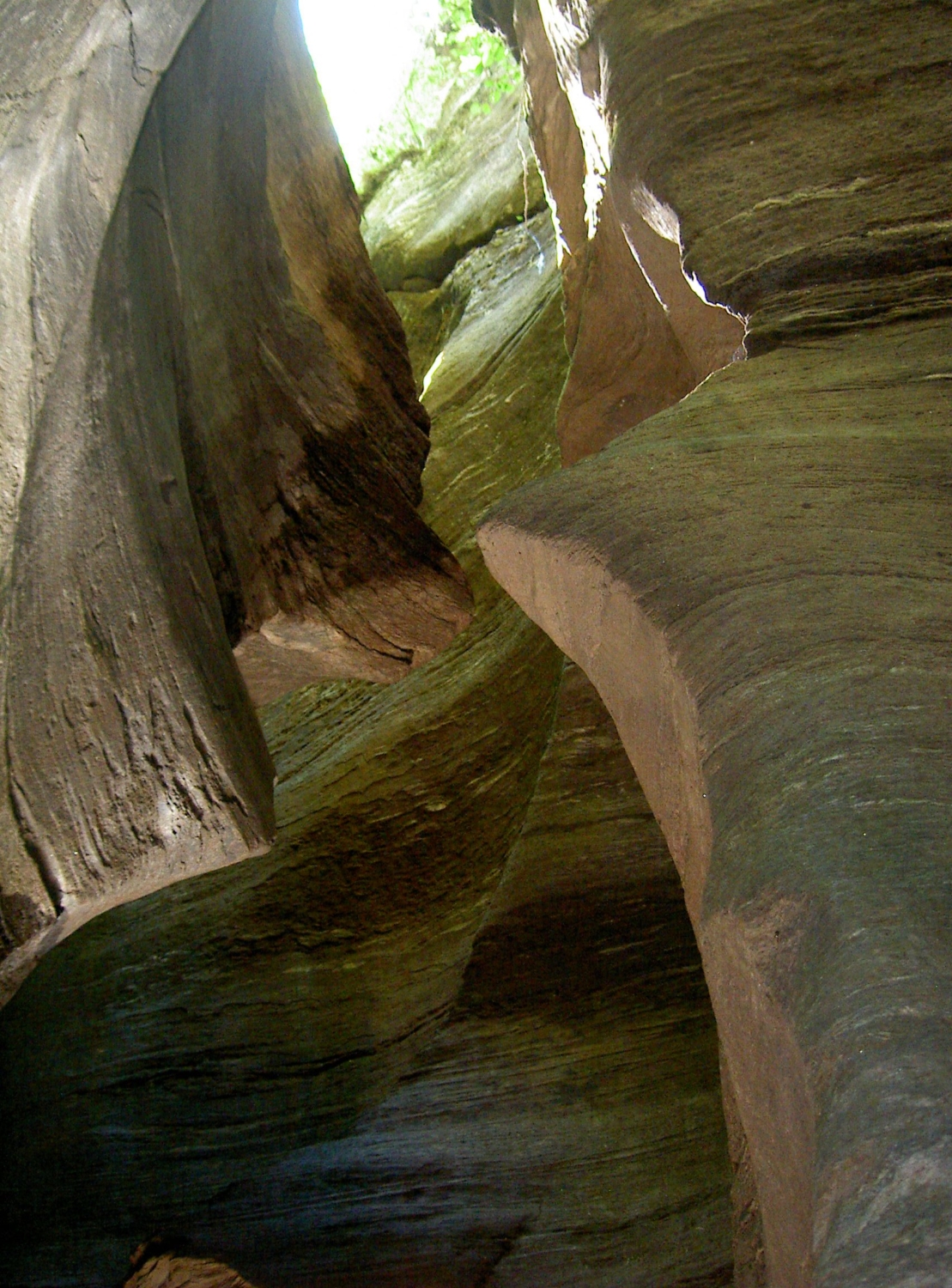
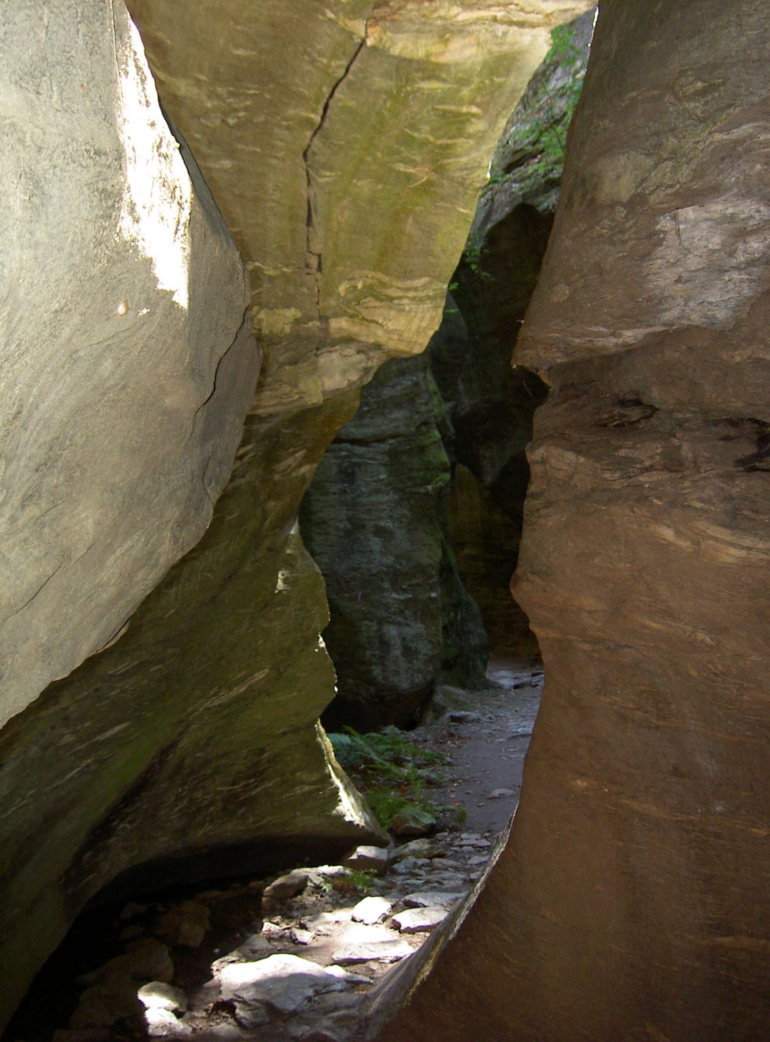
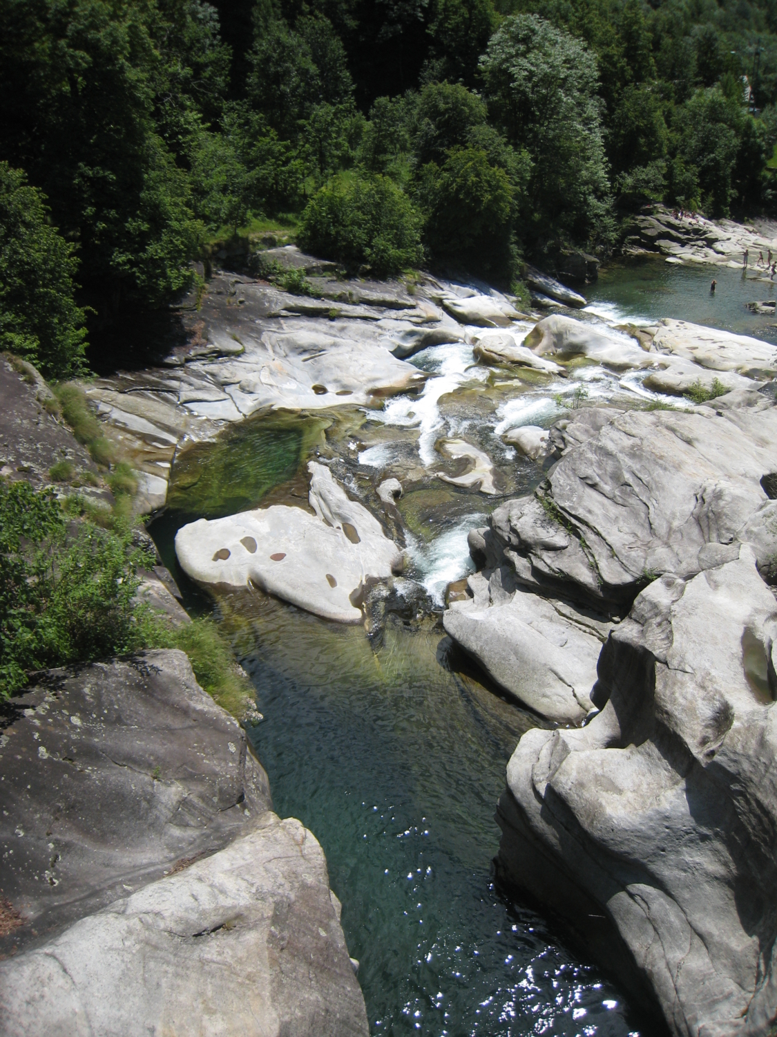
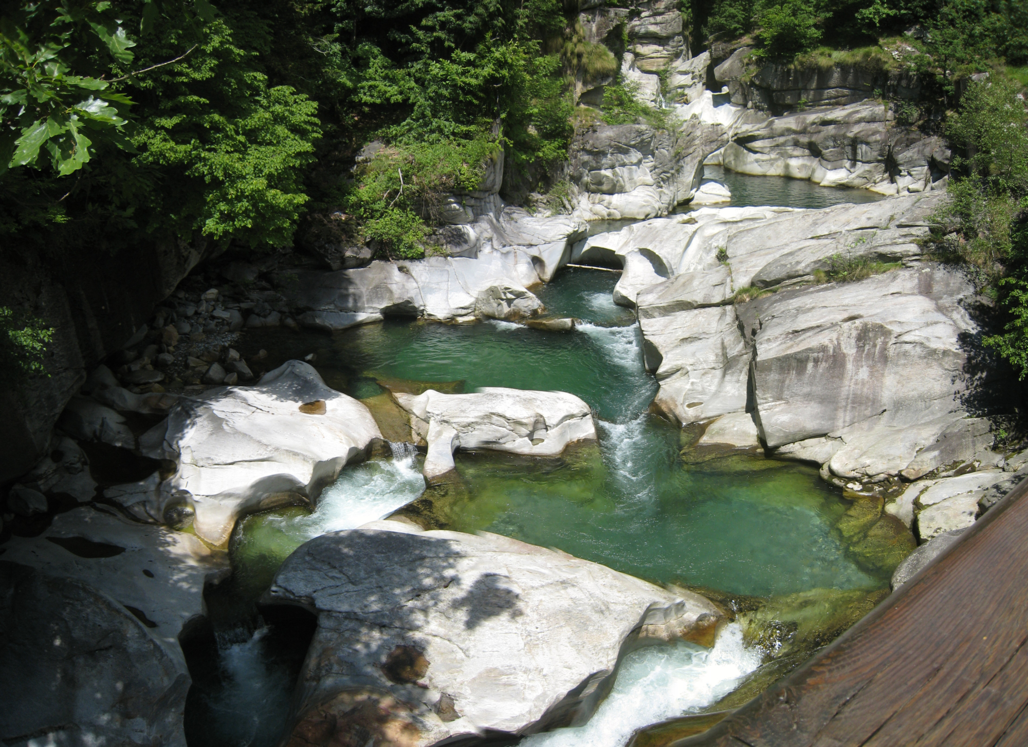
At the arrival of the bus (Verampio stop), take the paved road to Verampio and shortly after turn left to take the mule track that runs along the ancient “Via del Gries”. At the sports field, turn off the road and continue until you reach the last houses, from where the mule track that goes up to Baceno starts. Cross the bridge and continue along the path, leaving on the right the path that leads to the south ravine (Orrido sud) and reach the junction for Balmalcore. Here follow signs for Baceno (“Via del Passo d’Arbola”, H00). Continue on the latter as far as the Monumental Church of Baceno, absolutely worth a visit, and then continue uphill until you cross the main road to the Formazza Valley. A short downhill stretch takes you to the H00a path as far as the Chapel d’la Posa. From here, take the path that descends along the road, continue along a paved stretch and then descend to the right on a stepped mule track that leads to Uriezzo and the Oratory of Santa Lucia. After a short visit to the oratory, return to the fork for Orrido Sud. Paying careful attention, enter and cross the spectacular gorge: with the help of the special stairs, cross it up to the exit, meeting the path and, going along it, descending to Maiesso to admire the “Marmitte dei Giganti”, mighty glacial erosions. Again on a trail, return to the houses near the sports ground in Verampio and from here to the bus stop.

Useful info

Italian Alpine Club (CAI) site identification code

Sector G “Routes” – IG11

Useful info

Domodossola FS International Railway Station (from Bern and Milan).
From the BUS terminal, take the Formazza Valley bus route, getting off in Verampio.
Contact details: Municipality of Baceno
CAI contact details: Formazza Section

Difficulty

Easy. The route is not particularly difficult. You should be very careful on the state road to Uriezzo and on getting to Orrido Sud.

Lenght

10,5 km

Ascent

252 m

Total duration

3 hrs

Recommended equipment

Walking boots.

Signage

G00 – H00 – H00a –G34b – G06a – G06

Reference map(s)

Map no. 12 scale 1:25,000 of the Geo4Map/CAI
Digital maps on the following apps: ViewRanger – Avenza Maps

Historic, artistic and cultural value
Natural value
Ideal for
Everybody
You will discover
Nature
Sport
Guide to itineraries and useful info
Ideal for
Everybody
You will discover
Nature
Sport
Guide to itineraries and useful info
Choose your
mountain guide
IAT di Crodo
Via Bagni, 20 28862 Crodo (VB) See map
Choose your
tour or nature guide

You might also be interested in...