Description
DISCOVER THE OTHER STAGES OF THE VIA DEL MERCATO:
Stage 1 – From Masera to Re
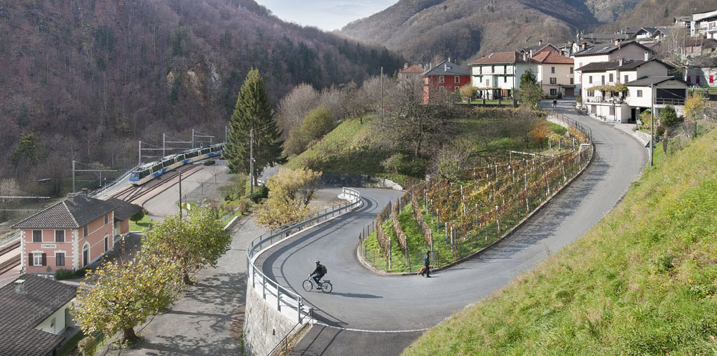
Stage 3 – From Camedo to Intragna
Useful info
Italian Alpine Club (CAI) site identification code
Sector M “Historic Routes” M00
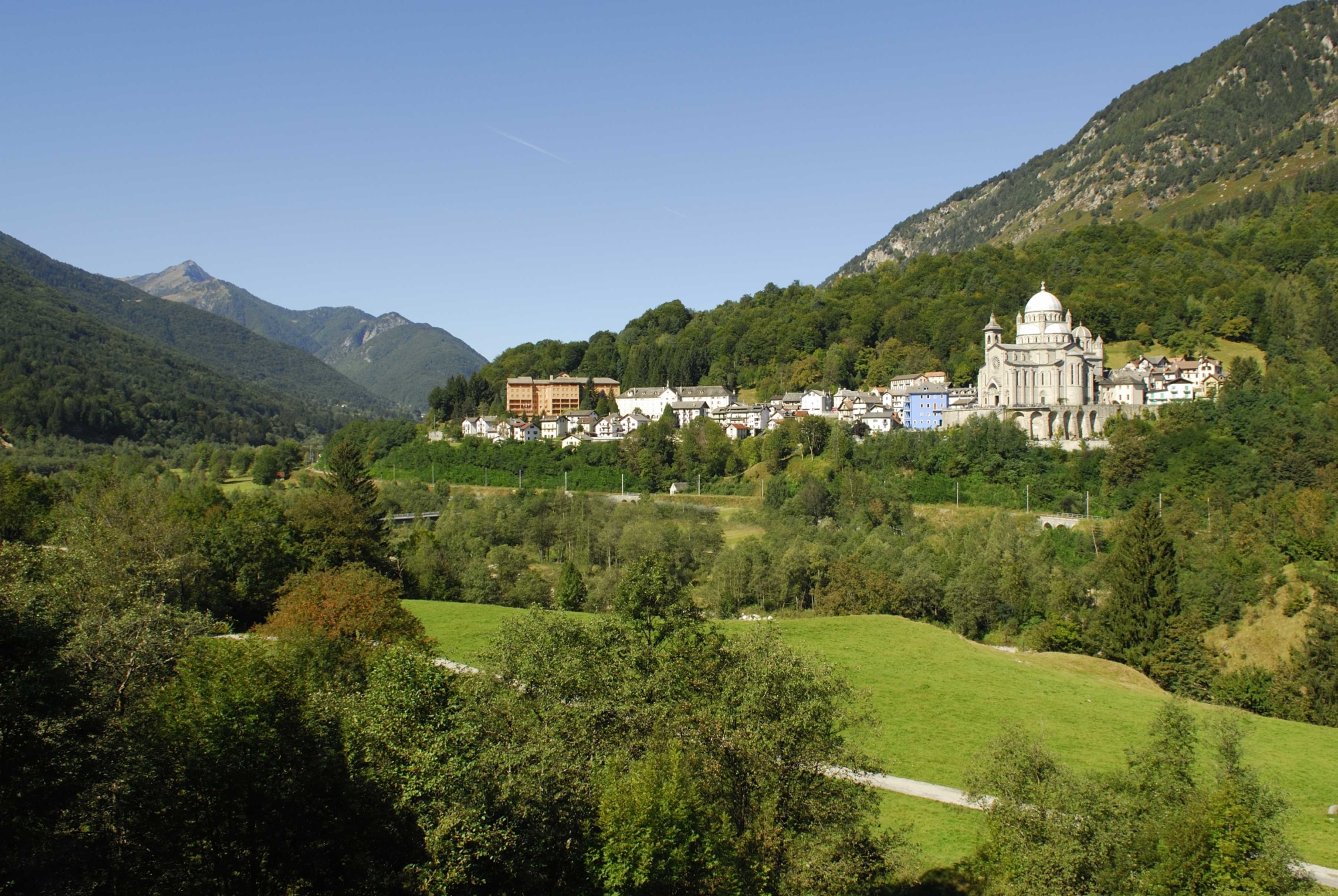
Starting point
Re (by the majestic Sanctuary of the Madonna del Sangue)
Places visited
Re, Folsogno, Dissimo, Olgia, Ponte Ribellasca, Camedo
Points of interest along the route
- Maglione bridge
- The village of Folsogno
- Dissimo bridge
- The oratory in Dissimo
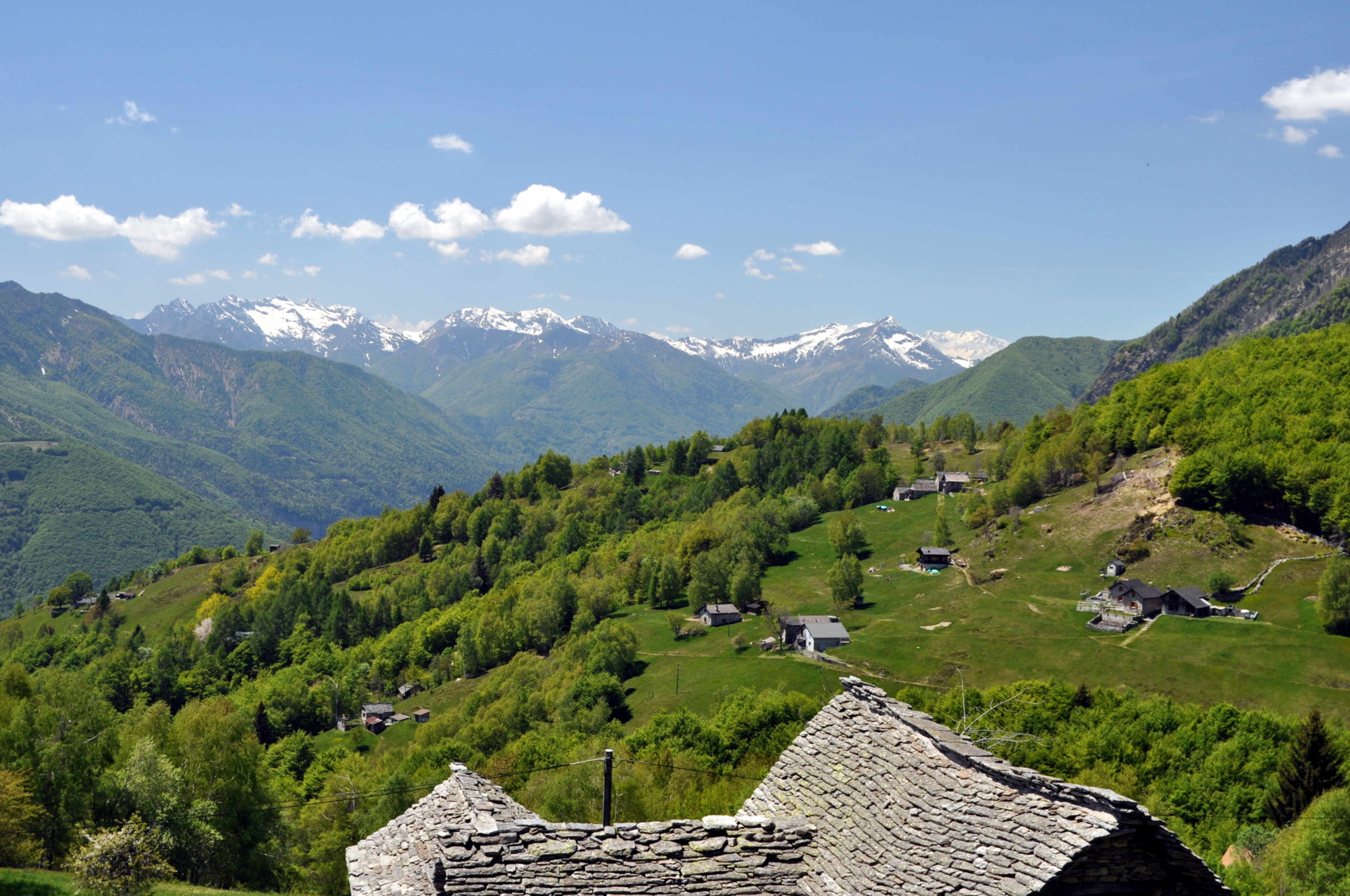
- Viewpoints
- The village of Olgia
- Ancient stretch of mule track
Accomodations
Accommodation facilities in Camedo.
Alternatively, you can go back to Domodossola on the scenic Vigezzina-Centovalli railway.
Useful info
Transport: If you’re coming from Domodossola and you didn’t spend the night in Re after the first stage of the Via del Mercato, from Domodossola FS International Railway Station, follow signs for the underground tunnel from which the scenic Vigezzina-Centovalli railway departs, getting off in Re (we recommend getting a return ticket back from Camedo).
Contact details: Municipality of Re and Camedo
CAI contact details: Valle Vigezzo Section
Difficulty
Lenght
Ascent/descent
274 m ascent / 399 m descent
Time to complete the route
Signage
Best time of year
Reference map(s)
Map no. 13 scale 1:25,000 (Valle Cannobina) by Geo4Map/CAI
Digital maps on the following apps: ViewRanger – PDF Maps